Hurricane Barry (2019)
A Category 1 Atlantic hurricane in July 2019 that formed from a mesoscale convective vortex, made two Louisiana landfalls, and produced heavy rainfall, storm surge and widespread flooding.
Overview
Hurricane Barry was an early-season Atlantic hurricane that affected the central Gulf Coast of the United States in July 2019. It was the second named storm and the first hurricane of the 2019 Atlantic hurricane season. Barry is notable for having developed from a mesoscale convective vortex that tracked eastward from the U.S. Midwest into the Gulf of Mexico, where it acquired tropical characteristics and intensified before making landfall in Louisiana.
Image gallery
10 Images


Meteorological history
The disturbance that became Barry originated as a mesoscale convective vortex over the Midwestern United States on July 4, 2019. After several days over land the system entered the northern Gulf of Mexico on July 10 and was designated a potential tropical cyclone the same day as it approached the coast. The system strengthened into Tropical Storm Barry on July 11. On July 13 Barry reached hurricane intensity, with maximum 1‑minute sustained winds near 75 mph (120 km/h) and a minimum central pressure around 991 mb. The storm made two near-concurrent landfalls in Louisiana on July 13 as a Category 1 hurricane — first on Marsh Island and later near Intracoastal City — then weakened to a tropical storm as it moved inland. Barry degenerated to a remnant low over northern Arkansas on July 15 and finally dissipated on July 19.
Characteristics
- Origin: mesoscale convective vortex over the Midwest, which later acquired tropical characteristics in the Gulf.
- Intensity: peaked as a Category 1 hurricane (75 mph winds; ~991 mb pressure).
- Landfalls: two landfalls in Louisiana on July 13.
- Lifespan: organized as a tropical cyclone from July 11 until degeneration to a remnant low on July 15; final dissipation July 19.
Impacts and aftermath
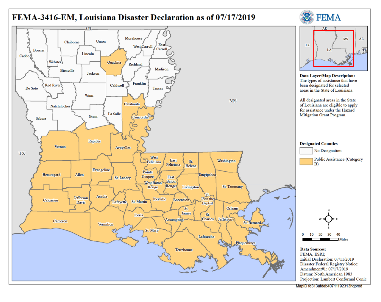
Barry produced heavy rainfall, coastal storm surge, and tropical storm–force winds across portions of Louisiana, Mississippi and inland states as it moved northward. Flooding affected low-lying coastal areas and river basins, prompting localized evacuations and road closures. Coastal communities experienced inundation from storm surge while inland areas saw flash flooding and swollen rivers. The storm also produced isolated tornadoes and caused power outages for portions of the impacted region. Emergency responders and state agencies conducted search, rescue, and recovery operations in the days following landfall, and recovery included debris removal and infrastructure repairs.
Preparations and response
Prior to landfall, local and state authorities issued watches and warnings for coastal Louisiana and parts of the central Gulf Coast, and some communities implemented voluntary or mandatory evacuations for vulnerable low-lying areas. Coastal flood and storm-surge advisories were emphasized, and port operations were altered. Federal, state, and local agencies coordinated to stage resources for response and recovery. After Barry, attention focused on flood mitigation, assessing levee and drainage performance, and restoring utilities.
Records and notable facts
Barry was the fourth recorded storm to make landfall in Louisiana as a hurricane in July, joining Hurricane Bob (1979), Danny (1997), and Cindy (2005) in that distinction. Its genesis from a mesoscale convective vortex over the continental United States highlights a less common pathway for tropical cyclone development. For detailed meteorological analyses and official post-storm reports, see official sources such as the National Hurricane Center and regional weather services (further information).
Although Barry was a relatively modest Category 1 hurricane at peak intensity, its slow motion and heavy rainfall caused much of its damage through flooding rather than extreme winds, underscoring how even lower-category tropical cyclones can produce significant impacts.
Questions and answers
Q: How many storms have made landfall at hurricane strength in Louisiana in July?
A: Four storms have made landfall at hurricane strength in Louisiana in July.
Q: When did Hurricane Barry originate?
A: Hurricane Barry originated on July 4 as a mesoscale convective vortex over the Midwestern United States.
Q: When was Barry classified as a potential tropical cyclone?
A: Barry was classified as a potential tropical cyclone on July 10.
Q: When did Barry become a tropical storm?
A: Barry became a tropical storm on July 11.
Q: When did Barry reach hurricane status?
A: Barry reached hurricane status on July 13.
Q: What was the maximum sustained winds of Hurricane Barry?
A: The maximum sustained winds of Hurricane Barry were 75 mph (120 km/h).
Q: When did Barry degenerate and dissipate?
A: Barry degenerated into a remnant low over northern Arkansas on July 15 and dissipated on July 19.
Related articles
Author
AlegsaOnline.com Hurricane Barry (2019) Leandro Alegsa
URL: https://en.alegsaonline.com/art/45831