Hulme, Manchester — inner‑city district and electoral ward
Hulme is an inner‑city district and electoral ward south of Manchester city centre. Noted for industrial links, postwar housing changes and later regeneration, it lies between the River Medlock and the Bridgewater Canal.
Overview
Hulme is an inner‑city area and electoral ward within the wider conurbation of Manchester. It sits immediately south of the city centre, separated from it by the River Medlock, and forms a compact district with a mixed residential and commercial character. Hulme is part of England and was historically administered as part of Lancashire, a legacy reflected in older records and place‑name studies referenced in local historical sources.
Image gallery
10 Images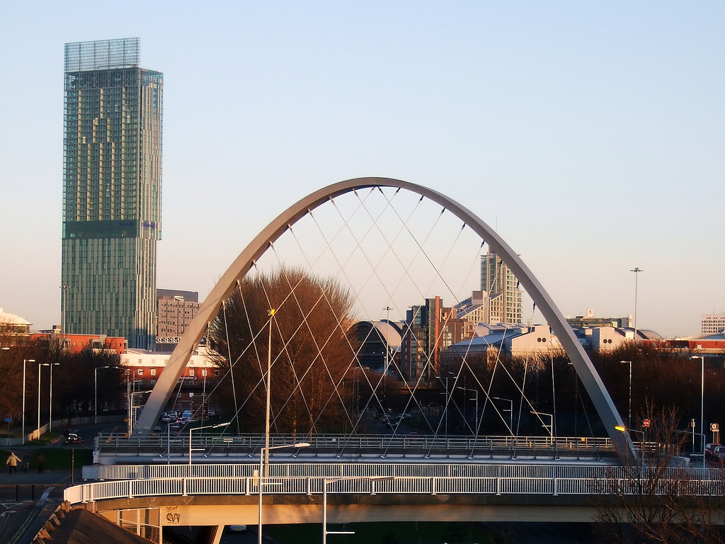


Geography and neighbourhoods
The area lies between several notable localities: Chorlton‑on‑Medlock to the east, Moss Side to the south and Old Trafford to the west. A smaller quarter near Old Trafford is commonly called Cornbrook, taking its name from the Corn Brook, a tributary that feeds into the River Irwell. The Bridgewater Canal also crosses Hulme, a waterway that helped shape the district’s industrial past and remains a prominent physical feature today.
Origins and historical development
The place‑name Hulme derives from an Old Norse word meaning a small island or area of dry ground amid marsh — a hint that Norse settlers or influences arrived here during the period commonly called the Danelaw. Over centuries Hulme evolved from semi‑rural land into a densely built working‑class district as Manchester expanded during the Industrial Revolution. Its proximity to canals and railways made it attractive for factories and workers’ housing.
Twentieth‑century change and regeneration
Like many inner‑city districts, Hulme experienced major social and physical change in the 20th century. Older housing and industrial yards were replaced by large‑scale council schemes that later proved unsuited to residents’ needs; those schemes were themselves dismantled and replaced by new mixed tenure housing as part of regeneration efforts. From the late 20th century onward, substantial public‑ and private‑sector investment, community initiatives and housing projects reshaped the built environment and local services.
Character, community and culture
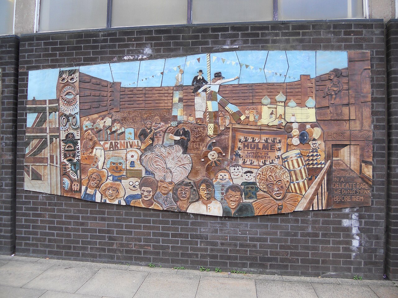
Modern Hulme is notable for its diverse population, active community organisations, and a range of cultural outlets. The area hosts community gardens, small arts venues, and social enterprises, and its proximity to central Manchester means it is popular with students and young professionals as well as long‑standing residents. Local landmarks and public spaces — including canalfronts and regenerated parks — serve as hubs for events and community life.
Transport and points of interest
- Waterways: the Bridgewater Canal crosses Hulme and remains a visible reminder of the area’s industrial geography.
- Road and public transport: good links to central Manchester and neighbouring districts support commuting, leisure and business activity.
- Local quarters: Cornbrook and other named parts of Hulme reflect historic waterways and industrial sites converted for modern use.
Hulme’s story is one of continual adaptation: from marshy ground to industrial neighbourhood, through challenging mid‑century redevelopment, to a reinvigorated inner‑city community. For further local information and historical context see municipal histories and community archives linked from regional resources such as Manchester and county references in Lancashire.
Readers seeking more detailed maps, transport timetables or conservation notes can consult local planning pages and community groups that document Hulme’s ongoing development and civic life (national context and historical records provide wider background).
Nearby localities and waterways are frequently mentioned in discussions of Hulme’s identity: the Corn Brook and its Cornbrook quarter, the River Irwell, adjacent Chorlton‑on‑Medlock, and broader Manchester roles documented on civic portals (Danelaw era references).
Questions and answers
Q: What is Hulme?
A: Hulme is an inner city area and electoral ward of Manchester, England.
Q: Where is Hulme located with respect to Manchester city centre?
A: Hulme is south of Manchester city centre and is divided from it by the River Medlock.
Q: What is the historical background of Hulme?
A: Historically a part of Lancashire, the name Hulme comes from the Old Norse word for a small island, or land surrounded by water or marsh, showing that it was probably settled by Norse invaders during the period of the Danelaw.
Q: What is the name of the part of Hulme nearest to Old Trafford?
A: The part of Hulme nearest to Old Trafford is known as Cornbrook from the Corn Brook, a tributary of the River Irwell.
Q: Does the Bridgewater Canal pass through Hulme?
A: Yes, the Bridgewater Canal passes through Hulme.
Q: What areas are adjacent to Hulme?
A: Chorlton-on-Medlock is to the east, Moss Side to the south, and Old Trafford to the west.
Q: Is Hulme entirely surrounded by water, according to its historical name?
A: No, the historical name of Hulme referred to a small island or land surrounded by water or marsh, indicating that it was probably settled by Norse invaders during the period of the Danelaw. However, today Hulme is not entirely surrounded by water.
Related articles
Author
AlegsaOnline.com Hulme, Manchester — inner‑city district and electoral ward Leandro Alegsa
URL: https://en.alegsaonline.com/art/45633
Sources
- manchester.gov.uk : Usual Resident Population in Manchester