Hudson River
Major New York river and tidal estuary running from the Adirondacks to New York Harbor; notable for navigation, ecology, cultural history, and long restoration efforts.
Overview
The Hudson River is a principal waterway in the state of New York, United States. It flows roughly 315 miles (507 km) from high ground in the Adirondack Mountains to New York Harbor, entering the sea at New York City. The river is named after the early 17th-century explorer Henry Hudson, whose voyages opened the region to European navigation and settlement. Its course links small upland streams, historic towns and major ports, forming an artery that has shaped settlement and commerce in the region for centuries.
Image gallery
10 Images


Physical characteristics
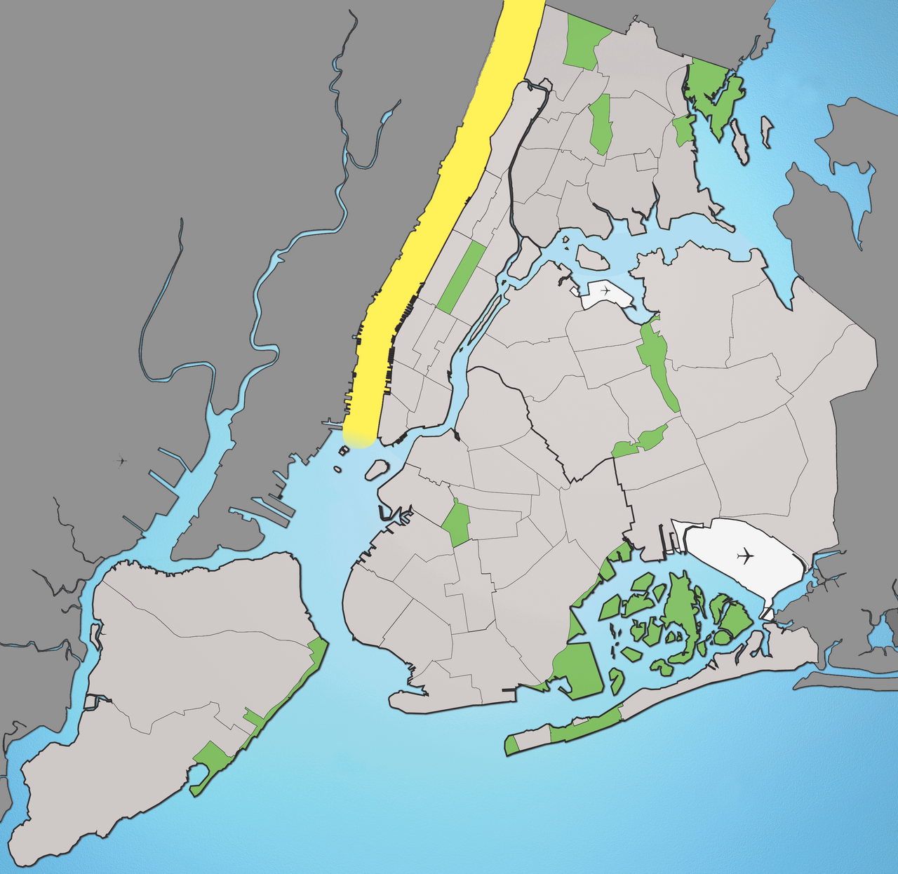
The Hudson is notable for being a long tidal estuary. From the ocean end up to about Poughkeepsie the water contains measurable salt from the Atlantic; beyond that the river is predominantly fresh. Tidal motion and changing river flow shift the brackish zone seasonally and with the tide. The river’s headwaters arise near Lake Tear of the Clouds on Mount Marcy in Essex County, and its watershed drains diverse landscapes from upland forests to urbanized estuary.
History and human use
The Hudson has long been a corridor for transportation, trade and industry. Indigenous peoples lived along its shores for millennia before European exploration and settlement. In the 17th century, European navigation and commerce grew after Hudson’s voyages. The river later became part of inland trade routes when canal and rail connections were built; notably, the Erie Canal linked the Hudson at Albany to the Great Lakes, transforming New York into a national trade hub. The lower river also defines territorial borders and docks many ports; its southern reaches form a boundary between New York and New Jersey in places.
Ecology, pollution and restoration
Industrial development brought jobs but also environmental damage. Over the 19th and 20th centuries, pollutants from industry and other sources produced significant pollution, contaminating sediments and affecting fish and wildlife. In recent decades scientists, community groups and government agencies have worked to reduce contaminants, restore habitats and improve water quality. These efforts include monitoring, cleanup of contaminated sites, fish advisories where needed, and restoration of wetlands and riverfront environments that support migratory and resident species.
Uses, towns and cultural importance
The Hudson remains important for commercial shipping, regional ferry services, recreation and tourism. Cities and towns along its banks — from small river communities to metropolitan areas — rely on the river for commerce, drinking water, leisure and identity. Notable places along the river include Upstate and mid-Hudson towns as well as the metropolitan corridor leading into New York City. The river has also inspired artists and writers: 19th-century landscape painters known collectively as the Hudson River School celebrated its scenery, and the river continues to appear in literature and public memory.
Key points and distinctions
- The Hudson is an estuary for a long portion of its length, mixing salt and fresh water and supporting diverse ecosystems.
- Its headwaters lie in the Adirondacks and its mouth is at New York Harbor; along the way it connects rural, suburban and urban landscapes.
- Historical engineering links such as the Erie Canal magnified the river’s role in commerce; the lower river is sometimes called the North River in historical usage.
- Efforts to address legacy pollution have been sustained and involve federal, state and local actors working to improve habitat and public access.
For maps, historical records and official resources about communities and conservation programs on the river, consult localized guides and agencies that manage navigation, wildlife and water quality in the Hudson corridor.
Related links: national context, estuary science, pollution history, industrial heritage, salinity.
Other references: state information, New York overview, Essex County, harbor, city, explorer, fresh–salt divide, tides, capital region, neighboring state.
Questions and answers
Q: What is the Hudson River?
A: The Hudson River is a 315 mile long river located in the State of New York in the United States.
Q: Who named the Hudson River?
A: The Hudson River was named after Henry Hudson.
Q: What type of river is the Hudson River?
A: The Hudson River is an estuary, which means that it has some salt in its water from New York City north until Poughkeepsie. After Poughkeepsie, it becomes fresh water until Lake Tear of the Clouds.
Q: Is the pollution in the Hudson River getting better or worse?
A: The pollution in the Hudson River used to be very bad due to industry, but it is becoming cleaner now.
Q: How does the border for salt content move in this river?
A: The border for salt content moves when tide rises and falls.
Q: Does this river connect with any other bodies of water?
A: Yes, part of this river connects with Albany through what's known as Erie Canal from New York City to Albany.
Q: What other name does this river have? A: This river also goes by North River since it separates New York from New Jersey at its lower part.
Related articles
Author
AlegsaOnline.com Hudson River Leandro Alegsa
URL: https://en.alegsaonline.com/art/45549