Highways in Puerto Rico
Overview of Puerto Rico’s highway network, its classification, management, history, major features, and role in transportation and commerce.
The highway network of Puerto Rico forms the island's primary surface transportation system, covering about 14,400 kilometers (8,900 miles) of roads and serving urban centers, mountain towns and coastal communities. Route numbers are assigned island‑wide and identify corridors used for commuting, freight movement and emergency access. The system is often described in terms of road function — from high‑speed expressways to local streets — and is an essential component of Puerto Rico’s infrastructure and economy.
Image gallery
10 Images


Classification and numbering
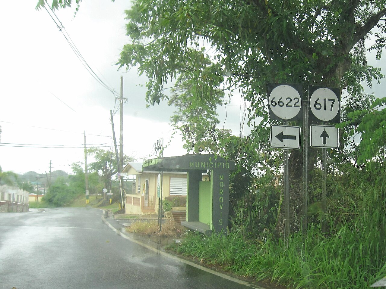
Roads are grouped into four broad types that indicate their intended function and level of jurisdiction: primary roads, urban primary roads, secondary (inter‑municipal) roads and tertiary (municipal or local) roads. Numbering follows a consistent scheme: primary routes are numbered from 1 to 99, secondary routes from 100 to 299, and municipal/tertiary routes use numbers in the higher ranges. A single highway route may traverse multiple classes of road along its length while retaining the same route number; see the official numbering reference at route numbering.
Management and maintenance
Responsibility for planning, construction and maintenance primarily rests with Puerto Rico’s Department of Transportation and Public Works (DTOP). Local municipalities manage many tertiary and some secondary roads within their borders. For current policies, maps and capital projects consult the transportation authority via the official system page and related municipal resources at the territory’s information portal.
Road types, features and examples
The island includes controlled‑access expressways, conventional two‑lane intercity roads and local streets. Several major expressways are tolled and built to higher standards to link principal cities and ports; these routes improve travel times but can be congested near metropolitan areas. For technical data and totals the network length is summarized in official statistics road network data.
History and development
Puerto Rico’s highway network evolved from colonial-era paths and coastal roads into a modern system during the 20th century, with significant expansion in the post‑World War II era. Federal and territorial investment supported the construction of expressways and the upgrading of inter‑municipal corridors. Natural disasters, notably major hurricanes, have periodically damaged roads and prompted reconstruction and resilience projects.
Importance and challenges
Highways are critical for daily commuting, tourism, agriculture and the movement of goods. The network must contend with steep terrain, coastal exposure and tropical weather that accelerate wear and require ongoing maintenance. Planning efforts now emphasize durability, evacuation capacity and improved connectivity between rural municipalities and urban centers. For maps, project updates and traveler advisories, see local transport resources and government publications linked above.
Questions and answers
Q: How many kilometers of roads make up the system of highways in Puerto Rico?
A: About 14,400 kilometers (8,900 mi) of roads make up the system of highways in Puerto Rico.
Q: Who manages the system of highways in Puerto Rico?
A: The system of highways in Puerto Rico is managed by Puerto Rico's Department of Transportation and Public Works.
Q: How many types of roads are there in Puerto Rico?
A: There are four types of roads in Puerto Rico: Primary roads, Urban primary roads, Secondary (or inter-municipal) roads, and Tertiary (or local) roads.
Q: What types of roads are included in the category of primary roads?
A: The category of primary roads includes roads with numbers 1 to 99.
Q: What is the number range for secondary roads in Puerto Rico?
A: The number range for secondary roads in Puerto Rico is 100 to 299.
Q: How are municipal (tertiary) roads numbered in Puerto Rico?
A: Municipal (tertiary) roads are numbered 300 to 9999 in Puerto Rico.
Q: Can a highway in Puerto Rico contain several types of roads?
A: Yes, a highway in Puerto Rico may contain several types of roads, but it will continue to have the same route number.
Related articles
Author
AlegsaOnline.com Highways in Puerto Rico Leandro Alegsa
URL: https://en.alegsaonline.com/art/44166
Sources
- dtop.gov.pr : "Guias para la Seleccion e Instalaccion de Rotulos de Orientacion (Suplemento al MUTCD 2003)"
- visitponce.com : "Municipal Ordinance Number 52, Series 2009-2010. Primera Hora"
- dtop.gov.pr : "Manual de Diseño. Chapter i: General Design Criteria"
- fhwa.dot.gov : "Table 3: Interstate Routes in Each of the 50 States, District of Columbia, and Puerto Rico"
- gomdot.com : "Section D: Puerto Rico Highways"
- fhwa.dot.gov : Route Log - Main Routes of the Eisenhower National System Of Interstate and Defense Highways - Table 1