Ankara — capital city of Turkey
Ankara is Turkey's centrally located capital, an administrative and cultural hub in Anatolia with modern institutions, historic roots, universities, and notable landmarks such as Anıtkabir.
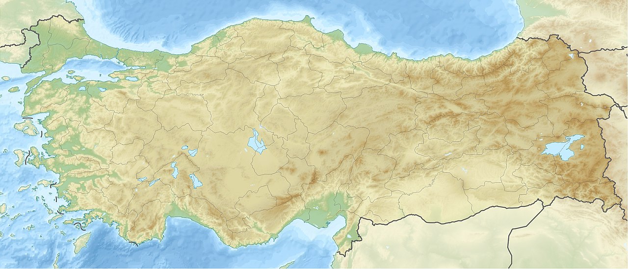
Ankara is the capital city of the Republic of Turkey, situated near the geographic heart of Anatolia. It serves as the country's administrative center and one of its largest urban areas, ranking second after Istanbul in many measures of size and importance. The city occupies a high plain at roughly 900 meters above sea level, which contributes to a continental climate with cold winters and hot, dry summers. Ankara is also the seat of Ankara Province, which includes surrounding suburbs and satellite towns.
Image gallery
8 Images


Historical overview
The site of Ankara has been settled for millennia. Archaeological and historical records show human presence through Hittite, Phrygian, Lydian, Persian, Hellenistic, Roman, Byzantine, Seljuk and Ottoman periods. Known in earlier centuries by names such as Angora, the city developed as a crossroads of inland trade routes. In 1923 the new Turkish Republic designated Ankara as its capital, a deliberate choice by Mustafa Kemal Atatürk to place the government in a more central, inland location and to symbolize a break with the Ottoman capital at Istanbul.
Character and institutions
Modern Ankara is characterized by a mix of republican-era planning and more recent urban expansion. It houses national government ministries, foreign embassies, and major cultural institutions including the State Opera and Ballet and the Presidential Symphony Orchestra. Prominent universities such as Middle East Technical University (METU) and Ankara University shape the city's intellectual life, while research institutes and hospitals add to its role as an administrative and educational hub.
Culture, landmarks, and civic life
Ankara's public spaces and monuments reflect both its ancient past and republican identity. The most significant national monument is Anıtkabir, the mausoleum of Mustafa Kemal Atatürk, set on a commanding hill and visited by citizens and foreign guests. Other notable sites include museums with archaeological and ethnographic collections, historic citadel quarters with older stone buildings, and modern cultural venues. The city supports a lively theater scene and contemporary art exhibitions that serve regional as well as national audiences.
Economy and transport
As a center of government and services, Ankara's economy relies on public administration, education, healthcare, and light industry. It is well connected by road, rail and air: the city is a node on Turkey's railway network (including high-speed links) and is served by Esenboğa Airport for domestic and international flights. Local public transit includes buses, a growing metro network and commuter rail that link the urban core with suburbs and outlying districts. Planning priorities have emphasized accessibility between government complexes, universities and residential areas.
Facts and distinctions
- Ankara's elevation and inland position influence its seasonal weather patterns.
- The city's historical name, Angora, is the origin of breed names such as Angora cat and Angora goat, associated historically with the region.
- Population figures can vary with definitions of city limits versus metropolitan province; official and statistical sources offer different counts—see statistical summaries for recent data at official statistics.
For readers seeking further orientation, municipal and national resources provide current administrative details, transport timetables and cultural calendars; archives and museums in the city document its layered history and the role it has played in modern Turkish statehood. Additional context and travel information are available through regional guides and institutional websites (nation, province, geography, comparative cities, statistics).

Etymology and name of the city
The exact etymological origin of the name Ankara is not known. Pausanias reports that King Midas found an anchor at the site and then founded the city there according to the object as Ankyra (Greek for anchor). Stephanos of Byzantium claims that the Galatians, fighting the Ptolemies from Egypt, brought back an anchor as a war trophy after their victory and perpetuated this designation in the city's name when it was founded. Coinages with an anchor motif are known. On the other hand, there are indications that the city name was already used in a similar form since the Phrygians or even the Hittites and was later changed to Ankyra by the Greeks.
Similarly, during the Islamic period of Ankara, it was theorized that the name of the city, then called Engürü, derived from the Persian word for grape (engûr), which referred to the lush vineyards around Ankara.
As of March 28, 1930, the Turkish name Ankara was also enforced for the name of the capital in dealings with Europeans in place of the form of the name Angora, which had hitherto been customary among Europeans in the Latin script and originated in modern Greek. Older Turkish forms of the name were Engüriye, Engürü, or Engüri; earlier forms of the name were Greek Ankyra, Latin Ancyra, and Arabic Anḳira and Anḳuriyya or Ḳalʿat al-Salāsil, in German "Kettenfestung".
Geography and climate
Ankara is located about 900 to 1050 meters above sea level and has a severe dry continental climate characterized by hot dry summers and cold snowy winters. The city lies south at the foot of the Köroğlu Mountains and stretches south towards the Konya Plateau. The average annual temperature is 12.6 °C. The warmest months are July and August with an average of just over 24 °C, and the coldest are January and February with temperatures just above freezing. The most precipitation falls in May with an average of 51 millimetres, the least precipitation is recorded for the months of July and August with an average of just under 15 millimetres. The annual total of precipitation is 414 mm on average, making Ankara one of the driest areas in Turkey.
In the city, two small streams named Hatip Çayı, also called Bent Deresi, and Çubuk Çayı join to form the Ankara River (Ankara Çayı), which is mostly overbuilt and heavily polluted in the city.
| Ankara, Keçiören (891 m) | ||||||||||||||||||||||||||||||||||||||||||||||||
| Climate diagram | ||||||||||||||||||||||||||||||||||||||||||||||||
| ||||||||||||||||||||||||||||||||||||||||||||||||
| Monthly average temperatures and precipitation for Ankara, Keçiören (891 m)
Source: MGM, normal period 1991-2020 | |||||||||||||||||||||||||||||||||||||||||||||||||||||||||||||||||||||||||||||||||||||||||||||||||||||||||||||||||||||||||||||||||||||||||||||||||||||||||||||||||||||||||||||||||||||||||||||||||||||||||||||||||||||||||||||||||||||||||||||

Related articles
Author
AlegsaOnline.com Ankara — capital city of Turkey Leandro Alegsa
URL: https://en.alegsaonline.com/art/4318
Sources
- fallingrain.com : Ankara, Turkey: Latitude, Longitude and Altitude