
Gulf of Guinea
A broad sea region on the tropical northeast Atlantic off West Africa, bounded by Cape Lopez and Cape Palmas; noted for major river deltas, rich fisheries, oil resources and ecological diversity.
Overview
The Gulf of Guinea is a large marine region off the coast of West Africa in the northeastern sector of the tropical Atlantic Ocean. Its approximate central coordinates lie near the intersection of the Equator and the Prime Meridian, making it one of the few ocean areas crossed by both zero degrees latitude and zero degrees longitude. The gulf stretches from Cape Lopez in Gabon on the southeastern side to Cape Palmas in Liberia on the northwest.
Image gallery
7 Images

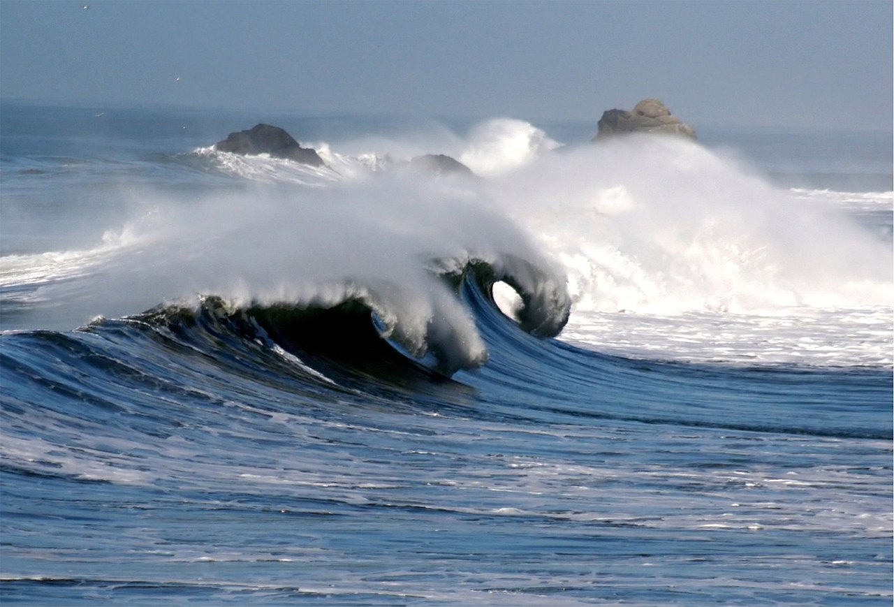


Geography and hydrography
The shoreline of the Gulf of Guinea contains broad, shallow coastal bays known as bights, including the Bight of Benin and the Bight of Bonny. Several large West African rivers discharge into the gulf, delivering sediment and freshwater that influence coastal ecosystems. Notable river systems that drain to the gulf include the Niger and the Volta, among others. Its waters are affected by tropical currents, seasonal upwelling in places, and an interplay of riverine and oceanic processes.
Ecology and natural resources
Coastal habitats in the gulf region include mangrove forests, estuaries, lagoons and continental shelf environments that support diverse fisheries and marine life. The continental shelf supplies productive fishing grounds, while offshore areas have been explored and developed for petroleum and gas reserves. These natural resources are important to the economies of the bordering states and to international shipping lanes that pass through the gulf.
Human use, history and importance
The Gulf of Guinea has long been a corridor for maritime trade and cultural exchange between West Africa and the wider Atlantic world. Historically it was central to precolonial and colonial trade networks and later to modern shipping. Coastal communities depend on fishing, aquaculture and port services, while regional energy sectors have grown around offshore hydrocarbon production.
Challenges and notable issues
Pressure from overfishing, coastal development, pollution from urban and industrial sources, and environmental risks associated with oil extraction affect many parts of the gulf. Political cooperation among littoral states, maritime safety measures and conservation efforts are recurrent topics in regional policy. The gulf's geography — with many river mouths, shallow shelves and busy ports — shapes both its opportunities and its environmental management needs.
Key facts
- Location: northeastern tropical Atlantic off West Africa with central coordinates near 0°N, 0°E.
- Geographic limits: from Cape Lopez to Cape Palmas.
- Main coastal features: Bight of Benin, Bight of Bonny.
- Major rivers draining into it include the Niger and the Volta.
- Crossed by the Equator and the Prime Meridian, representing zero degrees latitude and zero degrees longitude.
Questions and answers
Q: Where is the Gulf of Guinea located?
A: The Gulf of Guinea is off West Africa.
Q: Which ocean is the Gulf of Guinea a part of?
A: The Gulf of Guinea is in the northeast of the tropical Atlantic Ocean.
Q: Which countries mark the Gulf of Guinea's boundaries?
A: The Gulf is between Cape Lopez in Gabon, north and west to Cape Palmas in Liberia.
Q: Where is the intersection of the Equator and Prime Meridian located?
A: The intersection of the Equator and Prime Meridian (zero degrees latitude and longitude) is in the Gulf of Guinea.
Q: Which are some of the rivers that drain into the Gulf of Guinea?
A: Among the many rivers that drain into the Gulf of Guinea are the Niger and the Volta.
Q: What are some of the features on the Gulf of Guinea's coastline?
A: The coastline on the gulf includes the Bight of Benin and the Bight of Bonny.
Q: How are the Gulf of Guinea's coordinates expressed?
A: The Gulf of Guinea's coordinates are expressed as 1°0′N 4°0′E / 1.000°N 4.000°E / 1.000; 4.000.
Related articles
Author
AlegsaOnline.com Gulf of Guinea Leandro Alegsa
URL: https://en.alegsaonline.com/art/41372