
Grevenmacher District: overview, geography, administration and history
Former easternmost district of Luxembourg centered on the city of Grevenmacher; smallest district by area and population, abolished in 2015. Key geography, cantons, and historical notes.
Overview
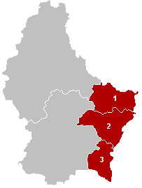
The District of Grevenmacher (Luxembourgish: Gréiwemaacher) was one of three top-level administrative divisions in the Grand Duchy of Luxembourg. Its administrative centre was the city of Grevenmacher, and it occupied the country’s eastern flank along the Moselle River. Before administrative reform in 2015 it was the smallest and least populous of Luxembourg’s districts.
Image gallery
3 Images
Geography and demographics
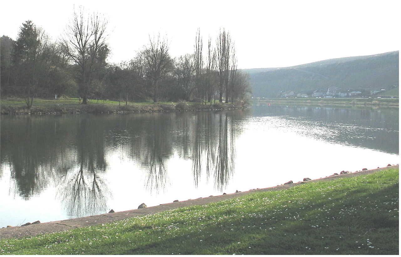
Grevenmacher was the easternmost district and covered about 525 km². It bordered Germany to the east and included both low-lying river valleys and rolling uplands. The district had roughly 65,000 inhabitants prior to its dissolution, making its population density relatively low compared with other parts of the country. The Moselle valley is a notable geographic and economic feature, with vineyards and cross-border connections shaping local life.
Administrative divisions
Districts in Luxembourg served as an intermediate layer above cantons and communes. Grevenmacher comprised three cantons: Echternach, Grevenmacher and Remich. Each canton contained several communes responsible for local services, planning and civil administration. The district structure grouped these cantons for statistical and certain administrative purposes.
History and reform
Districts in Luxembourg dated to 19th- and 20th-century administrative arrangements. In 2015 the national government abolished the district tier as part of a simplification of territorial administration, transferring responsibilities to other national and local bodies. The change meant that the former District of Grevenmacher remains primarily a historical and statistical entity rather than an active administrative unit.
Significance and notable facts
- The district was known for its viticulture along the Moselle and for cross-border commerce with Germany.
- Its capital, Grevenmacher, functions today as a municipal and cultural centre despite the district’s abolition.
- Statistical summaries and older records still reference the district; for demographic context see density measures and national reports via related sources.
For broader context about Luxembourg’s territorial units and reforms consult general references on the Grand Duchy and administrative law (national overview). The legacy of the District of Grevenmacher endures in local identity, place names and historical records.
Questions and answers
Q: What was the District of Grevenmacher?
A: The District of Grevenmacher was one of three districts of the Grand Duchy of Luxembourg.
Q: What was the capital city of the District of Grevenmacher?
A: The capital city of the District of Grevenmacher was Grevenmacher.
Q: When were the districts of Luxembourg abolished?
A: The districts of Luxembourg were abolished in 2015.
Q: Among the three districts, was the District of Grevenmacher the largest or the smallest?
A: The District of Grevenmacher was the smallest among the three districts.
Q: How large was the area of the District of Grevenmacher?
A: The area of the District of Grevenmacher was 524.8 km2 (202.6 sq mi).
Q: What was the population of the District of Grevenmacher?
A: The population of the District of Grevenmacher was 64,978 inhabitants.
Q: What was the population density of the District of Grevenmacher?
A: The population density of the District of Grevenmacher was 56.2 inhabitants/km².
Related articles
Author
AlegsaOnline.com Grevenmacher District: overview, geography, administration and history Leandro Alegsa
URL: https://en.alegsaonline.com/art/40876
Sources
- commons.wikimedia.org : Former Grevenmacher District
- statistiques.public.lu : "Population by canton and municipality 1821 - 2014"
- legilux.public.lu : "Loi du 2 septembre 2015 portant abolition des districts"
- legilux.public.lu : "Mémorial A, 1843, No. 17"
- legilux.public.lu : "Mémorial A, 2011, No. 110"
- statistiques.public.lu : "Surface area of the cantons and municipalities"