
Gmunden District — geography, history, and significance
Gmunden District in Upper Austria: the largest district in the state, known for lakes, forests, tourism, and cultural sites including Hallstatt and the town of Gmunden.
Overview
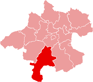
The Gmunden District (Bezirk Gmunden) is an administrative district (Bezirk) in the state of Upper Austria. Located in the Austrian Republic (Austria), it is the largest district of Upper Austria by area, covering approximately 1,433 square kilometres. The district combines mountainous terrain, extensive forests and a chain of well-known lakes that have shaped its economy and culture for centuries.
Image gallery
6 Images


Geography and natural features
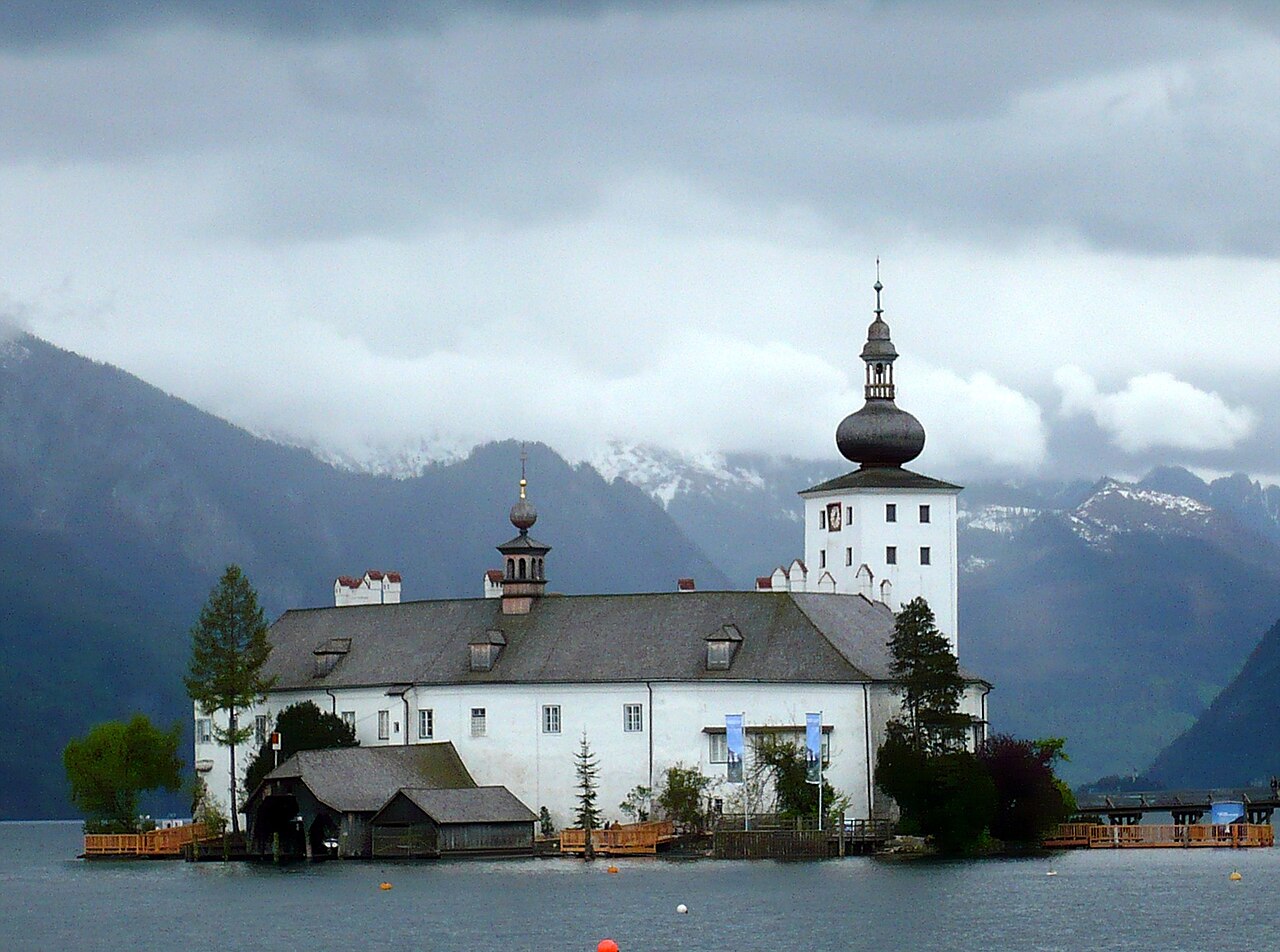
Gmunden occupies a section of the northern Alps and forms part of the traditional Salzkammergut lake district. Roughly 54% of the district's surface is forested, while about 17% is used for agriculture. Bodies of water account for around 3.8% of the area and include major lakes such as the Traunsee (Traunsee) and the Hallstätter See. Elevation ranges from lake shores and valley floors up into alpine zones; this variety supports diverse habitats and makes the district a destination for outdoor recreation.
Administrative boundaries and settlements
The administrative centre is the town of Gmunden, which serves as the district's political and economic hub. The district borders several neighbouring districts: to the north it adjoins Vöcklabruck, Wels-Land and Kirchdorf an der Krems; to the south it meets the Styrian district Liezen; and to the west it borders districts of the state of Salzburg (Salzburgerland) including Sankt Johann im Pongau, Hallein and Salzburg-Umgebung. These connections place Gmunden at a crossroads between regions and influence patterns of trade and travel.
History and cultural importance
The area now forming Gmunden District has a long human presence that includes prehistoric salt mining sites and small lake-side settlements. The nearby Hallstatt region is world-famous for archaeological finds that gave their name to the early Iron Age Hallstatt culture; these finds reflect the district's role in early European trade in salt and other goods. Over centuries the lakeside towns developed crafts, fisheries and later tourism, while inland valleys supported forestry and small-scale farming.
Economy, tourism and modern life
Today the district's economy mixes tourism, forestry, agriculture and light industry. Lakes such as the Traunsee attract boating, swimming and sightseeing visitors, while mountain trails and winter sports draw outdoor enthusiasts. Towns and villages offer cultural attractions, historic architecture and museums that interpret local history. Infrastructure links to nearby regional centres support commuting, commerce and seasonal visitor flows.
Notable distinctions and practical information
- Largest district by area in Upper Austria, known for its lakes and alpine scenery.
- High proportion of forested land, contributing to timber production and conservation values.
- Important cultural landscape within the Salzkammergut region, with archaeological and historical sites.
For more detailed administrative, visitor and historical information consult regional portals and local authorities via the district or municipal websites (Bezirk information, Gmunden town) or tourism resources for the Salzkammergut area (Salzburgerland, Upper Austria). Additional reading and maps are available from general regional references and archives (district records, neighbouring Liezen, lake guides).
Questions and answers
Q: What is the Gmunden District?
A: The Gmunden District is a district of the state of Upper Austria in Austria.
Q: How large is the Gmunden District?
A: The Gmunden District is the largest district of Upper Austria and it covers an area of 1433 square kilometres (553 square miles).
Q: Which districts share borders with Gmunden in the north?
A: The districts of Vöcklabruck, Wels-Land and Kirchdorf an der Krems share borders with Gmunden in the north.
Q: Which district shares a border with Gmunden in the south?
A: The Styrian district Liezen shares a border with Gmunden in the south.
Q: Which Salzburgerland districts share borders with Gmunden in the west?
A: The Salzburgerland districts of Sankt Johann im Pongau, Hallein and Salzburg-Umgebung share borders with Gmunden in the west.
Q: Where is the administrative center of Gmunden?
A: The administrative center of Gmunden is in the town of Gmunden.
Q: What are the major land uses in the Gmunden District?
A: The Gmunden District consists mostly of forests (54%) and 17% of the area is used for agriculture. 3.8% of the area are bodies of water, like the Traunsee or the Hallstätter See.
Related articles
Author
AlegsaOnline.com Gmunden District — geography, history, and significance Leandro Alegsa
URL: https://en.alegsaonline.com/art/39309