Glarus (city)
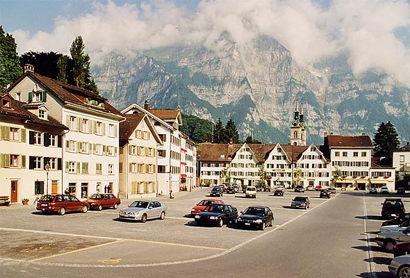
Glarus is the capital town of the Canton of Glarus in eastern Switzerland, located on the Linth River at the foot of the Glärnisch foothills. It is a regional center for administration, local industry and mountain tourism.
Glarus is the administrative center of the Canton of Glarus in Switzerland. The town lies in the valley of the Linth River and beneath the foothills of the Glärnisch massif.
Image gallery
10 Images


Overview
Glarus is a small German-speaking town that functions as the canton's political and service hub. Its position in an alpine valley has shaped settlement patterns, local transport routes, and leisure activities. The town combines municipal institutions with modest commercial and manufacturing enterprises.
Geography and environment
Set along a river corridor, Glarus is surrounded by steep slopes and mountain pastures. The valley landscape offers hiking, climbing and winter recreation in nearby highlands, while the river and valley floor contain the town's residential and industrial areas. Its setting makes it a gateway to the southern and higher parts of the canton.
History and development
Glarus has medieval roots and developed over centuries from a rural parish to a regional town. Like many settlements in the Swiss Alps, it experienced phases of agricultural life, early craft production and later industrial activity. Historical features include traditional buildings, parish churches and traces of 19th- and 20th-century industrial heritage.
Economy, culture and transport
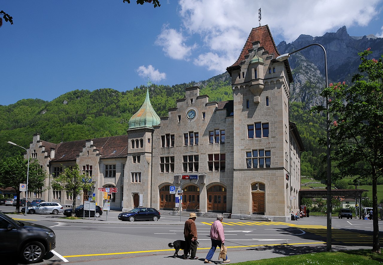
The local economy mixes public administration, small and medium enterprises, tourism-related services and light industry. Cultural life reflects alpine traditions with local festivals, museums and community events. Glarus is connected to cantonal and national transport networks, making it accessible for commuters and visitors.
Notable facts
- Capital of one of Switzerland's smaller cantons, providing regional government services.
- Located in the Linth valley at the foot of the Glärnisch foothills, offering outdoor recreation.
- Representative of Swiss alpine towns where geography, history and modern administration intersect.

Geography
Glarus lies in the geographical centre of the canton of the same name on the River Linth and at the foot of the approximately 2300 m high Vorderglärnisch. The highest point of the municipality is the 2914 m high Bächistock, which is part of the Glärnisch massif. Neighbouring municipalities are Glarus Nord, GlarusSüd and Muotathal and Innerthal (both Canton Schwyz).
Climate table
| Glarus, 1981-2010 | ||||||||||||||||||||||||||||||||||||||||||||||||
| Climate diagram | ||||||||||||||||||||||||||||||||||||||||||||||||
| ||||||||||||||||||||||||||||||||||||||||||||||||
| Monthly average temperatures and precipitation for Glarus, 1981-2010
Source: | |||||||||||||||||||||||||||||||||||||||||||||||||||||||||||||||||||||||||||||||||||||||||||||||||||||||||||||||||||||||||||||||||||||||||||||||||||||||||||||||||||||||||||||||||||||||||||||||||||||||||||||||||||||||||||||||||||||||||||||||||||||||||||||||||||||||||||

History
The place Clarona is first mentioned in writing in the 8th century in a life story of the saints Felix and Regula. The name probably goes back to a Latin base form *ad clārōnam "by the bright place", in a figurative sense "forest clearing".
Until the end of the 14th century, large parts of the Glarus land belonged to the landlordship of the Säckingen monastery, until the inhabitants bought themselves off it. In 1387 the first Landsgemeinde took place, an institution that still exists here today and is usually held on the first Sunday in May. Glarus became the main town of the Linth Valley by decision of the Landsgemeinde in 1419, as the only church in the valley stood here for a long time. From 1506 to 1516, the later reformer Ulrich Zwingli was a popular Catholic priest in Glarus. From 1522 to 1555, Valentin Tschudi was the first Protestant pastor, a moderate reformer and mediator between the two confessions. From 1555 to 1570 Fridolin Brunner followed as pastor, who had previously carried out the Reformation in several Glarus villages.
During the Helvetic period (1798-1803) Glarus was the capital of the Canton of Linth.
In 1861, a devastating fire raged through the town, destroying large parts of it. Only a few buildings from the time before the fire remained in the townscape. Reconstruction took place very quickly according to an urban plan based on a rectangular grid. This type of urban planning, known mainly from the United States, was chosen to prevent further conflagrations of this kind.
Related articles
Author
AlegsaOnline.com Glarus (city) Leandro Alegsa
URL: https://en.alegsaonline.com/art/39104
Sources
- bfs.admin.ch : "Arealstatistik Standard - Gemeinden nach 4 Hauptbereichen"
- bfs.admin.ch : "Ständige Wohnbevölkerung nach Staatsangehörigkeitskategorie Geschlecht und Gemeinde; Provisorische Jahresergebnisse; 2018"
- bfs.admin.ch : Amtliches Gemeindeverzeichnis der Schweiz