
Giza, Egypt: city and ancient necropolis
Giza is a city on the Nile’s west bank near Cairo, best known for the Giza Plateau with the Great Pyramid, the Sphinx and other ancient monuments; a major site for archaeology and tourism.

Overview
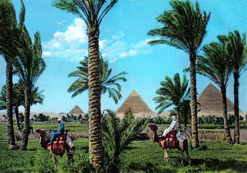
Giza is a major Egyptian city located immediately west of central Cairo on the Nile's west bank. Administratively it serves as the capital of the Al Jizah (Giza) Governorate and forms part of the greater Cairo metropolitan area. Its modern urban fabric coexists with one of the world’s most famous archaeological landscapes: the Giza Plateau, where several of the largest and best-known monuments of ancient Egypt are found.
Image gallery
10 Images




Geography and administration
The city lies along the floodplain of the Nile and functions as both a residential and commercial hub for the surrounding governorate. In everyday usage the name "Giza" may refer to the contemporary city, the governorate, or the plateau just outside the urban core. Local usage and historical references often use Arabic and dialectal forms; see the Arabic name and the transliteration, and how it appears in the Cairo dialect of Egyptian Arabic.
Giza Plateau and monuments
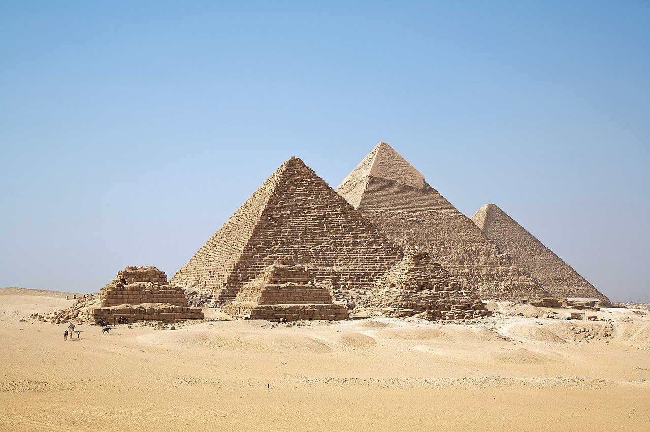
The Giza Plateau is the most internationally recognized part of Giza. It contains a royal necropolis from the Fourth Dynasty of the Old Kingdom and several monumental constructions that include:
- The Great Pyramid (the Pyramid of Khufu), the largest of the group and one of the ancient Seven Wonders.
- The Pyramid of Khafre, which appears taller because it sits on higher ground and retains some original casing near its apex.
- The Pyramid of Menkaure, smaller but architecturally significant for its complex subsidiary structures.
- The Great Sphinx, a large limestone statue with a recumbent lion’s body and a human head, associated with royal funerary practices.
These monuments are accompanied by a network of temples, causeways, worker cemeteries and smaller tombs that together form an extensive mortuary complex. For concise summaries and maps see resources on the plateau in English and Arabic via alternative spellings and regional studies at local authorities.
History and development
The necropolis at Giza dates to the early Old Kingdom (c. 26th century BCE). Over millennia the plateau remained a potent symbol of pharaonic power and, later, a subject of study and antiquarian interest from the classical period through modern archaeological practice. The surrounding town grew in the 19th and 20th centuries as Cairo expanded westward; today Giza is integrated with Cairo’s urban area and its economy and infrastructure are tied to the capital. Visitors and researchers often consult museum collections, records, and archaeological reports found at national institutions and libraries linked from regional portals such as heritage pages and international archives at scholarly sites.
Tourism, importance and notable facts
Giza is a major tourism destination. Millions of visitors come to view the pyramids, enter selected chambers, and photograph the Sphinx. The plateau forms part of the UNESCO World Heritage site often referred to collectively as "Memphis and its Necropolis"; official materials and visitor guidance can be found via heritage listings and visitor information portals such as tourism pages. In the late 19th century the Great Pyramid was even proposed as a marker for a global prime meridian in debates recorded in contemporary journals—an example of the pyramid’s symbolic reach in modern thought; see discussions preserved in historic accounts at historical records and reviews at scholarly summaries.
Further reading and practical notes
Giza continues to be the focus of conservation, archaeological research and urban management challenges. Practical visitor advice, conservation reports and current excavations are reported by governmental, academic and museum organizations; more detailed resources and bibliographies are available via institutional portals such as research libraries, international conservation networks at conservation groups, and public outreach at educational sites.
Questions and answers
Q: What is Giza?
A: Giza is a town in Egypt located on the west bank of the Nile river, about 20 km southwest of central Cairo. It is part of the greater Cairo metropolis and is the capital of the Al Jizah Governorate.
Q: Where is Giza located?
A: Giza is located near the northeast border of its governorate in coordinates 29°59′00″N, 31°08′00″E, right on the banks of the Nile River.
Q: How many people live in Giza?
A: In 1998, there were 4,779,000 people living in Giza.
Q: What makes Giza famous?
A: Giza is known for being home to the impressive ancient monuments on the Giza Plateau. These include the Great Sphinx, Great Pyramid of Giza and other large pyramids and temples.
Q: What was once advocated as a reference point for determining base longitude?
A: The Great Pyramid of Giza was once advocated (1884) as a location for determining a base longitude known as Prime Meridian.
Related articles
Author
AlegsaOnline.com Giza, Egypt: city and ancient necropolis Leandro Alegsa
URL: https://en.alegsaonline.com/art/39057
Sources
- muweb.millersville.edu : muweb.millersville.edu