
Freedom Trail (Boston): route, sites, history and visiting guide
A 2.5-mile marked walking route in Boston linking 16 historic sites from Boston Common to the USS Constitution; overview, key stops, history, significance, and visitor notes.
The Freedom Trail is a marked pedestrian route in Boston that connects a sequence of sites important to American history. The route is about 2.5 miles (4.0 km) long and runs from the central green at Boston Common to the USS Constitution in the Charlestown Navy Yard. Its surface identification—usually a continuous red line of bricks or paint—helps visitors follow the sequence of locations that together tell stories of colonial life, the Revolution, early government and maritime heritage.
Image gallery
10 Images


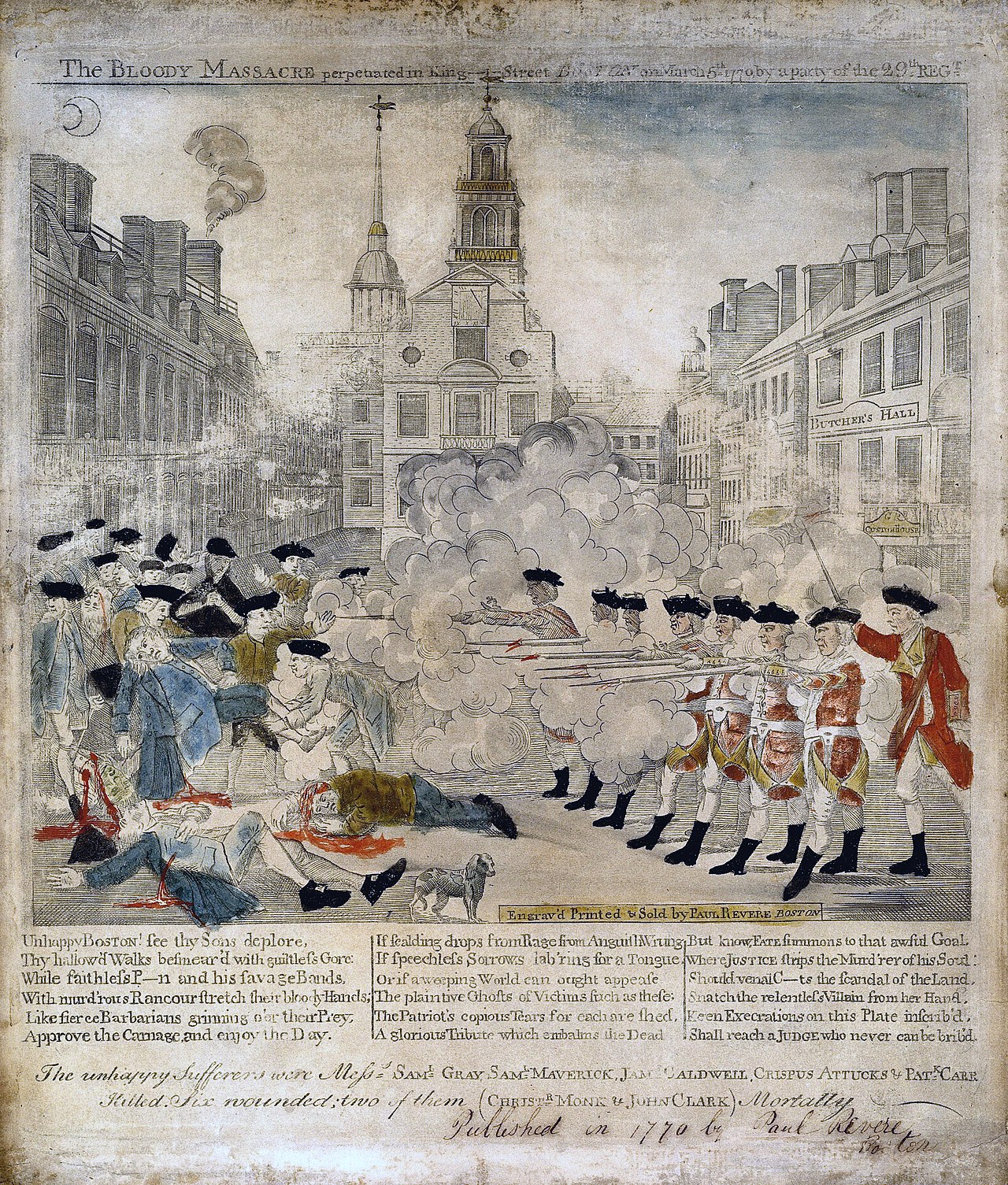
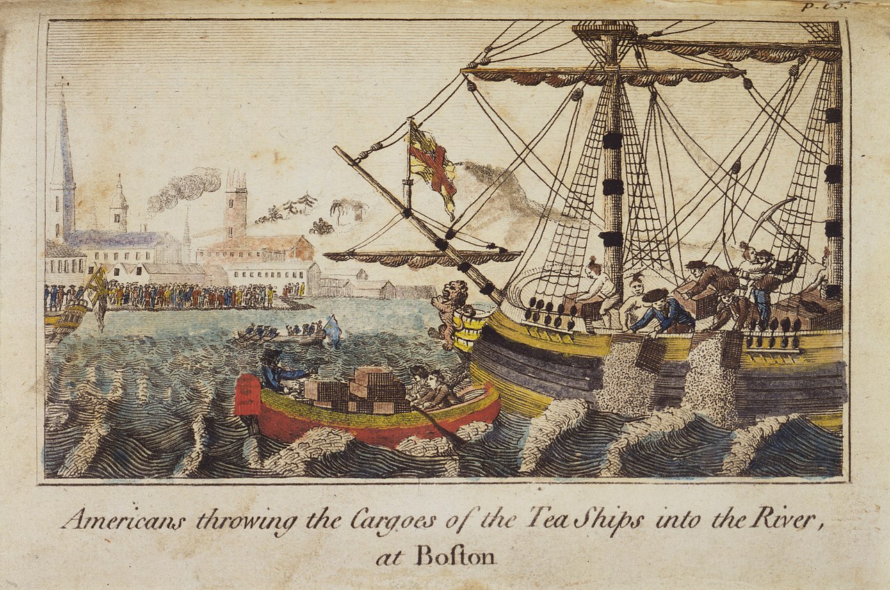

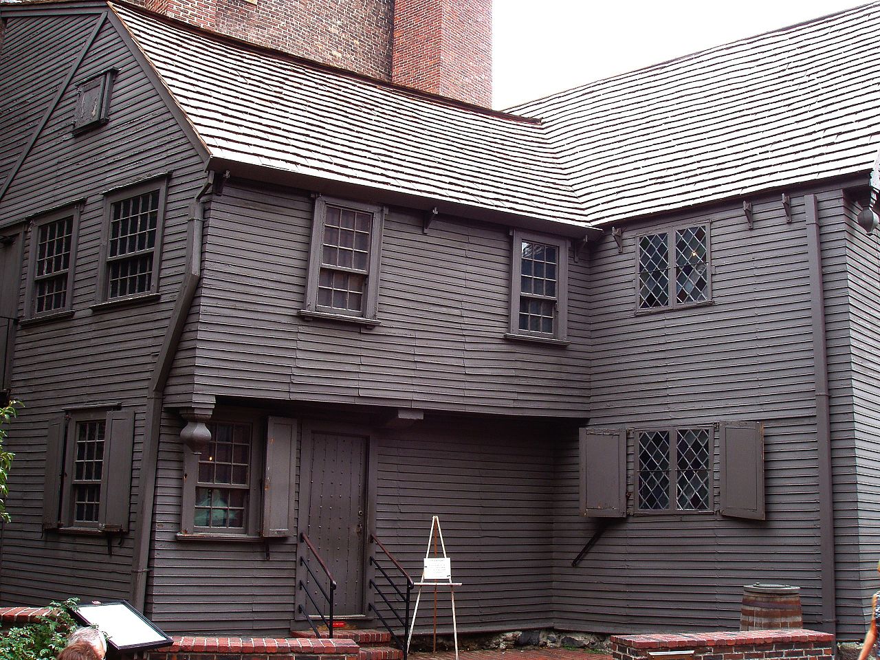

Route and notable sites
The Trail links sixteen primary sites, many clustered along historic streets and public squares. Examples of well known stops include the Massachusetts State House, the Granary Burying Ground, the Old State House, Faneuil Hall, the Paul Revere House and the Old North Church. The precise list of sites and their order is part of the Trail’s interpretive program; the route begins at Boston Common and concludes at the USS Constitution in the Charlestown Navy Yard. For official visitor information see the Freedom Trail resources.
Origins and development
The idea of a single, walkable path that links disparate historical properties took shape in the mid‑20th century as civic leaders and preservationists sought ways to make the city’s Revolutionary-era landmarks easier to navigate for residents and tourists. Over time municipal agencies, historic societies and nonprofit organizations have worked to preserve the sites, install signage and provide guided programs that explain their historical context.
Visiting and interpretation
People experience the Trail in different ways: self-guided walks using maps and plaques, audio guides, or organized guided tours offered by volunteers and licensed guides. Interpretive signage explains the role of each location in colonial politics, everyday life, religious history and military events. The Trail is accessible year‑round, though some individual sites have seasonal hours and separate admission policies.
Significance and distinctions
The Freedom Trail is valued as an educational corridor that concentrates many of Boston’s nationally significant landmarks into a single, walkable itinerary. It also intersects with other interpretive routes: for example, the Boston Black Heritage Trail crosses the Freedom Trail between the Massachusetts State House and Park Street Church, highlighting African American history in the city. Stewardship involves a mix of public agencies and community organizations to balance preservation, tourism and local use.
Practical notes
- Plan for several hours to see many sites; individual buildings may have separate entry fees or limited capacity.
- Wear comfortable shoes and check seasonal schedules; some historic interiors close for conservation or events.
- For updates, maps and official guidance consult the city and Trail information portals (see official Trail page and regional visitor centers).
The Freedom Trail remains a widely used introduction to Boston’s colonial and Revolutionary past, offering layered stories that range from civic and religious life to maritime and military history. Whether as a single walk or a topic for repeated visits, it frames many of the city’s best-known landmarks into a coherent, walkable narrative about America’s early development.
Massachusetts visitors often combine the Trail with other historic districts and museum visits to gain fuller context for the events and people commemorated along the route.
Questions and answers
Q: What is the Freedom Trail?
A: The Freedom Trail is a walking trail through Boston, Massachusetts that passes by 16 places that are important to American history.
Q: How long is the Freedom Trail?
A: The Freedom Trail is 2.5 miles (4.0 km) long.
Q: Where does the Freedom Trail start and end?
A: The Freedom Trail starts at the Boston Common and ends at the USS Constitution in the Charlestown Navy Yard.
Q: Does anything else cross the Freedom Trail?
A: Yes, The Black Heritage Trail crosses the Freedom Trail between the Massachusetts State House and Park Street Church.
Q: What type of places can be found on the Freedom Trail?
A: Places that are important to American history can be found on the Freedom Traiil.
Q: Is there an admission fee for visiting sites along the trail?
A: No, there is no admission fee for visiting sites along the trail.
Related articles
Author
AlegsaOnline.com Freedom Trail (Boston): route, sites, history and visiting guide Leandro Alegsa
URL: https://en.alegsaonline.com/art/36505
Sources
- openlibrary.org : Building a New Boston: Politics and Urban Renewal, 1950-1970
- cityofboston.gov : "Freedom Trail"
- thefreedomtrail.org : "Boston Common"
- cityofboston.gov : "Boston Common"
- thefreedomtrail.org : "Massachusetts State House"
- cityofboston.gov : "Park Street Church"
- cityofboston.gov : "Granary Burying Ground"
- cityofboston.gov : "King's Chapel and Burying Ground"
- britannica.com : "Boston Latin School"
- thefreedomtrail.org : "Benjamin Franklin Statue and Boston Latin School"
- thefreedomtrail.org : "Old Corner Bookstore"
- nps.gov : "Old South Meeting House"
- thefreedomtrail.org : "Old State House"
- amazon.com : B0006WKXMW
- worldcat.org : 66392877