
Fort Riley, Kansas — U.S. Army installation and military reservation
Fort Riley is a major United States Army post in north-central Kansas along the Kansas River. It combines active training, historical sites, housing, and community ties to nearby Junction City and Manhattan.
Fort Riley is a long‑established United States Army post located in north‑central Kansas. The installation occupies a large military reservation along the Kansas River, between the cities of Junction City and Manhattan. The fort supports training, unit garrisoning, and family housing while preserving a number of historic buildings and museums.
Image gallery
10 Images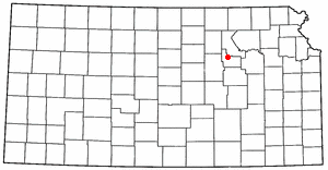




Location and layout
The Fort Riley Military Reservation covers about 101,733 acres (41,170 ha) and spans portions of Geary County and Riley County. A developed residential area on the reservation is enumerated as the Fort Riley census‑designated place (CDP), which reported a population of 7,761 at the 2010 census. On any given weekday the installation and its nearby activities create a daytime population approaching 25,000, reflecting soldiers, civilian employees and family members (daytime population).
Functions and units
Fort Riley serves as a multifunctional post. As an active United States Army installation it hosts maneuver brigades, support commands and training formations. The post provides ranges, maneuver areas and support facilities used for collective training, pre‑deployment preparation and sustainment of combat readiness. Housing, schools and medical services on base support military families and civilian employees.
History and preservation
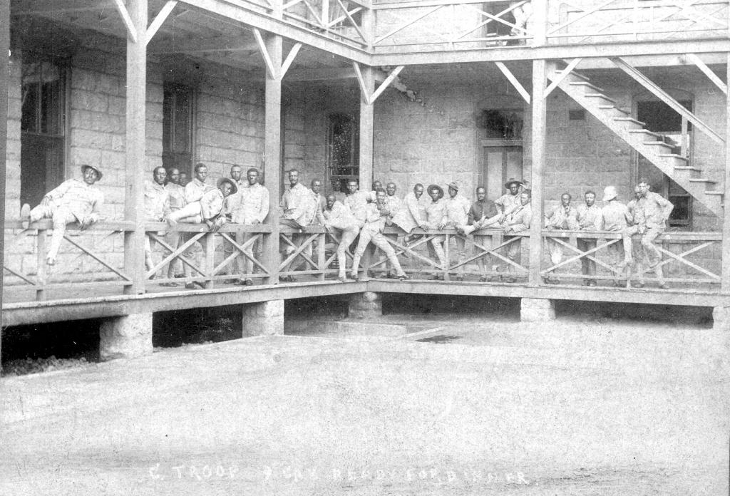
Founded in the mid‑19th century as a frontier military post, Fort Riley played roles in westward expansion, cavalry development and later mechanized force training. Over time the installation adapted from horse cavalry to modern armored and infantry organizations. The post retains historic districts and interpretive sites that document its 19th‑ and early‑20th‑century heritage, including preserved barracks, officer quarters and museums interpreting cavalry and frontier history.
Community and regional importance
Fort Riley is an economic and social anchor for the surrounding region. Its personnel and families support commerce, education and services in Junction City, Manhattan and nearby towns. The ZIP code assigned to Fort Riley is 66442. The post’s relationship with local governments, universities and businesses underscores its long‑term role in central Kansas.
Quick facts
- Installation type: Active U.S. Army post (more)
- Location: North‑central Kansas, on the Kansas River
- Area: ~101,733 acres spanning Geary County and Riley County
- Census: Fort Riley CDP population (2010) — 7,761 (2010 census)
- Daytime population and personnel activity: approximately 25,000
For readers seeking official details about units, visiting hours, or cultural resources, consult the installation’s public information and historical offices through their official channels (U.S. Army links and local government partners).
Questions and answers
Q: What is Fort Riley?
A: Fort Riley is a United States Army installation located in North Central Kansas.
Q: Where is Fort Riley located?
A: Fort Riley is located on the Kansas River between Junction City and Manhattan.
Q: How many acres does the Fort Riley Military Reservation cover?
A: The Fort Riley Military Reservation covers 101,733 acres (41,170 ha) in Geary and Riley counties.
Q: How many people lived in the housing development of Fort Riley in 2010?
A: In 2010, 7,761 people lived in the part of the fort that has housing development.
Q: What is the daytime population of Fort Riley?
A: The fort has a daytime population of nearly 25,000.
Q: What is the ZIP Code for Fort Riley?
A: The ZIP Code for Fort Riley is 66442.
Q: Which counties does Fort Riley cover?
A: Fort Riley covers Geary and Riley counties.
Related articles
Author
AlegsaOnline.com Fort Riley, Kansas — U.S. Army installation and military reservation Leandro Alegsa
URL: https://en.alegsaonline.com/art/35773
Sources
- riley.army.mil : "Fort Riley Military Value Analysis Data; June 2014"
- factfinder2.census.gov : "Geographic Identifiers: 2010 Demographic Profile Data (G001): Fort Riley CDP, Kansas"
- riley.army.mil : "1st Infantry Division"
- riley.army.mil : "Garrison Command"