
Dovrefjell: mountain range, national park, and cultural landmark in central Norway
Dovrefjell is a central Norwegian mountain range and protected area known for high plateaus, Snøhetta peak, alpine flora and fauna (including musk ox), and links to transport and national heritage.
Overview
Dovrefjell is a distinctive mountain range in central Norway that forms a natural divide between the southern lowlands and the Trøndelag region to the north. Its landscape combines broad, high plateaus and sharper summits. The area is valued for its scenic qualities, ecological variety and role as a travel corridor across the spine of the country.
Image gallery
4 Images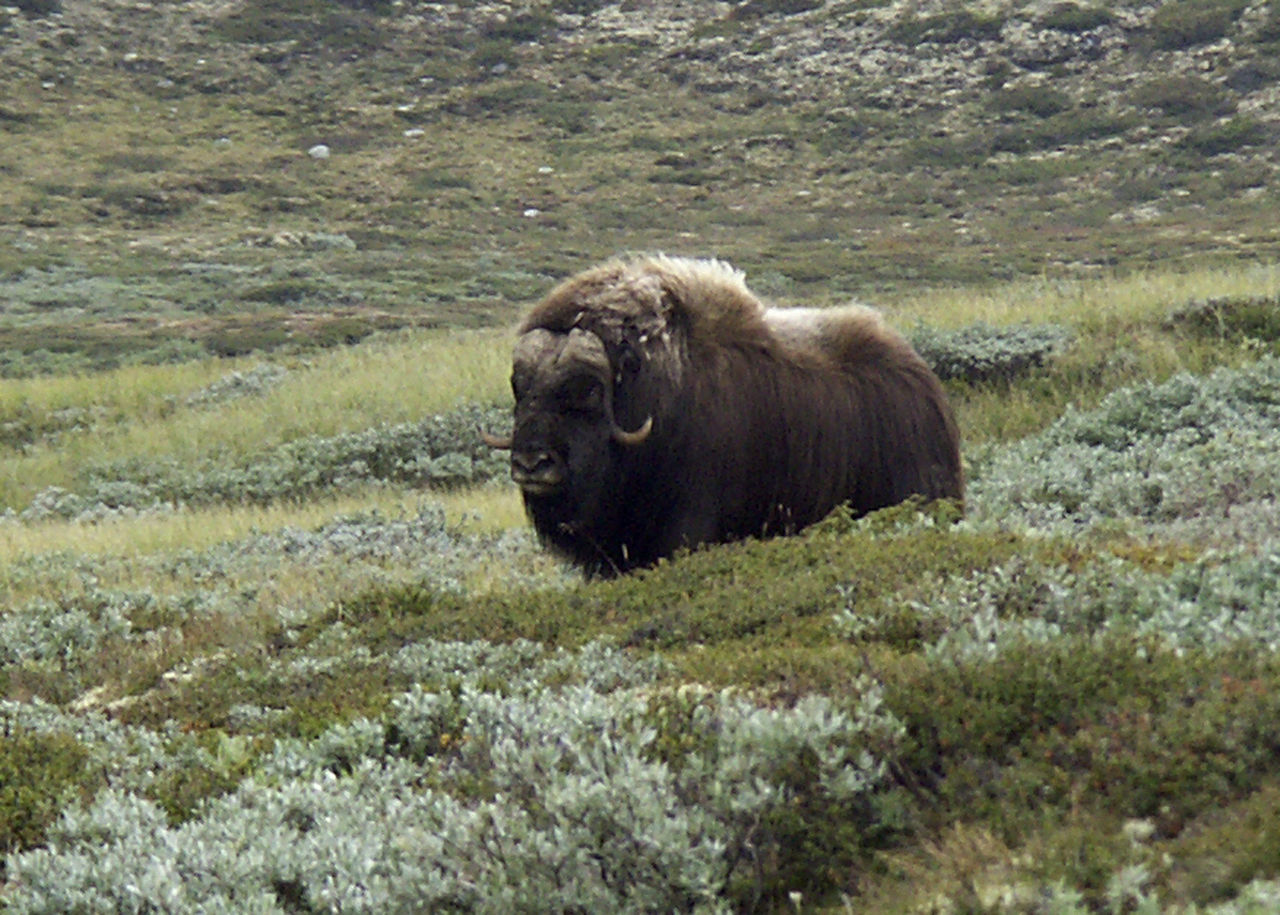


Geography and natural characteristics
The highest summit in the range is Snøhetta, rising to about 2,286 metres above sea level. The terrain consists of ancient, weathered bedrock sculpted by successive ice ages, producing tundra-like plateaus, steep ridges and mountain passes. Vegetation is typically alpine and subalpine: hardy grasses, dwarf shrubs, mosses and lichens dominate, with specialised flowering plants appearing in short summer seasons.
Flora, fauna and conservation
Dovrefjell supports several species adapted to cold, open mountain environments. Wild reindeer are among the most visible mammals, and the area is notable for populations of ptarmigan and birds of prey such as golden eagles. A small herd of musk oxen, managed under conservation arrangements, is a well-known feature of the Dovrefjell fauna. To protect these communities and the broad landscape, Norway first established a national park in the region in 1974; that protected area was later expanded and reorganised to include a larger portion of the range in 2002 as a national park.
History, past use and notable sites
Human use of Dovrefjell has ranged from traditional reindeer herding and seasonal grazing to mining and transport. Historical records indicate small-scale mining activity on and around the mountains; some operations ceased centuries ago, and a legacy of early industrial activity is sometimes mentioned in local histories, including references to former gold exploration on Snøhetta and neighbouring areas (historical mining). The long human presence has left archaeological traces along old mountain tracks and at summer farm sites.
Access, transport and recreation
Major north–south transport routes cross the range: the European highway E6 passes over Dovrefjell and is typically kept open year‑round though short winter closures can occur during heavy snowfall. The principal railway, the Dovre Line (Dovrebanen), has linked southern and central Norway through the mountains since the early 20th century, with full operation established in 1921. Visitors come for hiking, skiing, wildlife watching and scientific study; trails and marked routes are maintained in many parts of the park to balance recreation with conservation.
Significance and notable facts
- Snøhetta is the range's highest point and a popular objective for experienced hikers.
- The area is protected under national park legislation since 1974, with a substantial expansion formalised in 2002 to cover a larger landscape and important habitats (protection).
- Dovrefjell figures in Norwegian cultural memory; phrases such as "til Dovre faller" (until the Dovre mountains fall) reflect its symbolic status in national history.
- Transportation across the range includes both the E6 highway and the Dovre Line railway, forming critical links between regions and enabling tourism and local economies (routes).
Dovrefjell remains an area where geology, climate and cultural history meet: it is simultaneously a working landscape, a protected environment and a symbol of Norway's mountainous heartland. For practical information on visiting, conservation rules and guided services consult official park information and local authorities before travel.
Questions and answers
Q: What is Dovrefjell?
A: Dovrefjell is a mountain range that acts as a natural barrier between Southern Norway and the Trøndelag region.
Q: Why was a national park established in Dovrefjell?
A: The Norwegian government established a national park measuring 256 square kilometers in Dovrefjell in 1974 to protect its beautiful nature and the rich plant and animal life.
Q: Has the size of the national park in Dovrefjell changed?
A: Yes, the size of the national park in Dovrefjell has changed. In 2002, it was increased to 1693 square kilometers to cover a larger portion of the mountain range.
Q: What is the highest mountain peak in Dovrefjell?
A: The highest mountain peak in Dovrefjell is Snøhetta, which is 2,286 meters above sea level.
Q: Was there once a gold mine on the mountain?
A: Yes, there was once a gold mine on the mountain, but it closed at the end of the 17th century.
Q: Does the highway in Norway go over Dovrefjell?
A: Yes, the main south-north highway (European route E6) in Norway travels over Dovrefjell.
Q: Is the railway line in Dovrefjell named Donvrebene?
A: Yes, the railway line in Dovrefjell is named Donvrebane and it began operating in 1921.
Related articles
Author
AlegsaOnline.com Dovrefjell: mountain range, national park, and cultural landmark in central Norway Leandro Alegsa
URL: https://en.alegsaonline.com/art/28755