
Allier (river) — central French tributary of the Loire
The Allier is a major river in central France, rising in the Massif Central and flowing north to join the Loire; it shaped local history, ecology and gave its name to the Allier department.
Overview
The Allier is a river in central France whose valley links upland plateaus of the Massif Central with the Loire basin. Its course and character have been described in geographic references; see its coordinates for location. In regional languages the river is known by other names, including the Occitan Alèir. The Allier runs through the heart of central France, carrying water and sediment from higher ground into the Loire system.
Image gallery
10 Images
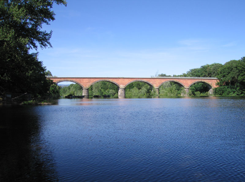

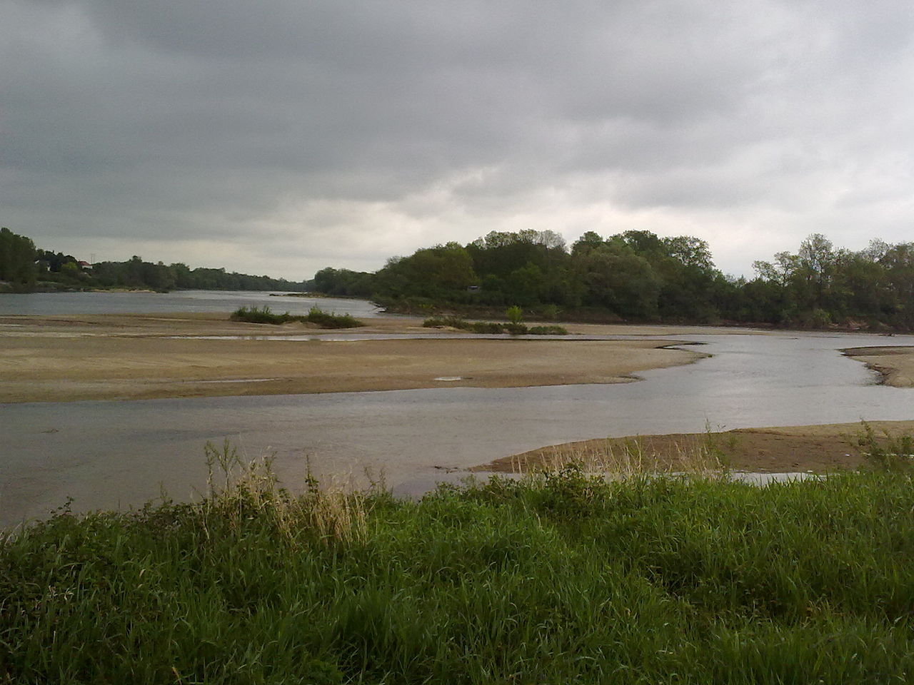

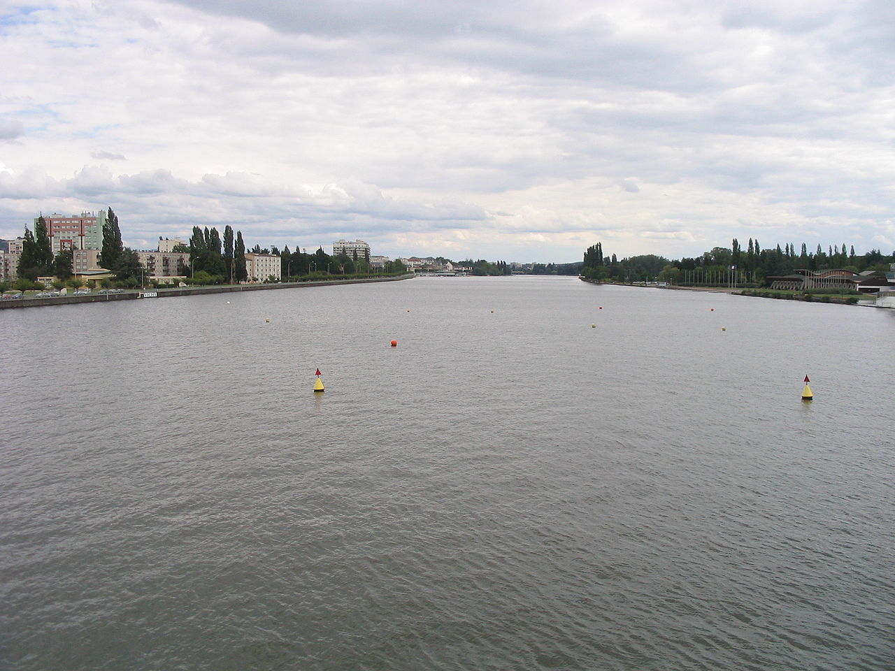


Course and physical characteristics
Rising in upland terrain, the Allier generally flows northward and is one of the Loire’s principal left-bank tributaries; it is described as a left tributary of the Loire River. Its profile alternates between confined mountain reaches and broader alluvial valleys, with gravel beds that support a dynamic river morphology. The river’s character changes along its length as it collects water from numerous smaller streams and drains a variety of landscapes.
Regions, departments and towns
The Allier traverses multiple administrative regions and departments of France and has been important to the settlements along its banks. It flows through several regions and gives its name to the département of Allier, which is itself referenced in administrative sources by the link Allier department. Notable towns and spa towns have developed on its banks, where the river provided water, transport corridors and sites for mills and later industry.
History and cultural significance
The Allier has a long history of human use. In antiquity it was known to Romans by the name Elaver, and successive societies have used the river for fishing, local navigation, and powering mills. Riverside landscapes and historic bridges contribute to the cultural identity of the departments it crosses, and the river appears in local place names and administrative histories.
Uses, ecology and conservation
Today the Allier supports agriculture, recreation and biodiversity. Its gravel bars and side channels are important habitats for fish and aquatic invertebrates; conservation efforts focus on maintaining natural flows, improving connectivity for migrating fish and protecting riparian zones. Hydropower installations and water management structures exist in places, balanced by projects to preserve the river’s relatively natural stretches.
Notable facts
- The Allier is a significant tributary of the Loire and has shaped central French landscapes.
- It lent its name to the département of Allier and appears in historical records under older names.
- Modern management balances human uses with ecological restoration to sustain native river habitats.
Questions and answers
Q: What are the coordinates of the Allier river?
A: The coordinates of the Allier river are 46°57′33″N 3°04′46″E.
Q: What is the Allier river?
A: The Allier river is a left tributary of the Loire River located in central France.
Q: What is the name of the department named after the Allier river?
A: The department named after the Allier river is the Allier department.
Q: In what regions does the Allier river flow through?
A: The Allier river flows through several regions in France.
Q: What was the name of the Allier river during Ancient Rome?
A: During Ancient Rome, the Allier river was named Elaver.
Q: Is the Allier river the main branch of the Loire River?
A: No, the Allier river is a left tributary of the Loire River.
Q: What is the Occitan name for the Allier river?
A: The Occitan name for the Allier river is Alèir.
Related articles
Author
AlegsaOnline.com Allier (river) — central French tributary of the Loire Leandro Alegsa
URL: https://en.alegsaonline.com/art/2828
Sources
- services.sandre.eaufrance.fr : "l'Allier (K---0080)"
- hydro.eaufrance.fr : "L'Allier à Cuffy [Pont du Guétin]"
- geoportail.gouv.fr : "Source de l'Allier"
- geoportail.gouv.fr : "Confluence de l'Allier"
- services.sandre.eaufrance.fr : "Fiche cours d'eau: Le Chapeauroux (K21-0300)"
- services.sandre.eaufrance.fr : "Fiche cours d'eau: l'Ance (K22-030A)"
- services.sandre.eaufrance.fr : "Fiche cours d'eau: l'Alagnon (K25-0300)"
- services.sandre.eaufrance.fr : "Fiche cours d'eau: la Couze Pavin (K265400A)"
- services.sandre.eaufrance.fr : "Fiche cours d'eau: la Morge (K27-0300)"
- services.sandre.eaufrance.fr : "Fiche cours d'eau: l'Andelot (K31-030A)"
- services.sandre.eaufrance.fr : "Fiche cours d'eau: la Sioule (K3--0200)"
- services.sandre.eaufrance.fr : "Fiche cours d'eau: la Senouire (K23-0300)"
- services.sandre.eaufrance.fr : "Fiche cours d'eau: la Dore (K2--0190)"
- services.sandre.eaufrance.fr : "Fiche cours d'eau: le Sichon (K30-0310)"