
Allgäu Alps: geography, geology and outdoor recreation
Mountain range in the Northern Limestone Alps spanning Bavaria (Germany) and Tyrol and Vorarlberg (Austria). Known for limestone ridges, grassy faces, high precipitation and popular hiking and skiing.
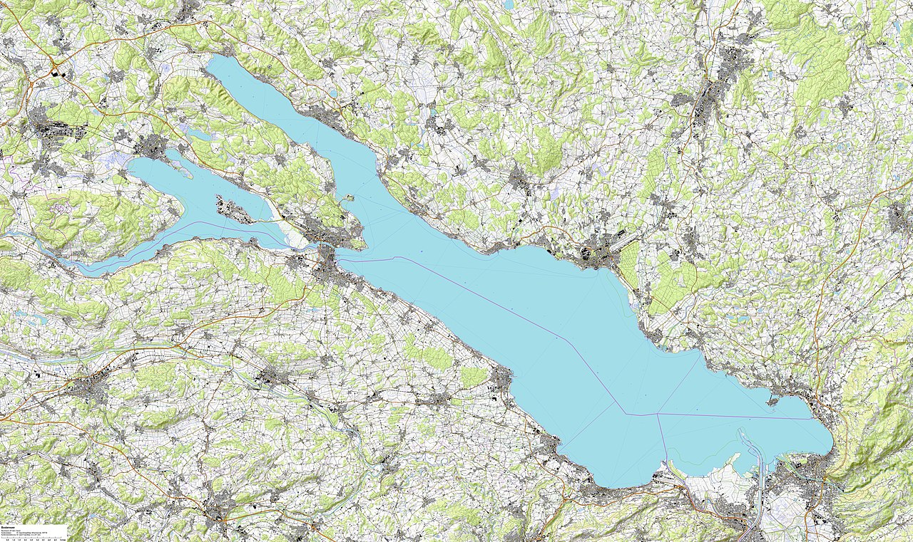
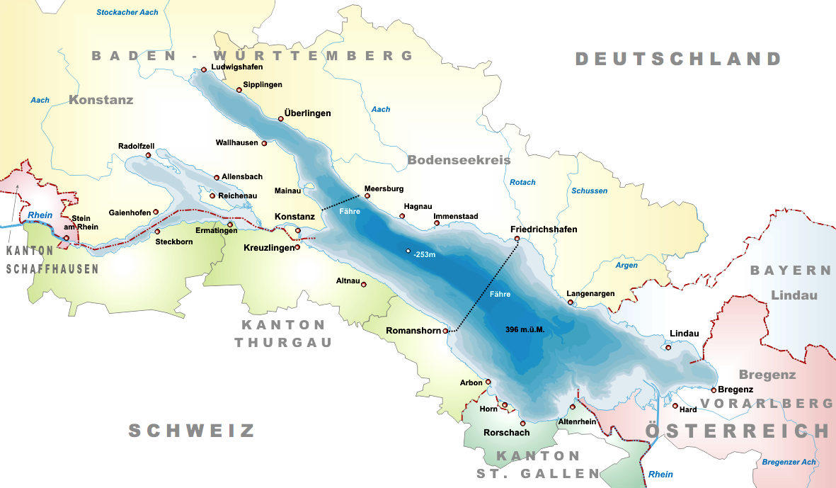
The Allgäu Alps are a subrange of the Northern Limestone Alps that straddle the border between southern Germany and western Austria. They lie primarily in Bavaria and are also found in the Austrian regions of Tyrol and Vorarlberg, with the wider area considered part of Austria and Germany. The chain rises to the east of Lake Constance and forms a familiar alpine skyline for travellers approaching from the lake and the surrounding valleys.
Image gallery
10 Images





Geography and notable peaks
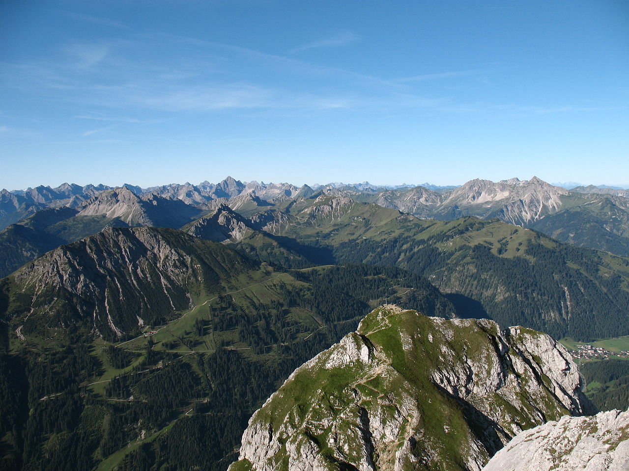
The range is dissected by several rivers; the Iller is a principal drainage that divides the massif into western and eastern sectors. Higher summits concentrate east of the Iller, while elevations on the western side tend to be lower, generally not exceeding about 2,200 metres. The highest summit in the Allgäu Alps is the Großer Krottenkopf (about 2,656 m), and many peaks present a mix of steep rock faces and broad grassy flanks that are characteristic of this region.
Geology, landscape and climate
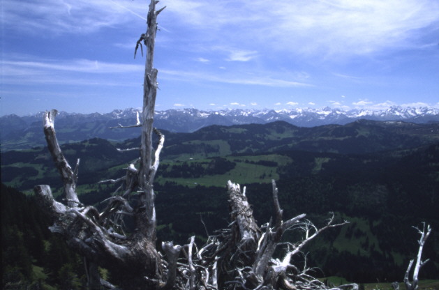
Composed mainly of Triassic limestone and dolomite, the Allgäu Alps display the classic karst features of the Northern Limestone Alps: sharp ridges, rocky towers and deeply incised gullies. In the southern portions the terrain can take on a more rugged, Dolomite-like appearance with dramatic clefts and scree-filled couloirs, while northern faces often form gentler, grassy slopes. The region receives relatively high precipitation; some areas are among the wetter parts of Germany, which supports lush montane meadows but limits the development of large glaciers. Permanent snowfields exist in sheltered cirques, yet true glaciation is minimal or absent in most sectors (glaciers).
Ecologically the Allgäu Alps host a mosaic of habitats: mixed montane forests at lower elevations, species-rich alpine pastures, and rocky high-alpine zones. These environments support a wide variety of plants and fauna adapted to limestone soils and the local climate.
Human use, recreation and culture
For centuries the mountains have been used for seasonal grazing and dairy farming; the distinctive high-alpine pastures and shepherding culture remain visible in local architecture and cuisine. Today the Allgäu Alps are a popular destination for outdoor recreation. Well-developed trail networks and alpine huts make the area accessible for walking and scrambling, and classic activities include hiking and mountaineering. In winter many valleys and slopes are used for alpine and Nordic skiing, and towns at the mountain feet serve as bases for tourists and sports enthusiasts.
- Location: Eastern shore of Lake Constance region extending into Bavaria and western Austria (Lake Constance, Bavaria, Tyrol, Vorarlberg).
- Composition: Predominantly limestone and dolomite, creating karst landscapes and steep cliffs (Dolomite-like features).
- Water and climate: High rainfall in places; significant snow cover seasonally but few true glaciers (rain and precipitation, glaciers).
- Recreation: Walking, climbing, hut-to-hut routes, and winter sports (hiking, skiing).
Conservation and visitor management are ongoing concerns: balancing traditional land use and habitat protection with growing tourism remains a priority for local authorities and conservation groups. Information and services for visitors—maps, maintained trails and public huts—are widely available from local tourist boards and alpine clubs (Germany and Austria). Whether approached from the valleys for a day hike or explored on longer routes, the Allgäu Alps offer a varied and approachable section of the Northern Limestone Alps that highlights both gentle grassy pastures and striking rocky anatomy, appealing to a broad range of outdoor interests.
Bavaria, Tyrol, Vorarlberg, Austria, Lake Constance, rain, glaciers, Dolomites, hiking, skiing
Questions and answers
Q: Where are the Allgäu Alps located?
A: The Allgäu Alps are located in Bavaria in Germany, and Tyrol and Vorarlberg in Austria.
Q: What is the geographical location of the Allgäu Alps in relation to Lake Constance?
A: The Allgäu Alps are directly east of Lake Constance.
Q: Do the Allgäu Alps have glaciers?
A: No, the Allgäu Alps do not have glaciers, but there are some permanent snowfields.
Q: What is the main river that splits the mountains in half?
A: The main river in the region is the Iller, which splits the mountains in half.
Q: Are all the high peaks on the east of the Iller?
A: Yes, all the high peaks are on the east of the Iller. On the west they are usually not taller than 2200m.
Q: What kind of mountains are in the Allgäu Alps?
A: Most mountains in the Allgäu Alps have grassy faces on one side, and sheer cliffs on the other. Further south the mountains begin to look Dolomite, as they have crevices and gullies.
Q: What kind of activities occur in the Allgäu Alps?
A: Many activities occur in the Allgäu Alps, including hiking and skiing.
Related articles
Author
AlegsaOnline.com Allgäu Alps: geography, geology and outdoor recreation Leandro Alegsa
URL: https://en.alegsaonline.com/art/2812
Sources
- summitpost.org : "Allgäu Alps"