
Dnieper River: course, history, economy and ecology
Major Eastern European river flowing from Russia through Belarus and Ukraine to the Black Sea; important for navigation, hydroelectricity, and regional history.
The Dnieper is one of Europe's principal rivers, forming a long north–south artery across Eastern Europe. Historically known to the Greeks as Borysthenes, the river has shaped settlement, transport and economies along its banks for millennia. It remains a key natural feature of the region in physical, cultural and economic terms.
Image gallery
10 Images




Course and physical characteristics
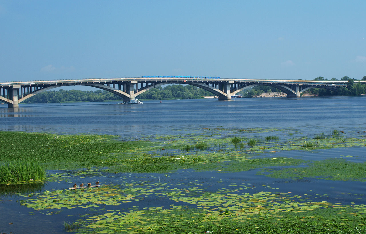
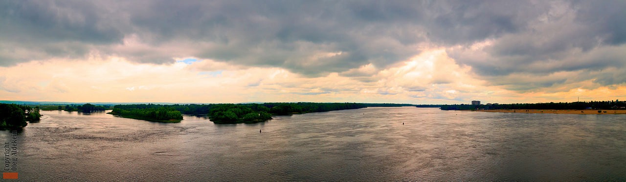
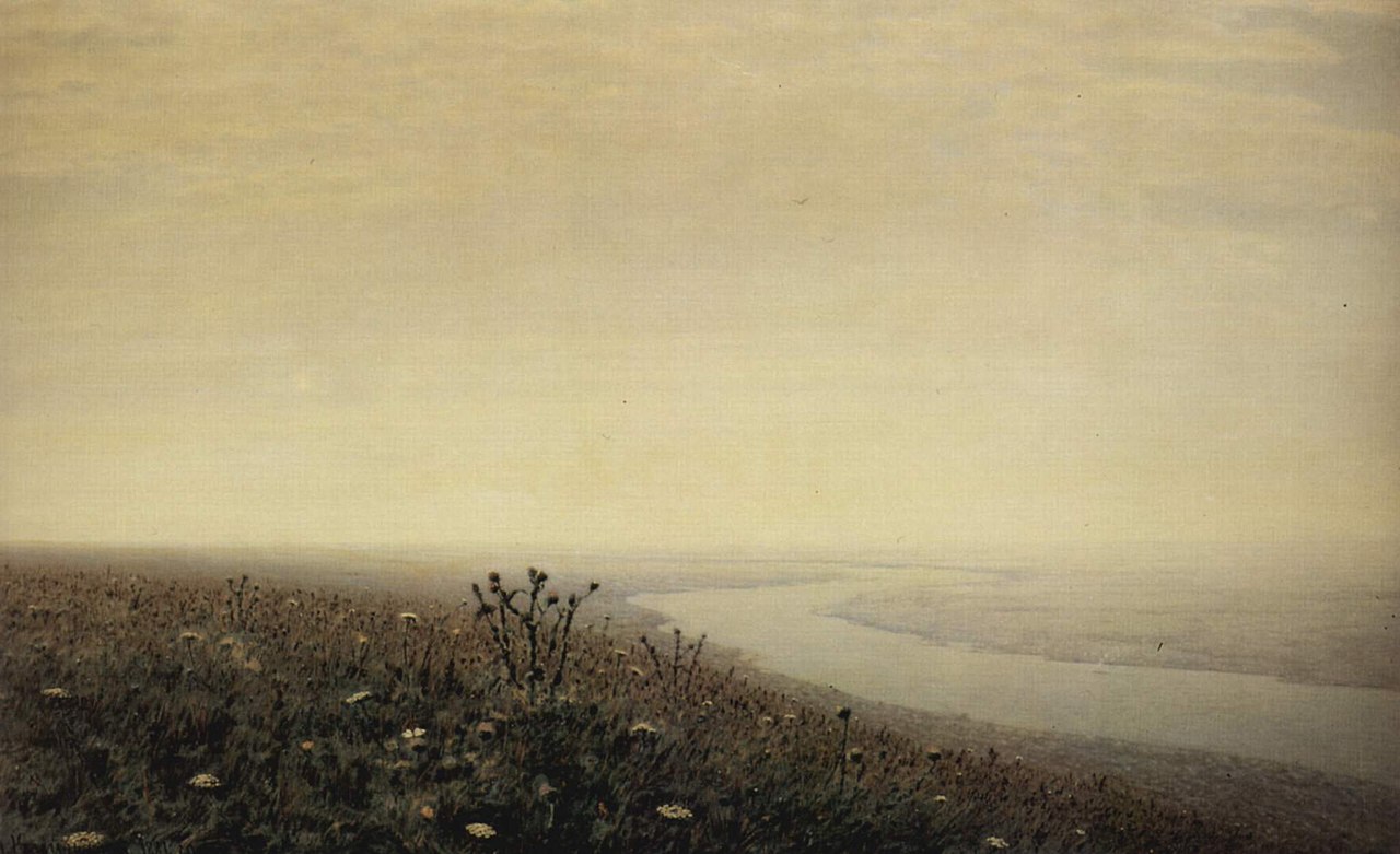
The Dnieper rises in the Valdai Hills of western Russia and travels roughly 2,285 kilometres to the Black Sea. It passes through three countries: Russia, Belarus and Ukraine, draining a basin of about 504,000 square kilometres. Much of the river's length and catchment lie in Ukraine. Along its course the river has been heavily modified by dams and reservoirs that regulate flow, generate power and enable navigation.
Major cities and tributaries
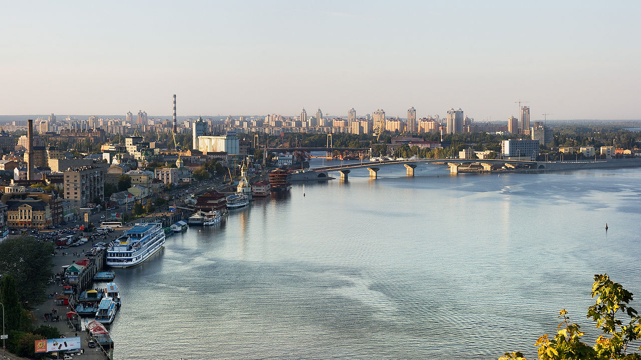
Several large cities sit on the Dnieper, reflecting its role as a transport corridor and urban focus. Notable urban centers include Kyiv, Dnipro and Zaporizhzhia. Principal tributaries that contribute to the river's flow include the Desna and the Pripyat. The Dnieper empties into the Black Sea, forming an estuarine zone that has long been important to maritime trade.
- Major cities: Kyiv, Dnipro, Zaporizhzhia, Kherson
- Notable tributaries: Desna, Pripyat, and others
- Terminus: the Black Sea (Black Sea)
History and cultural importance
In antiquity the river was recorded by Greek geographers as Borysthenes and later served as a vital route for the Varangians and other traders linking the Baltic and Black Sea regions. Over centuries the Dnieper's floodplains supported agriculture, forest economies and the growth of cities. Its banks house archaeological sites, religious centers and cultural landmarks that attest to long human presence.
Uses, infrastructure and environmental notes
The Dnieper is used for navigation, irrigation, freshwater supply and hydroelectric power: a series of dams and reservoirs provide significant electricity generation and regulated river transport. These works altered the river's flow, created lakes, and affected ecosystems. The basin supports diverse flora and fauna but faces pressures from pollution, habitat change and invasive species. For example, populations of the Quagga mussel occur in parts of the river system, reflecting wider shifts in aquatic communities.
As one of the major rivers of Europe, the Dnieper remains central to regional geography, economy and history. For further reading on navigation, hydrology and contemporary management see regional river basin studies and national water authorities (Belarus sources, Ukraine sources, Russian sources).
Historical designations
The Dnieper has undergone several name changes. Early ancient Greeks and Romans called the river Borysthénēs (from Scythian *varu-stāna), which in Scythian means "wide land", i.e. the Wild Field. Late antique (from the 4th century AD) Greco-Latin texts call it Danapris or Danaper, after its Sarmatian name *dānu apara "distant river". By the Huns the river was called Var (Iord. Get. 51), originally denoting the Kuban or one of its tributaries, and derived from the Sarmatian *var-dānu "broad river" (Ptolemy V, 8, 5, Ouardánēs). At the time of the rule of the Golden Horde on its lower course it received there the name Usu and Ohu (cf. Krimtatar. Özü), and later Exi (Tatar), Danapros (10th century), and Lussem (16th century). The present name Dnepr is the Slavic form of the Sarmatian name. Its forelimb *dānu "river" is also thought to be the root of the river names Danube, Dnister, Don, and Donets. Because of its great importance in the Slavic world, the Dnieper is sometimes called Slavutich "Slavic River" or Slavuta or Slavutyč "Son of Glory".
History
The river rises in Russia in the Valdai Heights, about 200 kilometers west of Moscow. Near the village of Bocharovo (Бочарово) in the heights of Bely (Бельская возвышенность), between Bely and Sychovka, there is the spring area, which has been a natural monument since 1981. The spring was described already in the late 17th century. It is located only a few kilometers from the main water divide point Baltic Sea-Black Sea-Caspian Sea.
For the first 200 kilometres or more of the river, the Dnieper tends to flow in a south-south-westerly direction and, after a bend to the west, passes the Russian city of Smolensk. About 60 kilometres below Smolensk it reaches the Belarusian border. For about 15 kilometres it is a border river before it turns south in a large bend at Orscha and crosses eastern Belarus. The largest town it flows through is Mahiljou (Mogiljow). After a total of 400 kilometres, it reaches the Ukrainian border at Novaya Huta and is again the border river for about 120 kilometres until it flows into the Kiev reservoir, the first of several Dnieper reservoirs. The Dnieper is Ukraine's main waterway and divides the country into western and eastern halves, flowing southeast from about Kiev before turning southwest in a wide arc called the Dnieper Bend below Kamjanske, formerly Dniprodzerzhynsk. After a total of over 1000 river kilometres in Ukraine, it finally flows into the Black Sea west of Kherson via the Dnepr-Bug-Liman estuary. In the lower reaches, rapids made the river unnavigable for a length of 70 km until the 19th century. In 1932, the regulation of the river south of Kiev was completed.
Questions and answers
Q: What is the Dnieper River?
A: The Dnieper River is one of the major rivers in Europe that flows from Russia, through Belarus and Ukraine, to the Black Sea.
Q: How long is the Dnieper River?
A: The total length of the Dnieper River is 2,285 kilometres (1,420 mi).
Q: What is the distribution of the Dnieper River across Russia, Belarus, and Ukraine?
A: 485 km (301 mi) is in Russia, 595 km (370 mi) is in Belarus, and 1,095 km (680 mi) is in Ukraine.
Q: What is the total area covered by the basin of the Dnieper River?
A: The total area covered by the basin of the Dnieper River is 504,000 square kilometres (195,000 sq mi).
Q: How much of the Dnieper River's basin is in Ukraine?
A: 289,000 km2 (112,000 sq mi) of the Dnieper River's basin is in Ukraine.
Q: What was the Dnieper River known as in antiquity?
A: In antiquity, the Dnieper River was known to the Greeks as the Borysthenes.
Q: What animal has the Dnieper River as part of its native range?
A: The Quagga mussel has the Dnieper River as part of its native range.
Related articles
Author
AlegsaOnline.com Dnieper River: course, history, economy and ecology Leandro Alegsa
URL: https://en.alegsaonline.com/art/28079
Sources
- rsis.ramsar.org : "Dnieper River Floodplain"
- commons.wikimedia.org : Dnieper