
Diekirch District (former administrative region of Luxembourg)
Former northernmost district of the Grand Duchy of Luxembourg, centered on the city of Diekirch. It was the largest district by area and was abolished as an administrative tier in 2015.
Overview
The Diekirch District was one of three historical administrative districts of the Grand Duchy of Luxembourg. Located in the northern part of the country, its administrative seat was the city of Diekirch. The district lay roughly at 49°52′N 6°10′E and was known for its rural landscape, river valleys and small towns. In 2015 Luxembourg abolished the district level of administration, and Diekirch survives now as a geographical and statistical reference.
Image gallery
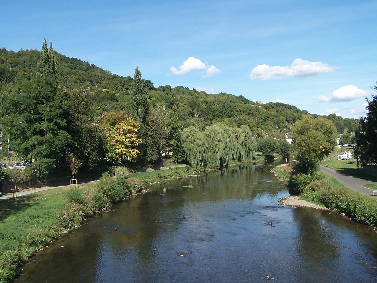
4 Images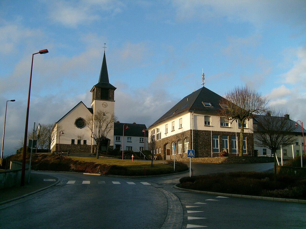

Geography and population
Diekirch was the largest of the three districts, covering about 1,157.2 km² and occupying the northernmost portion of the country. It had a population of approximately 83,661 inhabitants and, with a population density of 72.3 inhabitants/km², was the least densely populated of the former districts. The territory included upland areas of the Oesling (part of the Ardennes) and lower-lying valleys along the Sûre (Sauer) river.
Administrative subdivisions
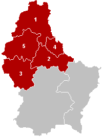
Administratively the district was divided into several cantons, each containing a number of communes. The principal cantons within this region were:
- Clervaux
- Diekirch
- Redange
- Vianden
- Wiltz
These cantons included both small market towns and extensive forested areas; several communes are popular for hiking, riverside recreation and historical sites.
History and legacy
The district structure had been used for national administration and statistical reporting until the government reformed local administration in 2015 and removed districts as an official layer. Although districts no longer exist as governing entities, the name and boundaries of Diekirch District persist in historical accounts, older legal documents and some datasets. Local institutions, cultural attractions and municipal organisations continue to identify with the region.
Notable features and importance
The region contains towns of cultural and touristic interest, such as Diekirch itself and Vianden, known for its hilltop castle and scenic setting. Diekirch hosts military history collections and commemorations that reflect the area's role during the twentieth century. The mix of uplands and river valleys gives the former district a distinctive natural character within Luxembourg and contributes to its role in tourism, outdoor activities and rural life.
Names and languages
The district’s name appears in multiple languages spoken in Luxembourg: French (Diekirch), German (Diekirch) and Luxembourgish (Dikrech). These variations reflect the multilingual environment of the country and are commonly seen in signage, maps and regional references.
Questions and answers
Q: What were the coordinates of the District of Diekirch?
A: The coordinates of the District of Diekirch were 49°52′N 6°10′E.
Q: What were the three languages spoken in the District of Diekirch?
A: The three languages spoken in the District of Diekirch were French, German, and Luxembourgish.
Q: What was the capital of the District of Diekirch?
A: The capital of the District of Diekirch was the city of Diekirch.
Q: When were the districts abolished in Luxembourg?
A: The districts were abolished in Luxembourg in 2015.
Q: What was the size of the District of Diekirch?
A: The District of Diekirch had an area of 1,157.2 km2 (446.8 sq mi), making it the largest of the three districts.
Q: What was the population of the District of Diekirch?
A: The population of the District of Diekirch was 83,661 inhabitants.
Q: What was the population density of the District of Diekirch?
A: The population density of the District of Diekirch was 72.3 inhabitants/km², which was the lowest density of all districts.
Related articles
Author
AlegsaOnline.com Diekirch District (former administrative region of Luxembourg) Leandro Alegsa
URL: https://en.alegsaonline.com/art/27279
Sources
- commons.wikimedia.org : Former Diekirch District
- statistiques.public.lu : "Population by canton and municipality 1821 - 2014"
- legilux.public.lu : "Loi du 2 septembre 2015 portant abolition des districts"
- legilux.public.lu : "Mémorial A, 1843, No. 17"
- legilux.public.lu : "Mémorial A, 2011, No. 110"
- statistiques.public.lu : "Recueil de statistiques par commune"
- statistiques.public.lu : "Surface area of the cantons and municipalities"