Crkvenica: A short river of Bosnia and Herzegovina, its landscape and heritage
Crkvenica is a 12 km right-bank tributary of the Vrbanja in central Bosnia and Herzegovina, notable for Dinaric karst headwaters, tufa deposits, medieval stećci and a historic system of watermills.
Overview
Crkvenica is a small mountain river in central Bosnia and Herzegovina that joins the Vrbanja River as a right-bank tributary. Although modest in length, the stream drains a distinct section of the northern slopes of the Dinaric mountain chain and supports natural and cultural features that have local importance for ecology, history and traditional rural life.
Image gallery
2 Images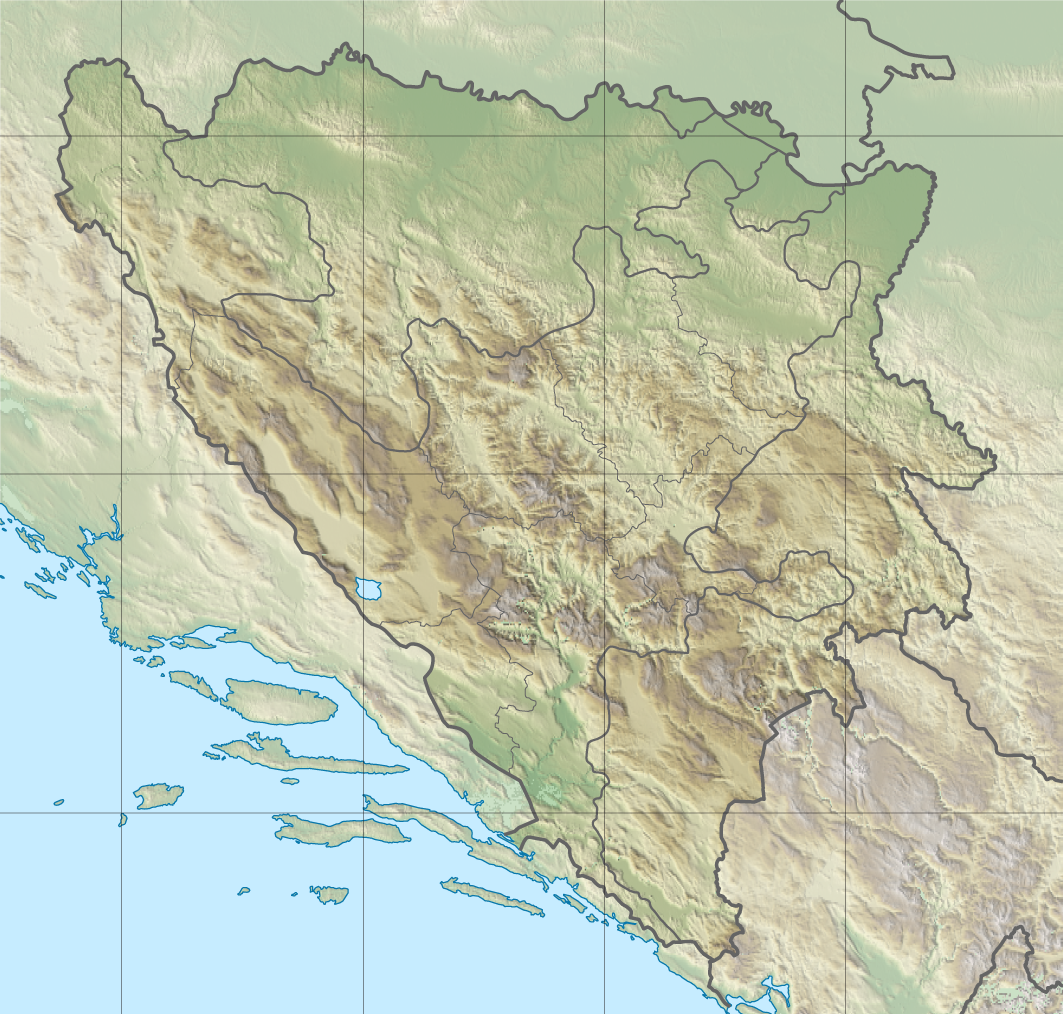

Geography and hydrology
The river rises on the high slopes between the Očauš range and the ridge known locally as Očauš and Šipraška brda, with source elevations near 1,200 metres above sea level. From its headwaters the stream flows generally southeast to its mouth at the village of Šiprage in the municipality of Kotor Varoš. Crkvenica is roughly 12 kilometres long and forms part of the Vrbanja catchment within the broader Dinaric system (Dinaric mountains and karst).
Near its headwaters the local topography forms a narrow watershed dividing the basins of the Vrbas and Bosna rivers. This kind of divide is characteristic of mountainous karst landscapes, where short, steep watercourses respond rapidly to precipitation and snowmelt and where underground drainage can be significant.
Geomorphology and tufa formation
Sections of the Crkvenica valley show calcareous tufa (travertine) deposits. Tufa forms where calcium-rich waters degas carbon dioxide or interact with plants, algae and mosses that encourage carbonate precipitation. Over time this process can create porous benches, small cascades and terraces that alter stream flow and create microhabitats. Such deposits are often of interest to geologists and ecologists because they record interactions between water chemistry, biology and climate on a local scale.
Cultural heritage: stećci and medieval remains
Along the Crkvenica and at its confluence with the Vrbanja several medieval stećci—carved monumental tombstones found across Bosnia and neighbouring regions—have been recorded. These grave markers are associated with the medieval period and reflect the funerary customs and stone-working traditions of past communities. Some stones from the original settings were quarried and reused in later masonry, while at least one well-preserved stećak remains close to its original placement and is reported as partly submerged in the river channel.
The stećci in the Crkvenica area are sometimes discussed in connection with local religious history and heterodox movements that affected the medieval western Balkans; however, attributions of specific beliefs to the makers of particular stones are often debated and should be treated with caution. For a general introduction to the regional context see sources on stećci and tufa contexts.
Watermills, economy and traditional use
The course of Crkvenica historically supported numerous watermills. Mid‑20th‑century accounts note about eighteen mills in operation along the stream and nearby tributaries. These mills were used primarily for grinding grain and were an integral part of village economies and seasonal rhythms. Many mill sites survive as ruins or adapted buildings and are visible features in the valley, illustrating how small mountain rivers were harnessed by local populations.
Traditional mill construction, placement and operation offer insight into vernacular engineering: simple millraces, wooden or stone wheelworks and mill houses set into banks or terraces. Although many mills are no longer functional, they remain elements of cultural landscape value.
Ecology and land cover
Crkvenica's headwater environment is typical of Dinaric mountain catchments: mixed broadleaf and coniferous forest in higher elevations, riparian shrubs such as alder and willow along the banks, and patches of open meadow used for grazing. Cold, well-oxygenated waters can support populations of cold‑water fish (locally including trout) and diverse aquatic invertebrates. Tufa formations create habitat heterogeneity by forming small pools and riffles that favour particular plants and animals.
As with many small mountain streams, the river's ecological condition depends on land‑use practices in the catchment, including forestry, pasture, small-scale agriculture and settlement impacts. Maintaining riparian vegetation and avoiding destructive bank works are important for conserving water quality and habitats.
Conservation, access and tourism
Crkvenica combines geological interest, biodiversity values typical of Dinaric headwaters and layers of human history. Its tufa formations, mill sites and stećci make the valley relevant for naturalists and cultural visitors. Conservation priorities include protecting tufa deposits and archaeological features from quarrying or insensitive construction, securing water quality, and documenting historical structures.
Access to the valley is generally by local roads and trails from nearby settlements; visitors should respect private land and local regulations. Sensitive tourism—guided visits, interpretation of heritage sites and modest infrastructure—can help support local communities while limiting damage to fragile features.
Research and resources
Further information on regional geology and karst processes can be found in general sources on the Dinaric mountains and karst. Local place-name and municipal information is useful for visitors: see references on the Očauš area, Šipraška brda and Kotor Varoš. Hydrological basin context is explained in materials on the Bosna watershed and the Vrbas basin. For cultural heritage overviews, consult introductions to stećci and tufa contexts and regional archaeological summaries. Local archives, municipal offices and heritage organisations may hold detailed records and maps for researchers and visitors.
- River: Vrbanja River (confluence)
- Source area: Očauš, Šipraška brda
- Regional geology: Dinaric mountains and karst
- Municipality: Kotor Varoš
- Drainage basins: Bosna watershed, Vrbas basin
- Heritage context: stećci and tufa contexts
Questions and answers
Q: What is Crkvenica?
A: Crkvenica is a river in Bosnia that flows into the Vrbanja River.
Q: Where does Crkvenica rise?
A: Crkvenica rises between the northwestern slopes of Očauš and Šipraška brda mountains.
Q: How long is Crkvenica?
A: Crkvenica is 12 kilometres (7.5 miles) long.
Q: What is Crkvenica known for?
A: Crkvenica is known for its water mills.
Q: What is the significance of the Tufa stećci on the Crkvenica riverbank?
A: The Tufa stećci on the Crkvenica riverbank is a relic of the Bogomil settlement in the twelfth century.
Q: Where is the mouth of Crkvenica?
A: The mouth of Crkvenica is in Šiprage (Kotor Varoš).
Q: How many water mills were there in Crkvenica during the 1950s?
A: During the 1950s, there were about 18 water mills in Crkvenica.
Related articles
Author
AlegsaOnline.com Crkvenica: A short river of Bosnia and Herzegovina, its landscape and heritage Leandro Alegsa
URL: https://en.alegsaonline.com/art/24244
Sources
- kartabih.com : Karta BiH – Karta Bosne i Hercegovine