
Crimea: geography, peoples, history and contemporary status
Crimea is a strategic Black Sea peninsula with a diverse population and complex history; controlled by Russia since 2014 but widely recognized internationally as part of Ukraine.
The Crimean Peninsula is a prominent landform projecting into the northern Black Sea and separating it from the Sea of Azov. Roughly 26,000 square kilometres in area, Crimea has a temperate climate on its southern coast and steppe landscapes inland. The peninsula's topography ranges from the low-lying northern plains to the forested and mountainous southern shore. Its location has made Crimea an important maritime, trading and military crossroads for centuries.
Image gallery
10 Images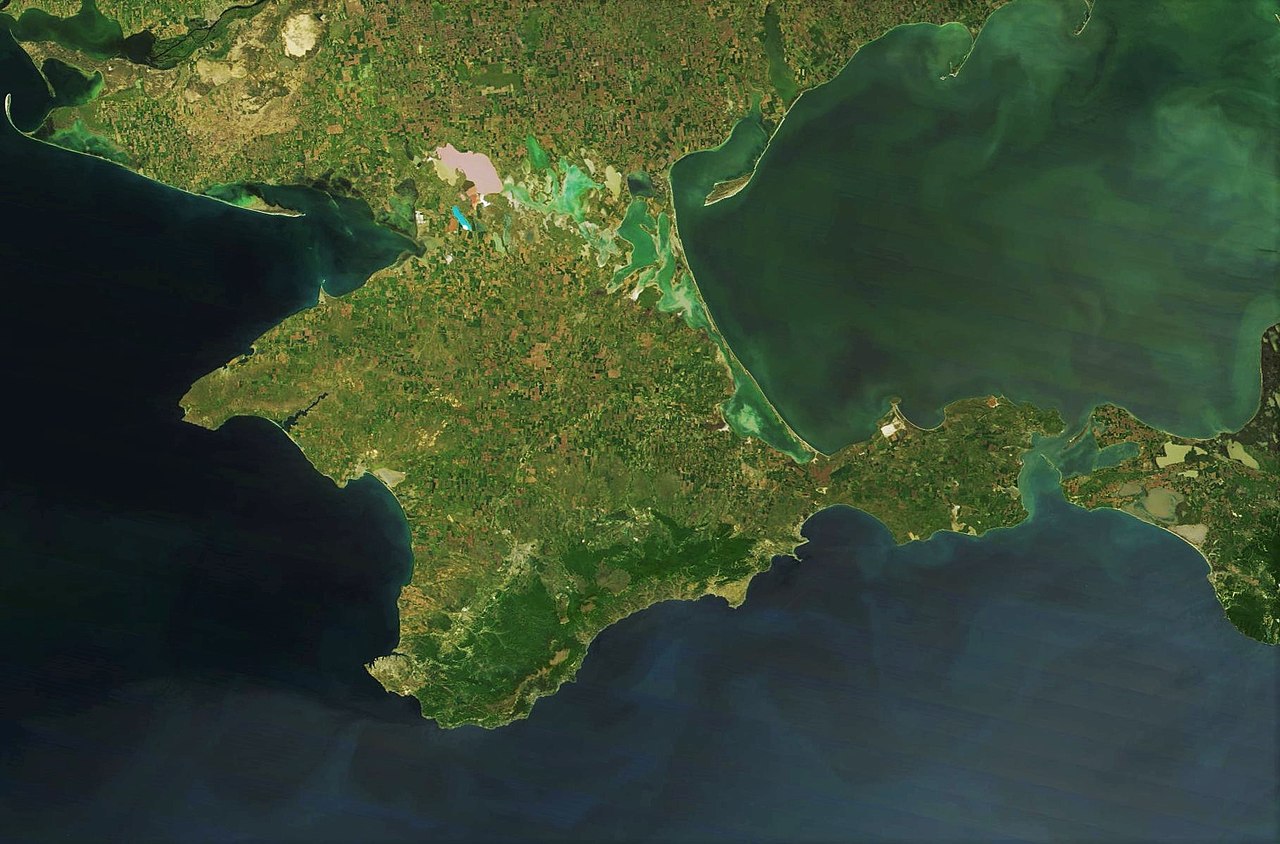



Population, language and communities
Crimea's population is diverse. Ethnic Russians form a large share of residents; significant Ukrainian and Crimean Tatar communities are also present, alongside smaller groups such as Crimean Karaites and Krymchaks. Languages commonly heard on the peninsula include Russian, Ukrainian and Crimean Tatar, with cultural and religious traditions reflecting Orthodox Christian, Muslim and other heritages. In recent years Ukraine has formally recognized the Crimean Tatars as an indigenous people on the peninsula.
Historic outline
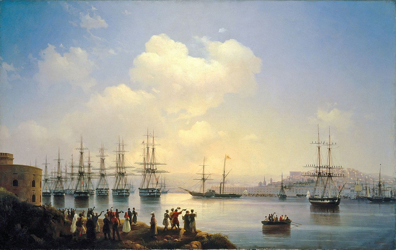
The region has a long recorded history. It was the center of the Crimean Khanate from the 15th to the 18th centuries, a state that maintained close ties with the Ottoman world. In the late 18th century the Russian Empire expanded southward and incorporated Crimea. The peninsula later became the scene of major 19th-century conflicts, including the Crimean War, which involved a coalition of European powers. In the Soviet period Crimea was administered within the Russian Soviet Federative Socialist Republic until a transfer of jurisdiction to the Ukrainian Soviet Socialist Republic in 1954.
Administration, cities and economy
Under Soviet and post‑Soviet arrangements Crimea was granted autonomous status within Ukraine, with Simferopol as the administrative center. Other important urban centers include Sevastopol, historically a major naval base and port, and Kerch, which faces the Kerch Strait connecting the Black Sea and the Sea of Azov. The peninsula's economy relies on agriculture, tourism (particularly along the southern coast), fishing and port activities. Infrastructure projects, transport links and maritime facilities have been important to the local economy and regional connectivity.
2014 events and international status
In 2014 armed forces seized control of the peninsula and a referendum organized by local authorities resulted in a declaration of accession to the Russian Federation. Russia administers Crimea de facto as federal subjects of the Russian state. The referendum and change of control are not accepted by Ukraine and by the majority of United Nations member states. The UN General Assembly adopted a resolution affirming Ukraine's territorial integrity, and many countries imposed diplomatic measures and economic sanctions in response. Thus Crimea's status remains one of the most prominent questions in contemporary East‑West relations, with legal and political disputes continuing in international forums.
Distinctions and contemporary relevance
Crimea's strategic value arises from its position on the Black Sea, deep‑water ports and historical role as a naval hub. Its cultural landscape reflects a layered past of Greek colonies, medieval khanates, Ottoman rule and Imperial and Soviet Russian influence. The peninsula continues to be an area of active geopolitical significance, affecting regional security, energy routes, maritime law and the relations between the countries and organizations involved.
Further reading and links
- Russian-language overview
- Ukrainian-language overview
- Geography and maps
- Black Sea context
- Sea of Azov connection
- Information on ethnic Russians
- Information on ethnic Ukrainians
- History under the Russian Empire
- Ottoman historical ties
- The Crimean War
- Soviet period administration
- Transfer to Ukraine in 1954
- Autonomous status within Ukraine
- Simferopol municipal information
- Sevastopol and naval significance
- Events of 2014: demonstrations and protests
- Republic of Crimea (de facto entity)
- Federal subjects in the Russian system
- De jure perspectives on territorial integrity
- UN General Assembly Resolution overview
- US policy and statements
- European Union responses and sanctions
Geography
|
| ||||
| Relief map with the largest cities of the Crimea |


Crimea is the largest peninsula in the Black Sea. It is surrounded by the Black Sea to the west and south and the Sea of Azov to the east. In the north, the peninsula is connected to the mainland by the Syvash, an extensive system of shallow bays in the west of the Sea of Azov. The isthmus of Perekop provides a continuous land connection to the Ukrainian mainland. To the east, Crimea is bordered by the Kerch Peninsula, on the opposite shore of which lies the Taman Peninsula, part of the Russian region of Krasnodar.
The northern part of the peninsula is flat to gently undulating and forms a steppe landscape, which until the annexation of the Crimea was irrigated with water from the Dnieper via the North Crimean Canal.
In the south of the peninsula lies the Crimean Mountains, which are not only a geographical barrier, but also a weather and climate divide. While north of the mountains rather temperate climate conditions prevail and especially the winters are significantly colder, south of the Crimean Mountains prevails Mediterranean climate, in which southern fruits and also vines thrive well.
The highest elevations of the Crimean Mountains are Roman Kosh (1545 m), Chatyr-Dag (1527 m) and Lapata (1406 m). Numerous rivers form here, such as the Alma, the Belbek, the Chorna and the two headwaters of the Salhyr, the longest river in the Crimea with 232 kilometers. The Uchan Su Waterfall is the highest waterfall in the Crimean Mountains.
Another distinctive feature is the Arabat Spit, which separates the Sea of Azov from the Syvash. The spit lies between the city of Henichesk, Ukraine, to the north and the northeast coast of the Crimean Peninsula to the south. The Arabat Spit is 112 km long and 270 m to 8 km wide. Its area is 395 km², the average width is 3.5 km.


Etymology of the name
The name of Crimea may derive from the Mongol-Tatar kerim 'fortress' or from the Crimean Tatar qrım 'rock', but possibly also from the ancient Cimmerian people who lived in Crimea and are mentioned by ancient Greek authors. It is likely that the name Crimea once referred to the region in the mountainous south of the peninsula. This extended over the hinterland between the bay of Sevastopol (the historical Khersones) and Sudak (formerly also called Soldaiam). Forty fortified settlements (castra, castella) are said to have been located there in the Middle Ages. The Turkic origin of the name Qirɨm was therefore also derived from Qirq-ïer, i.e. qirq "forty" + ïer "places". This meaning "forty localities" is reported by the Flemish Franciscan Willem Ruysbroek in 1253: "sunt quadraginta castella inter Kersonam et Soldaiam". The Kurdish chronicler and geographer Abu'l-Fida reports in 1321: "Qirim is the name of a stretch of land which contains about forty localities, of which about Sūdāq and Kafā [present-day city of Feodossija] are among the best known."
Related articles
Author
AlegsaOnline.com Crimea: geography, peoples, history and contemporary status Leandro Alegsa
URL: https://en.alegsaonline.com/art/24191