
Ćorkovac — a tributary of the Vrbanja River in central Bosnia
Ćorkovac is a short mountain tributary of the Vrbanja River in central Bosnia, rising on the Vlašić plateau. Noted for its spring at 1,150 m, historic watermills and its role among several nearby confluents.
Ćorkovac is a small mountain stream in central Bosnia and Herzegovina that joins the Vrbanja River from the east. Its source lies on the north-eastern slopes of the Vlašić plateau, and its mouth is at the settlement of Šiprage, historically the site of a town sawmill. The spring is situated at approximately 1,150 metres above sea level and the channel runs for roughly six kilometres to its confluence. As a short upland tributary, Ćorkovac typifies the steep, wooded streams that drain the Dinaric karst-influenced highlands of the region.
Image gallery
2 Images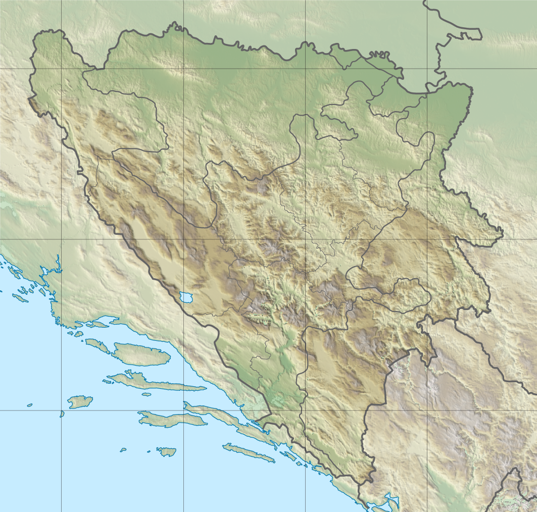

Physical characteristics and course
Ćorkovac flows through a narrow mountain valley between the ridges of Jasen and Stražbenica, descending rapidly from its plateau source toward lower elevations. Along its course the stream collects runoff from seasonal springs and small mountain slopes, creating a clear, cold torrent especially in spring and after rainfall. The stream’s length, gradient and woodland cover have traditionally supported local uses such as small-scale milling and limited irrigation of adjacent pockets of arable land.
Surrounding watershed and neighbouring streams
Ćorkovac is one of several short but ecologically important confluent streams feeding the Vrbanja and the adjacent Ugar basin. Nearby watercourses include Ilomska, Kovačevića potok, Grabovička rijeka, Kobilja and Ugrić. These streams form a compact riverhead that provides fertile micro-valleys and alluvial terraces in an otherwise steep landscape. The crest of this local watershed lies toward the villages and hamlets such as Petrovo Polje, Imljani and Vlatkovići, within the administrative area historically associated with the Skender Vakuf municipality.
History and human use
Historically, streams like Ćorkovac supported rural economies through watermills, small sawmills and local livestock watering. The sawmill at Šiprage and a number of traditional watermills along Ćorkovac remained in use into the mid-20th century, with many ceasing operation around the 1960s as industrialization and changes in rural life reduced reliance on such infrastructure. The channel and its banks have also been used for local footpaths, foraging and seasonal grazing.
Ecology and significance
Despite its modest size, Ćorkovac contributes to the hydrological and ecological integrity of the Vrbanja catchment. Cold mountain streams in this region help maintain downstream base flow, provide habitat for aquatic invertebrates and, where present, fish populations adapted to cooler water. The riparian corridors also serve as movement routes for wildlife and help preserve local biodiversity in an otherwise forested landscape.
Notable facts and contemporary context
- Source elevation: about 1,150 metres above sea level on the Vlašić plateau.
- Approximate length: 6 kilometres from spring to mouth at Šiprage.
- Forms part of a cluster of tributaries that feed the Vrbanja and the Ugar river systems.
- Traditional watermills operated until the 1960s; vestiges of rural infrastructure can still be found in sections of the valley.
Today Ćorkovac is primarily of local hydrological and cultural interest: it illustrates the pattern of small mountain tributaries that knit together larger river systems in Bosnia’s central highlands and preserves elements of historical rural life. Visitors and researchers interested in the physical geography or traditional practices of the Vrbanja basin will find the Ćorkovac valley a representative example of these upland watercourses.
Questions and answers
Q: What is Ćorkovac?
A: Ćorkovac is an eastern confluent of the Vrbanja river in Bosnia.
Q: Where does Ćorkovac begin and where does its mouth open?
A: Ćorkovac begins on the north-eastern slopes of the Vlašić mountain's plateau and its mouth opens at Šiprage.
Q: What is the altitude of Ćorkovac's spring?
A: The spring of Ćorkovac is 1,150 metres above sea level.
Q: What is the length of Ćorkovac?
A: The length of Ćorkovac is around 6 kilometres.
Q: Were the watermills in operation recently?
A: No, the watermills were in operation until the 1960s.
Q: What other confluents of Vrbanja and the Ugar river are in the narrow area?
A: The other confluents of Vrbanja and the Ugar river in the narrow area are Čudnić, Grabovička rijeka, Ilomska, Kobilja, Kovačevića potok, Ugrić, and some others.
Q: In what direction does the crest of the riverhead direct towards?
A: The crest of the riverhead directs towards the villages of Petrovo Polje, Imljani, Vlatkovići, and the Skender Vakuf Municipality.
Related articles
Author
AlegsaOnline.com Ćorkovac — a tributary of the Vrbanja River in central Bosnia Leandro Alegsa
URL: https://en.alegsaonline.com/art/23096
Sources
- kartabih.com : kartabih.com/
- geographic.org : geographic.org/geographic_names/name.php?uni=356318&fid=578&c=bosnia_and_herzegovina