Connecticut: New England state of rivers, industry, and early American government
Connecticut is a New England state on Long Island Sound, known for colonial history, the insurance industry, Yale University, and its capital Hartford and largest city Bridgeport.
Overview
Connecticut is a state in the New England region of the northeastern United States. It occupies a coastal position on the Long Island Sound and is bordered by New York, Massachusetts and Rhode Island. The state capital is Hartford, while its largest city is Bridgeport. Connecticut combines suburban corridors, small cities and maritime communities within a relatively compact area, giving it a dense population pattern compared with much of the country. For more general context see Connecticut and its place in the United States.
Image gallery
10 Images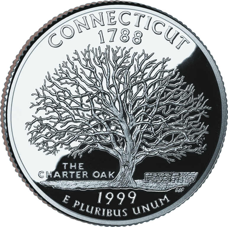


Geography and major places
The landscape ranges from the coastal plain along Long Island Sound to rolling hills inland and the broad Connecticut River valley. The coastline, harbors and estuaries have long supported fishing, shipping and tourism. Key population centers include:
- Bridgeport — the largest city and an industrial and maritime center.
- Hartford — the state capital and a historic insurance and governmental hub.
- New Haven — home to Yale University and a cultural and academic center.
- Other notable cities and towns include Stamford, Norwalk, New London and Middletown.
History and development
European settlement in Connecticut dates to the early 17th century. Colonists established towns such as Hartford, New Haven and New London; these communities developed local governments and trade. Historic documents produced in the colony, notably the Fundamental Orders, are often cited as early examples of written constitutional governance. Over the 18th and 19th centuries the region grew through trade, shipbuilding and later industrial manufacturing, participating actively in the economic and political life of the emerging nation.
Economy, education and culture
Connecticut's economy blends finance and insurance, advanced manufacturing, higher education and services. Hartford has long been associated with insurance companies, while coastal and interior cities host a range of manufacturing and technology firms. Higher education institutions, most prominently Yale University in New Haven, shape the state's cultural life and research profile. Museums, historic sites, performing arts venues and maritime attractions contribute to tourism and local identity.
Government, transport and public life
State government is led by an elected governor and a bicameral legislature. Local towns and cities exercise substantial authority over schools, zoning and municipal services. Transportation corridors include major interstates and passenger rail connecting Connecticut communities to the broader Northeast corridor, supporting commuting, commerce and regional travel.
Notable distinctions
Often known by nicknames such as the "Constitution State," Connecticut is one of the smallest U.S. states by area yet has a significant economic and cultural footprint. Its combination of colonial heritage, influential institutions, dense settlement and coastal geography makes it distinctive among New England states. Visitors are drawn to historic downtowns, university campuses, coastal scenery and museums that reflect both local and national history.
Geography
Connecticut, the third smallest state in the USA, is located in the northeast of the USA on the Atlantic Ocean. The state stretches 177 km between 40°58′N and 42°3′N and 113 km between 71°47′W and 73°44′W. Connecticut is bordered by Massachusetts to the north, Rhode Island to the east, Long Island Sound to the south, and New York to the west. The state is flowed through by the largest river in New England: the Connecticut River. Water covers 1,809 square miles (12.6 percent) of the state's land area, and 56 to 63 percent of the land area is forested; otherwise, hills, lakes, and plains (including the 10-mile-wide coastal plain) characterize the state. Part of the Appalachian Mountains form the highest elevations (Mount Frissell 725 m) of the state.
Outline
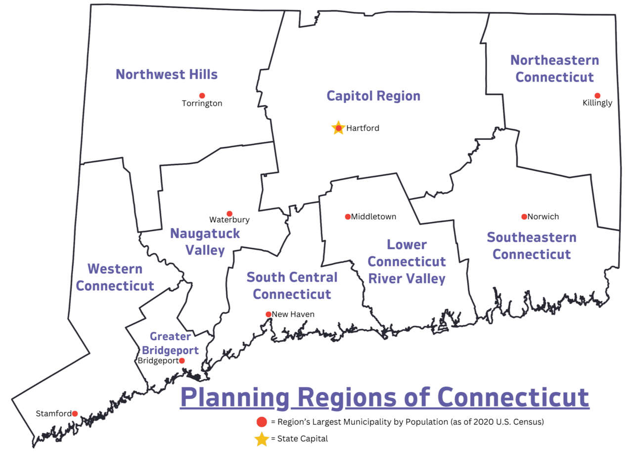
Connecticut is divided into eight counties: Fairfield, Hartford, Litchfield, Middlesex, New Haven, New London, Tolland, and Windham. These have only significance as police and judicial districts, the county administrations were abolished in 1960 and all powers transferred to the next lower level, the towns.
See also: List of counties in Connecticut
Related articles
Author
AlegsaOnline.com Connecticut: New England state of rivers, industry, and early American government Leandro Alegsa
URL: https://en.alegsaonline.com/art/22553
Sources
- factfinder.census.gov : "2014 Population Estimate" · webcitation.org
- www2.census.gov : Table B-1. Metropolitan Areas – Area and Population
- census.gov : "Connecticut: Population estimates"
- kff.org : "Median Annual Household Income"