Connecticut River — New England’s Longest River and Major Watershed
Major New England river about 407 miles long, draining ~11,250 sq mi across four states to Long Island Sound; important for ecology, history, navigation, hydropower and regional culture.
Overview
The Connecticut River is the longest river in New England and one of the region's principal waterways. It flows roughly 407 miles (about 655 km) from upland headwaters to its estuary at Long Island Sound, an arm of the Atlantic Ocean. The river's watershed covers about 11,250 square miles (roughly 29,000 km²), collecting runoff from parts of four U.S. states and discharging a large volume of water at its mouth. The Connecticut River corridor is a defining geographic feature of the northeastern United States, shaping settlement, transportation and ecology in the valley.
Image gallery
10 Images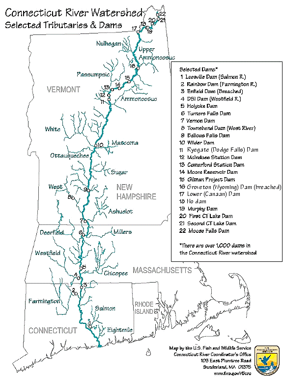


Course and geography
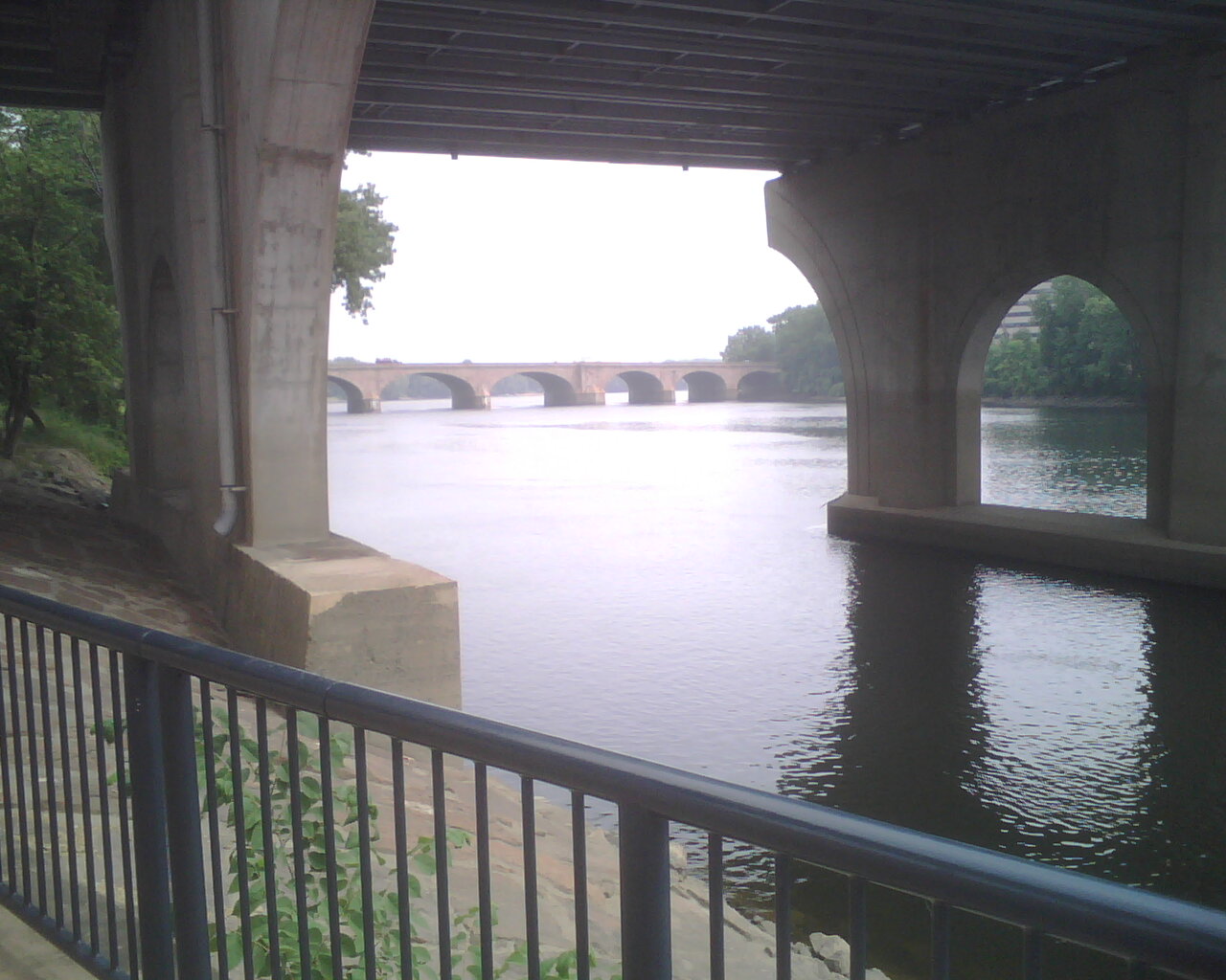
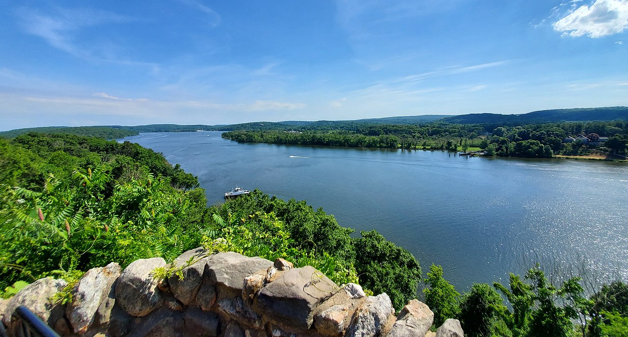
The Connecticut River rises in the northern highlands and flows generally south. It forms sections of state boundaries and traverses varied landscapes including mountain valleys, broad floodplains and tidal marshes. The river passes through or along the borders of New Hampshire, Vermont, Massachusetts and Connecticut. Much of the middle and lower valley is farmed or preserved as open space; in places the valley narrows and the river drops through falls and rapids. Transportation corridors, notably Interstate 91, follow long stretches of the river because the valley provides a relatively direct north–south route.
Tributaries, hydrology and floodplain
The Connecticut receives numerous tributaries that contribute to its flow and ecological diversity. Tributaries range from small mountain streams to larger rivers that drain adjacent highlands. The river's hydrology is influenced by seasonal snowmelt, rainfall patterns, and human-controlled reservoirs and dams. Its floodplain supports agricultural soils and wetlands, and periodic flooding has shaped settlement and land use; flood-management and restoration efforts are an ongoing part of watershed planning.
Cities, economy and cultural importance
The Connecticut River corridor hosts several cities and many smaller towns. The largest city on the river is Springfield, Massachusetts, and Hartford, Connecticut, the state capital, is another major urban center. These and other river towns grew historically because the river provided transportation, water power and fertile land. Industries such as milling and manufacturing were concentrated along the river during the 18th and 19th centuries; remnants of that industrial heritage remain alongside modern economic uses.
Ecology and species
The Connecticut River basin supports diverse habitats: cold-water mountain streams, riparian forests, floodplain meadows and tidal marshes near the Sound. It is an important corridor for migratory fish and birds. Historically, anadromous fish such as shad and river herring moved between sea and spawning grounds; contemporary conservation work focuses on restoring fish passage, improving water quality and protecting wetlands that sustain wildlife.
Dams, navigation and recreation
Throughout its length the river has been modified by dams, mills and bridges. Some dams provide hydropower, municipal water supply or flood control; others have been reconfigured to improve fish passage. The river is used for boating, fishing, kayaking and riverside trails, and many communities promote recreational access and riverfront parks. Navigation historically supported commerce on selected reaches, though today most large-scale transport occurs on roads and rails that parallel the river.
Conservation and management
Cooperative, interstate efforts address water quality, habitat restoration, and floodplain protection across the Connecticut River watershed. Local and regional organizations, state agencies and federal programs work together to balance human uses with ecological health. For maps, current planning documents and educational materials, consult organizations focused on the Connecticut River and the broader region of the New England and eastern United States.
This river remains a central natural and cultural feature of the region: a corridor for wildlife, a resource for communities, and a landscape shaped by centuries of human and natural history.
Questions and answers
Q: What is the Connecticut River?
A: The Connecticut River is the largest river in New England, which is a region in the eastern United States. It is about 407 miles (655 km) long, with a watershed covering about 11,250 square miles (29,137 square kilometers).
Q: How much water does it pour into its mouth at Long Island Sound every second?
A: Every second, it pours about 19,600 cubic feet (560 cubic meters) per second into its mouth at Long Island Sound, part of the Atlantic Ocean.
Q: Through which states does the river flow?
A: The river flows through the U.S. states of New Hampshire, Vermont, Massachusetts, and Connecticut.
Q: What interstate highway parallels the river for a notably long distance?
A: Interstate 91 parallels the river for a notably long distance.
Q: What is the largest city on the Connecticut River?
A: The largest city on the Connecticut River is Springfield, Massachusetts.
Q: What is the second largest city on this river?
A: The second largest city is Hartford, Connecticut; which is also the state capital of Connecticut.
Q: How far apart are these two cities from each other?
A: These two great cities are only 23.9 miles apart (38.5 km.)
Related articles
Author
AlegsaOnline.com Connecticut River — New England’s Longest River and Major Watershed Leandro Alegsa
URL: https://en.alegsaonline.com/art/22551