
Cold front
A cold front is the leading edge of a colder air mass that displaces warmer air, producing characteristic temperature drops, wind shifts and often showers or storms; important for forecasting and weather hazards.
A cold front is the boundary where a relatively cold, dense air mass advances and replaces a warmer, lighter air mass. The denser air moves beneath the warmer air and forces it upward, producing lift that often leads to cloud development, showers or thunderstorms. The term appears in meteorology as a basic way to describe synoptic-scale air-mass interactions and their surface expression; its definition and behavior are described in many introductory texts and guides meteorological reference.
Image gallery
7 Images


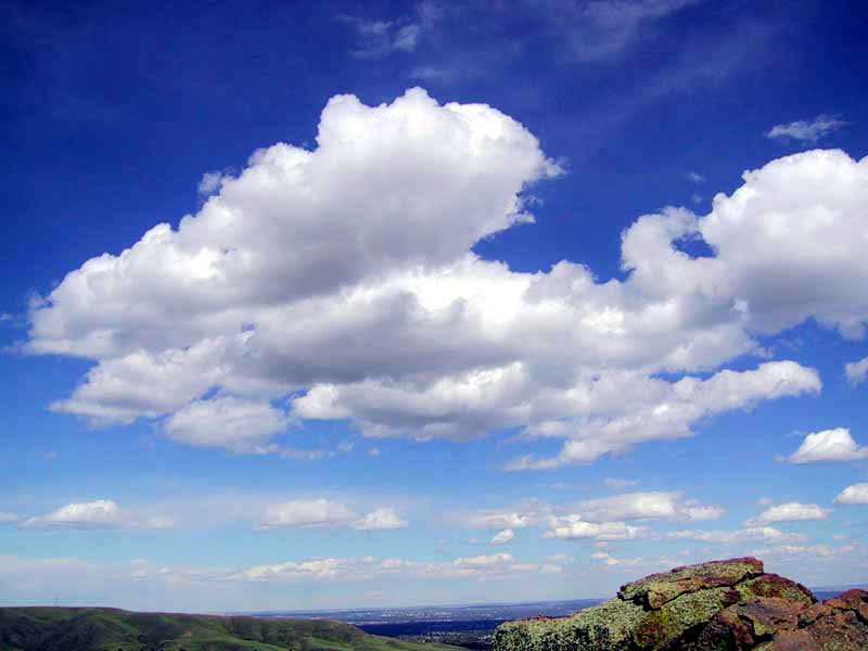

How it forms and basic dynamics
When a cold air mass moves into a region occupied by warmer air, the frontal surface slopes upward from the cold side into the warm side. This slope causes rising motion along the front: warm, moist air is lifted, cools, and condenses into clouds. If moisture and instability are sufficient, a line of showers or thunderstorms — sometimes organized as a squall line — can develop along or ahead of the front. The passage of a cold front is commonly associated with a fall in surface pressure followed by a pressure rise, a noticeable temperature drop, a shift in wind direction, and a reduction in humidity.
Typical weather and hazards
Weather near cold fronts varies with the front’s strength, speed and the available moisture. Common features include cumulus and cumulonimbus clouds, short-lived but intense precipitation, gusty winds and occasional severe phenomena such as hail, damaging straight-line winds, or tornadoes in favorable conditions. Frontal precipitation is often concentrated in a narrow band; forecasters track these bands because they can produce sharp contrasts over short distances. Cold fronts also influence aviation and marine operations because of turbulence, wind changes and convective activity air-mass movement.
Identification and behavior on maps
On surface weather charts a cold front is conventionally drawn as a blue line with triangles or spikes pointing in the direction of movement. This symbol helps meteorologists and the public recognize where colder air is advancing. Cold fronts tend to move faster than warm fronts, sometimes up to about twice the speed, and they can overtake slower systems to form occluded fronts. Observations of temperature, dew point, wind and pressure changes are used to pinpoint the frontal passage in surface data and forecasts chart conventions.
Variants, development and examples
Not all cold fronts are the same: stationary fronts occur when neither air mass advances; occluded fronts form when a cold front catches up with a warm front; and dry cold fronts produce little precipitation but marked cooling. In summer, a fast-moving cold front can trigger severe thunderstorms or a line of storms; in winter it can bring abrupt temperature falls and a wind shift, sometimes followed by post-frontal showers or lake-effect precipitation where cold air flows over warmer water shower lines thunderstorm development.
Importance and practical considerations
- Forecasting: identifying cold fronts helps predict short-term changes in temperature, wind and precipitation.
- Safety: sudden storms and wind shifts near fronts are a focus for severe-weather warnings and travel advisories.
- Climatology: fronts are central to mid-latitude weather patterns and seasonal transitions.
Modern weather models and observations (satellite, radar and surface stations) are used to monitor frontal positions and evolution. For further technical detail and operational guidance see specialist resources and training material front speed comparison and observational manuals thunderstorm resources or general guides shower and squall line and meteorological reference.
For practical maps and forecasts consult official weather services and synoptic charts surface analysis. Additional educational material on frontal structure and impacts is available from introductory meteorology texts and outreach sites air-mass movement.


Anacalt front
According to classical theory, cold air gets under warm air, causing convergence at the air mass boundary. Here, the warm, moist air is forced to rise. The result is cloud formation and precipitation behind the cold front.
In the illustration, the cold air advance is from the right; the pressure and temperature curves, on the other hand, are set in mirror image.

Cataclysmic Front
In the case of the catacalt front, the cold air gets over the warm air. The rise of the warm air is thereby prevented by the sinking of the dry air. Thus, also the cloud development, which takes place in front of the cold front, is kept small.
Questions and answers
Q: What is a cold front?
A: A cold front is a meteorological term that describes cooler air mass moving into an area of warmer air, causing upward motion and lowered pressure.
Q: What happens when the denser cool air moves under the less dense warm air?
A: The cool air lifts the warm air, causing showers, thunderstorms, or a squall line to form.
Q: How is the surface position of the cold front marked on weather maps?
A: The surface position of the cold front is marked with the symbol of a blue line of triangles/spikes pointing in the direction of its movement.
Q: What is the difference between the speed of a cold front and a warm front?
A: Cold fronts can move up to twice as fast as warm fronts.
Q: What are some effects of cold fronts?
A: Cold fronts can cause temperature drops, strong winds, thunderstorms, and heavy rain.
Q: What weather conditions can accompany the formation of a cold front?
A: The formation of a cold front can cause a line of showers and thunderstorms or a squall line to form when there is sufficient moisture.
Q: What is the mechanism that causes lowered pressure along the cold front?
A: The upward motion of the warm air causes lowered pressure along the cold front.
Author
AlegsaOnline.com Cold front Leandro Alegsa
URL: https://en.alegsaonline.com/art/21491
Sources
- ww2010.atmos.uiuc.edu : Cold Front.