
Colac, Victoria — regional centre on Lake Colac
Colac is a town in Victoria, Australia, on the southern shore of Lake Colac. It serves as the administrative centre of Colac Otway Shire and is a regional service hub for surrounding agricultural and coastal areas.
Overview
Colac is a regional town in the western district of Victoria, located about 150 kilometres south‑west of Melbourne. It lies on the southern shore of Lake Colac and occupies part of the surrounding volcanic plains roughly 40 kilometres inland from Bass Strait. As the largest population centre in the area and the administrative seat of Colac Otway Shire, the town provides services and facilities for a wide rural catchment; the residential population was roughly 12,400 in 2016.
Image gallery
4 Images


Geography and environment
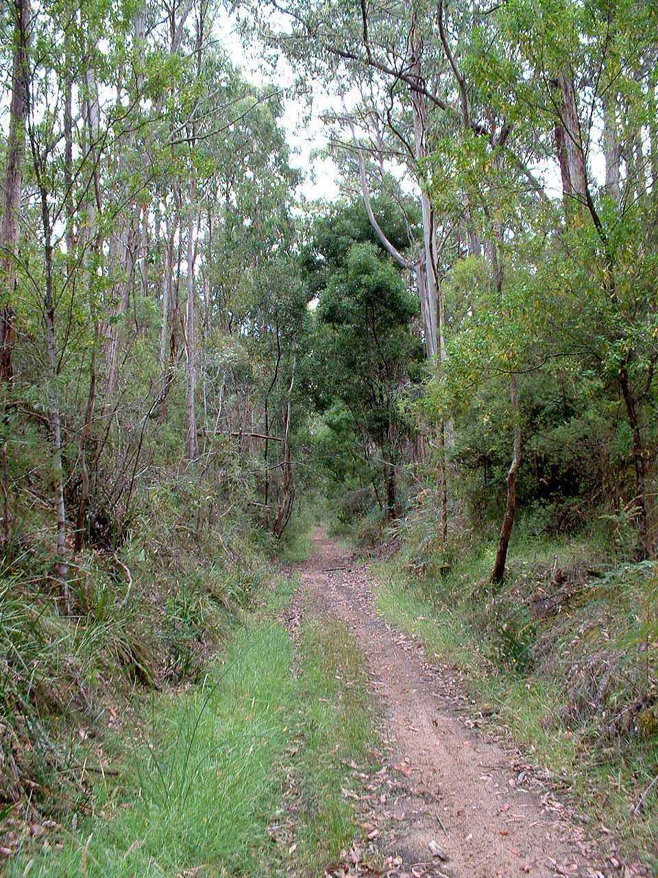
The town sits beside Lake Colac, a shallow freshwater lake that influences local recreation and ecology. Surrounding land consists of volcanic flats that are generally fertile and have supported farming since European settlement. To the south and west the landscape rises toward the Otway Ranges, creating a contrast between lowland plains and nearby forested hills. The climate is temperate with maritime influence, producing cool, wet winters and mild summers.
History and development
Before European colonisation the area was inhabited by Indigenous peoples whose connections to country predate written records. European settlement in the 19th century established Colac as a service centre for pastoral and agricultural activities. Over time the town expanded with institutions such as local government, schools and community organisations, developing a mixed economy centred on primary production and regional services.
Economy and services
Agriculture remains important, with dairy, cropping and timber among the main industries. Colac also supports retail trade, health and education services that serve the wider shire. Small manufacturing and food processing enterprises take advantage of local produce, while public administration for the Colac Otway Shire contributes to employment and infrastructure investment.
Attractions and community life
- Lake Colac and its foreshore parks, used for walking, boating and birdwatching.
- Local gardens, community markets and cultural events that reflect regional traditions.
- Proximity to the Otway Ranges and sections of the coastal Great Ocean Road makes Colac a convenient base for visitors exploring south‑west Victoria.
Transport and governance
Colac is connected by regional roads and rail to coastal towns and metropolitan centres, enabling commuter and freight movement. It functions as the administrative centre of Colac Otway Shire, housing council services and facilities for planning, community support and local development. While primarily a rural service town, Colac's location and amenities give it a wider regional significance in south‑west Victoria.
Questions and answers
Q: Where is Colac located?
A: Colac is located in the western district of Victoria, Australia.
Q: How far is Colac from Melbourne?
A: Colac is about 150 kilometres (93 mi) south-west of Melbourne.
Q: What is the geographical feature that surrounds Colac?
A: Colac is on the southern shore of Lake Colac and the surrounding volcanic plains.
Q: How far is Colac from Bass Strait?
A: Colac is approximately 40 kilometres (25 mi) inland from Bass Strait.
Q: What is the population of Colac as of June 2016?
A: Colac had a population of 12,411 as of June 2016.
Q: What is the administrative center of the Colac Otway Shire?
A: Colac is the largest city in and administrative center of the Colac Otway Shire.
Q: What is the significance of Colac's location in relation to Bass Strait?
A: Colac being inland from Bass Strait means that it is not a coastal town, but it is relatively close to the coast.
Related articles
Author
AlegsaOnline.com Colac, Victoria — regional centre on Lake Colac Leandro Alegsa
URL: https://en.alegsaonline.com/art/21473
Sources
- abs.gov.au : "3218.0 – Regional Population Growth, Australia, 2016: Population Estimates by Significant Urban Area, 2006 to 2016"
- paperspast.natlib.govt.nz : paperspast.natlib.govt.nz/cgi-bin/paperspast?a=d&d=WI18711208.2.13
- premierpostal.com : Post Office List
- sixdayrace.org.au : "Cliff Young Australian 6-day race"
- colacherald.com.au : "colacherald.com.au"
- 3cs.com.au : "1134 3CS - Home"
- mixxfm.com.au : "MIXX FM 106.3MHz"
- standard.net.au : "OCR FM (Community Radio Service) 98.3MHz, 88.7MHz Lorne & 99.1MHz Apollo Bay"
- fullpointsfooty.net : Colac Imperials
- fullpointsfooty.net : South Colac
- countryracing.com.au : Colac Turf Club
- countryracing.com.au : Colac St Patrick Picnic
- golfselect.com.au : Colac