Chicago Loop — downtown core and historic commercial district
The Loop is Chicago's central business district and one of the city's 77 official community areas. A civic, cultural and transit hub, it is known for elevated rail, major museums, theaters and landmark skyscrapers.
Overview
The Loop is the name commonly used for Chicago's central business district and one of the city's 77 officially designated community areas. It functions as the historic commercial heart of downtown, hosting municipal and county government offices as well as a dense concentration of offices, theaters, museums and parks. The area is closely associated with the elevated rapid transit tracks that encircle a portion of downtown; this rail 'loop' gave the neighborhood its enduring name.
Image gallery
10 Images


Boundaries and urban layout
As a community area defined in early urban research, the Loop occupies a compact portion of central Chicago. Its traditional borders are the Chicago River to the north and west, Lake Michigan to the east, and Roosevelt Road to the south, though the commercial core spills into neighboring districts. Major open spaces such as Grant Park frame the eastern edge and provide a visual and recreational link to the lakefront.
History and development
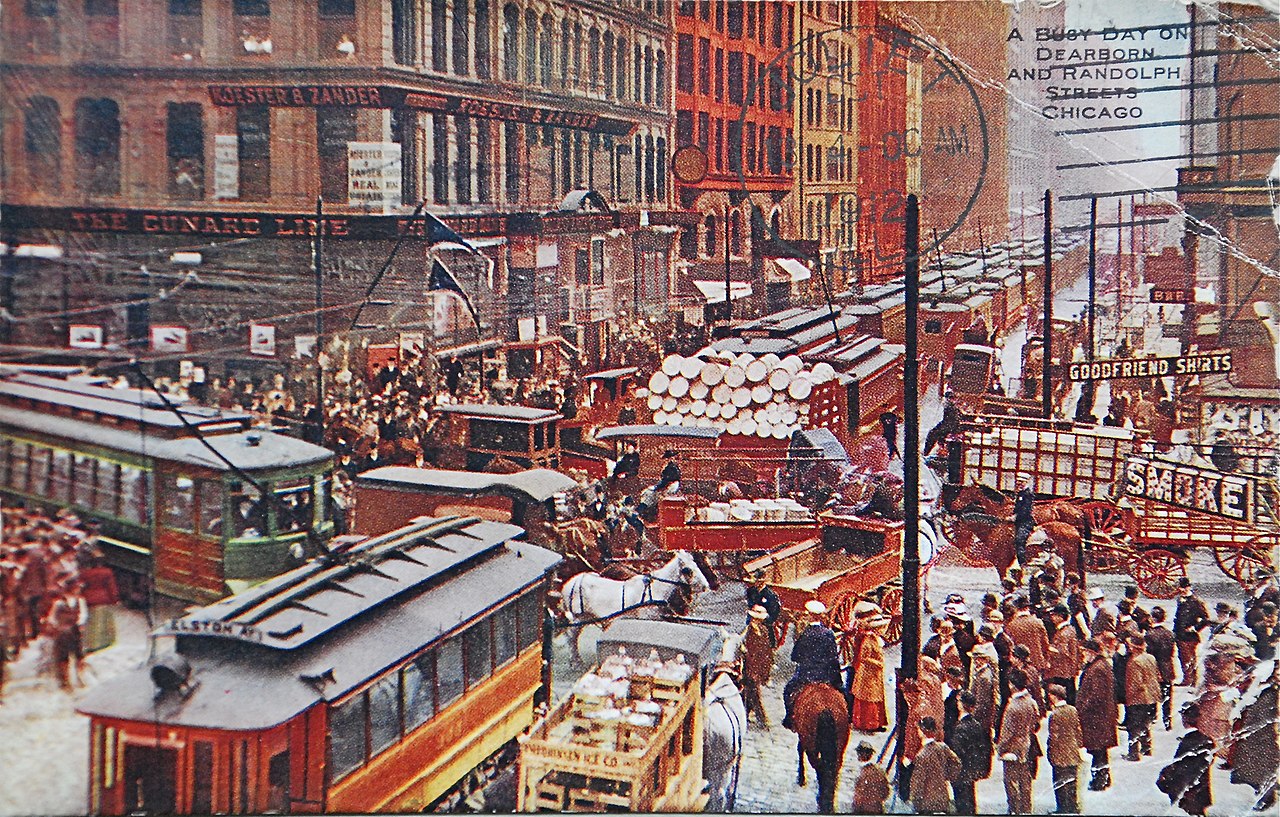
European-American settlement in what is now the Loop began in the early 19th century, when a military post known as Fort Dearborn was established on the riverbank. The neighborhood expanded rapidly in the late 19th and early 20th centuries as Chicago rebuilt after the 1871 fire and became a rail and shipping hub. The distinctive elevated rapid transit structure installed in the late 19th century concentrated commuting and commerce within the circuit of tracks and helped crystallize the Loop's identity.
Landmarks and cultural institutions
The Loop contains many of the city's best-known institutions and architectural icons. Among them are large public parks and world-class museums; performing-arts organizations; and a skyline of early skyscrapers and modern towers. Notable sites include:
- Grant Park and adjacent public spaces
- Art Institute of Chicago, a major art museum
- Cloud Gate (the reflective sculpture in Millennium Park)
- Willis Tower, once among the world’s tallest buildings
- Chicago Board of Trade Building and other financial landmarks
- Performing-arts companies such as the Chicago Symphony Orchestra, the Lyric Opera of Chicago, the Goodman Theatre, and the Joffrey Ballet
- Public institutions including the central Harold Washington Library
Government, economy and transit
The Loop is the seat of municipal and county government in Chicago and hosts a large share of the city's corporate offices, professional services and financial markets. It is also the focal point of the Chicago transit network. The elevated rail structure that encircles parts of downtown serves many commuter lines and connects with bus routes, regional rail, and lakefront pedestrian routes. That concentration of transportation, commerce and institutions makes the Loop a 24-hour node of activity, though weekday daytime populations are typically largest due to commuting patterns.
Character, uses and notable distinctions
The Loop combines historic architecture and contemporary development, with preserved early skyscrapers, monumental civic buildings and modern glass towers. It is an important cultural destination for residents and visitors alike, offering museums, concert halls, theaters, public art and large annual events in its parks. The area is also an administrative and legal hub, reflecting its role as home to city and county offices. Research and planning traditions that defined Chicago's community-area system recognized the Loop as a distinct urban nucleus, a concept still used in civic planning and tourism descriptions today.
For further reading about the city's layout, institutions and history, see resources on Chicago, the United States, and Cook County, and studies originating with institutions such as the University of Chicago that helped document the city's community-area scheme. The Chicago River and Lake Michigan remain defining natural features for the Loop's waterfront and urban form; more on those features is available via local references to the Chicago River and Lake Michigan.


See also
- List of the tallest buildings in Chicago
Related articles
Author
AlegsaOnline.com Chicago Loop — downtown core and historic commercial district Leandro Alegsa
URL: https://en.alegsaonline.com/art/19512
Sources
- courant.com : "It All Starts Downtown"
- encyclopedia.chicagohistory.org : Chicago History