Al Anbar Governorate
Iraq's largest province by area, Al Anbar occupies much of the country's western desert, with an economy tied to the Euphrates, a mainly Sunni Arab population, and a recent history shaped by conflict and recovery.
Overview
Al Anbar (Arabic: الأنبار) is the largest governorate of Iraq by land area and covers much of the country's western desert and Euphrates valley. It shares international borders with Syria, Jordan and Saudi Arabia, giving it strategic importance for cross‑border trade and security. The provincial capital is Ar Ramadi; other major urban centers include Fallujah, Hit and Al-Qa'im.
Image gallery
9 Images


Geography and administrative divisions
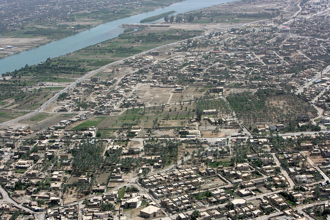
Al Anbar's landscape ranges from the irrigated plains along the middle Euphrates to an extensive arid desert. Because of its size, the governorate contains varied terrain: riverine agricultural areas that support date palms and cereals, scattered towns and large stretches of sparsely populated desert used for grazing. Administratively the governorate is divided into several districts. Major population centers and transport corridors lie along the Euphrates, while much of the western and southern areas are remote and lightly inhabited.
Major cities and districts
- Ar Ramadi (provincial capital)
- Fallujah (industrial and historic town)
- Hit (river town with nearby dams and reservoirs)
- Al-Qa'im and border districts along the Syrian frontier
- Rutbah and western desert districts
History and cultural background
The name al‑'Anbār is generally translated as "granaries" and has been applied to the region since antiquity, reflecting its historical role as an agricultural and supply area on western frontier routes and during the period of the Lakhmids and later polities (granaries). The area is culturally Arab and overwhelmingly Sunni Muslim in religious affiliation (Sunni), with tribal structures that have long shaped local society. Prominent scholars associated with the broader region include the early jurist Abu Hanifa an‑Nu‘man, linked in tradition to the development of the Hanafi school, one of the Sunni madh'habs.
Economy and infrastructure
The local economy has traditionally depended on irrigated agriculture along the Euphrates, livestock grazing, small‑scale trade and services in towns. Infrastructure includes regional highways that connect western Iraq to neighboring countries and internal routes linking provincial towns to Baghdad and other Iraqi provinces. Development and basic services have been uneven, particularly in remote desert districts where population density is low.
Modern conflicts and recovery
Since the early 21st century Al Anbar has been at the center of major political and military events in Iraq. The province witnessed intense insurgent activity following the 2003 conflict and later saw fighting involving state forces, tribal mobilizations and armed groups. In the 2010s some parts of the governorate experienced occupation by extremist forces and subsequent military campaigns to retake towns and reestablish government control. These conflicts caused large population displacements, widespread damage to housing and public infrastructure, and challenges for reconstruction. In recent years efforts by local, national and international actors have focused on stabilisation, rebuilding public services and reviving economic activity.
Notable facts and distinctions
Al Anbar is notable for its size, desert environment and strategic border location. Tribal identities—historically including the Dulaim and other clans—play an important role in local governance and social organization. Its mix of riverine oases and vast desert has made the governorate both a conduit for trade and a difficult terrain for security, factors that have shaped its modern and historical importance within Iraq.
For further reading and reference, see regional studies and official provincial resources: Arabic name and terminology, border relations with Syria and regional dynamics with Jordan and Saudi Arabia. Additional context about religious and legal traditions can be found via links on Sunni Islam, the Hanafi school and broader Sunni madh'habs, while historical notes on the region's role as granaries provide background on its long‑term economic function.
Questions and answers
Q: What is Al Anbar?
A: Al Anbar is a Western Region of Iraq.
Q: What is the size of Al Anbar?
A: Al Anbar is the largest province in Iraq by area.
Q: What countries share borders with Al Anbar?
A: Al Anbar shares borders with Syria, Jordan, and Saudi Arabia.
Q: What is the religion of the majority in Al Anbar?
A: The majority of Al Anbar's population is Sunni Muslim Arab.
Q: What is the capital of Al Anbar?
A: Ar Ramadi is the capital of Al Anbar.
Q: What is the meaning of the name of the province, Al Anbar?
A: The name of the province, Al Anbar, means "granaries" as this region was the primary entrepot on the western borders of Lakhmid Kingdom.
Q: Who is the famous theologian associated with the region of Al Anbar?
A: The famous Sunni theologian Abu Hanifa an-Nu‘man, who developed Hanafi, one of the Sunni Madh'habs (schools of thought) is associated with Al Anbar.
Related articles
Author
AlegsaOnline.com Al Anbar Governorate Leandro Alegsa
URL: https://en.alegsaonline.com/art/1854
Sources
- al-monitor.com : "Has political crisis in Iraq's Anbar reached a dead end?"
- citypopulation.de : Citypopulation.de
- statoids.com : "Provinces of Iraq"
- washingtonpost.com : "U.S. Will Reinforce Troops in West Iraq"
- iraqcoalition.org : UN Data 2003