
Central Luzon (Region III) — agricultural heart and central plain of Luzon
Central Luzon (Region III) is a major Philippine region on Luzon island, noted for the country’s largest plain, extensive rice production, historic sites, industrial zones and cultural traditions.
Overview
Central Luzon, officially designated Region III, occupies the central portion of the island of Luzon. In Filipino it is often referred to as Gitnang Luzon. The region functions as an important agricultural hub and a growing centre for industry and logistics because of its flat terrain and proximity to the greater Manila area.
Image gallery
10 Images





Geography and environment
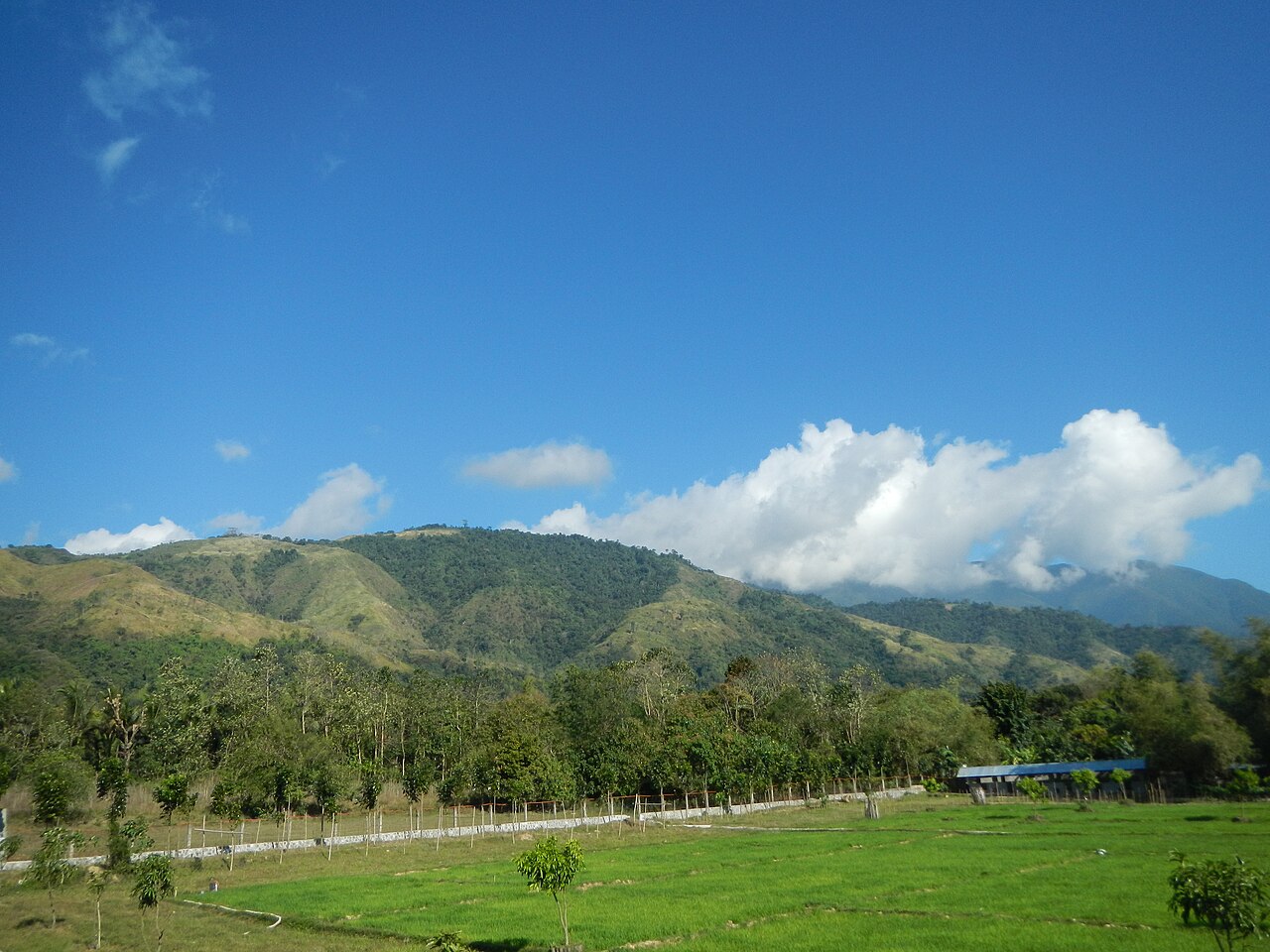
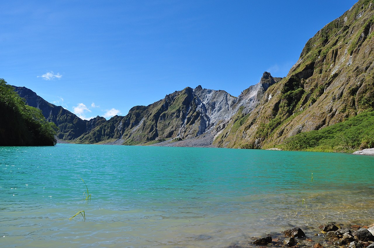
Central Luzon contains the Philippines' most extensive contiguous lowland, commonly described as the region's large plain. This flat area supports intensive wet-rice farming and other crops; descriptions of the area often refer to it as the nation's rice granary (largest plain, rice production). The region also includes coastal areas, mountain ranges to the west and east, and important river systems that feed its irrigated fields.
Administrative divisions
The region is made up of several provinces and numerous municipalities. Principal provinces include:
Economy and land use
Agriculture remains a dominant activity, with extensive irrigated rice fields and ancillary industries such as milling and food processing. In recent decades the region has diversified: industrial estates, export-processing zones, and mixed-use developments — notably around former military facilities and ports — have become major employment centres. Tourism, services and small-scale manufacturing are also significant.
History, culture and notable sites
Central Luzon has a layered history, from precolonial settlements to Spanish-era towns and sites from the Second World War. Cultural life is marked by strong provincial identities, local festivals, culinary traditions and crafts. Cities and towns in the region host museums, historic markers and annual events that reflect local heritage.
Transport and contemporary importance
The flat terrain has enabled major road and rail corridors connecting the region with Metro Manila and northern Luzon. Airports, seaports and special economic zones in the area support trade and investment. Environmental issues such as flood management, land-use change and sustainable irrigation remain priorities for planning and development.
Further reading: For regional maps, administrative details and travel information consult official resources and regional planning documents via links provided by local authorities and national agencies.
Questions and answers
Q: What is Central Luzon?
A: Central Luzon is the central part of Luzon which is designated as Region III or Region 3.
Q: What is the main agricultural produce of Central Luzon?
A: Central Luzon produces the most of the country's rice supply.
Q: Which provinces fall under Central Luzon in the Philippines?
A: The provinces that fall under Central Luzon in the Philippines are Aurora, Bataan, Bulacan, Nueva Ecija, Pampanga, Tarlac, and Zambales.
Q: What is the significance of the plain in Central Luzon?
A: The plain in Central Luzon is the largest in the country.
Q: What is the main agricultural activity in Central Luzon?
A: The main agricultural activity in Central Luzon is rice farming.
Q: What is the population of Central Luzon?
A: The population of Central Luzon is not given in the text.
Q: What are the nearest regions to Central Luzon?
A: The nearest regions to Central Luzon are Ilocos Region to the north and Calabarzon to the south.
Related articles
Author
AlegsaOnline.com Central Luzon (Region III) — agricultural heart and central plain of Luzon Leandro Alegsa
URL: https://en.alegsaonline.com/art/18055
Sources
- flagspot.net : "Central Luzon, Region III, Philippines"
- evis.net.ph : "Region III, Central Luzon, Geographical Location"
- nscb.gov.ph : "REGION III (Central Luzon)"
- elibrary.judiciary.gov.ph : "EXECUTIVE ORDER NO. 103, December 24, 1986"
- psa.gov.ph : "Central Luzon: The Third Biggest Region"
- nscb.gov.ph : "List of Regions"