
Cartography: The science, craft, and history of mapmaking
Cartography is the practice of designing and producing maps. This article describes map types, core elements, historical development, modern techniques (GIS, remote sensing) and common uses.
Cartography is the study and practice of making maps. It combines technical skills, such as measurement and projection, with visual design so geographic information can be read, understood and used. A cartographer arranges symbols, colors, labels and scale to represent real-world features on a flat surface while communicating spatial relationships clearly. Cartography overlaps with geography, surveying, and computer-based mapping, but it is distinct in its emphasis on map design and visual communication.
Image gallery
10 Images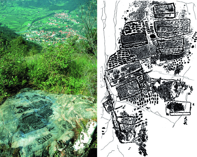




Core characteristics and common elements
Maps convey location, direction, distance and thematic information through a set of standard elements. Typical components include a title, legend (or key), scale indicator, a north arrow or orientation marker, coordinate grids or references, and consistent symbolization. Cartographers must also choose a map projection to translate curved surfaces to a plane; that choice affects shape, area, distance or direction and is a fundamental trade-off in map design. Color, line weight, typographic hierarchy and symbol size are used intentionally to guide interpretation.
Types of maps
- General-reference maps show a variety of geographic features for navigation or overview, such as topographic maps or road maps.
- Thematic maps emphasize a particular subject—population density, land use, climate or election results—and are designed to reveal patterns or relationships.
- Other specialized maps include nautical charts, cadastral maps (property boundaries), and interactive web maps produced with software and databases.
Modern cartography increasingly blends traditional mapmaking with computer-based tools to produce dynamic, layered and interactive maps.
History and development
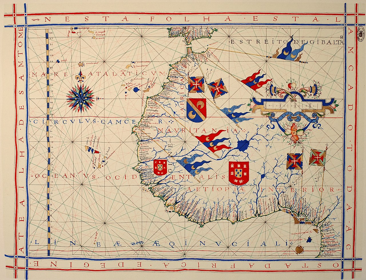
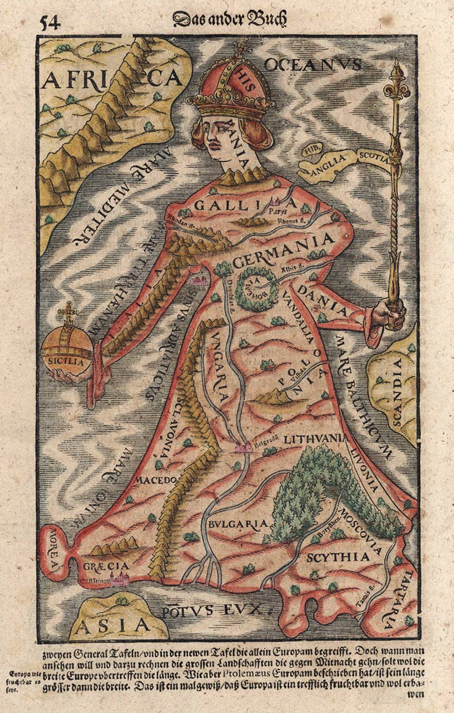
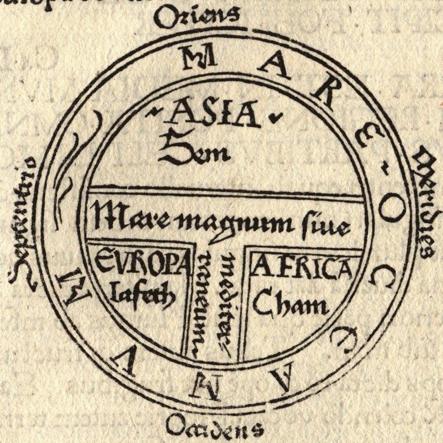
Humans have made maps for millennia: early maps recorded local routes, fields and celestial observations. Classical and medieval scholars compiled increasingly detailed geographic works, and the Age of Exploration drove advances in projection and coastal charting. The invention of printing made maps widely reproducible, and later developments in surveying, aerial photography and satellite remote sensing changed how spatial data are captured. The rise of geographic information systems (GIS) transformed cartography again, enabling large databases and algorithmic map production that can be styled for many purposes.
Modern methods and technologies
Contemporary mapmaking relies on diverse data sources and processing techniques. Surveying and field measurement provide accurate ground control; remote sensing and satellites supply imagery and elevation data; national mapping agencies produce authoritative basemaps in series at varying scales. Cartographers use GIS and specialized graphics tools to analyze spatial patterns, design map layouts, and publish maps digitally or in print. Interactive web maps allow pan/zoom, layer toggling and linked data, expanding how audiences engage with geographic information. See resources on digital tools and standards via mapping agencies and technical guides at professional sites.
Uses, examples and notable distinctions
Maps serve navigation, planning, scientific analysis, policy-making and public communication. Thematic cartography is essential for epidemiology, urban planning and environmental management because it visualizes relationships across space. Distinct from raw spatial data, a good map is a product: it interprets, emphasizes and sometimes simplifies to make a message clear. Ethical cartography acknowledges choices about what to show, how to symbolize populations, and how projection or scale may influence perception.
For further reading on specialized topics—map projections, thematic techniques, historical atlases and modern GIS workflows—consult introductory references and institutional resources such as academic collections, technical standards portals at standards bodies, and software documentation at digital tool providers. Whether sketched on a napkin or produced by a national mapping office, cartography remains the principal means by which people organise and share geographic knowledge.
Questions and answers
Q: What is cartography?
A: Cartography is the process of making maps.
Q: How have map-making methods changed over time?
A: In the past, maps were drawn by hand, but today most printed maps are made using computers and people usually see maps on computer screens.
Q: Who makes maps?
A: Someone who makes maps is called a cartographer. Anyone can make a map, but cartographers spend their lives learning how to make better maps.
Q: What materials were used to make traditional paper or parchment maps?
A: For many centuries, paper or parchment was used to carefully draw out traditional paper or parchment maps.
Q: Are there different types of maps?
A: Yes, there are two main types of maps - general and thematic. General maps show a variety of features while thematic ones focus on particular themes for specific audiences.
Q: How detailed are government-produced general scale and smaller scale general type of map?
A: Governments produce general type of map in larger-scale and smaller-scale with great detail.
Q:What purpose do thematic type of map serve ? A:Thematic type of map serve to show spatial , cultural and social data .
Related articles
Author
AlegsaOnline.com Cartography: The science, craft, and history of mapmaking Leandro Alegsa
URL: https://en.alegsaonline.com/art/17342
Sources
- commons.wikimedia.org : Cartography
- discovermagazine.com : "A Tale of two obsessed archeologists, one ancient city, and nagging doubts about whether science can ever hope to reveal the past"
- jstor.org : 20065543