
Cap-Haïtien (Le Cap) — northern Haitian port city and historical center
Coastal city in northern Haiti known as Le Cap; regional capital, former colonial center, gateway to UNESCO sites, and an economic and cultural hub on the Atlantic coast.
Overview
Cap-Haïtien, commonly called Le Cap and known in Creole as Kap Ayisyen / Okap, is a major city in northern Haiti. It serves as the principal urban center and administrative capital of the Nord Département. Historically and today it functions as a regional port, cultural hub, and a focal point for travel to northern heritage sites.
Image gallery
10 Images





Geography and layout
The city lies on the coast of Cap-Haïtien Bay, opening onto the Atlantic Ocean, with a mix of coastal plain and rising terrain to the west. It stands roughly north of the national capital, Port-au-Prince, connected by road and air links that support commerce and tourism. The urban core is clustered between the bay and nearby hills, with neighborhoods that retain traces of colonial street patterns.
Administration and districts
Cap-Haïtien is the chief town of an arrondissement of the same name. The arrondissement is subdivided into communes—local municipal entities—each with its own local government and services. The three communes are listed below:
- Cap-Haïtien (central commune)
- Limonade
- Quartier-Morin
History and historical importance
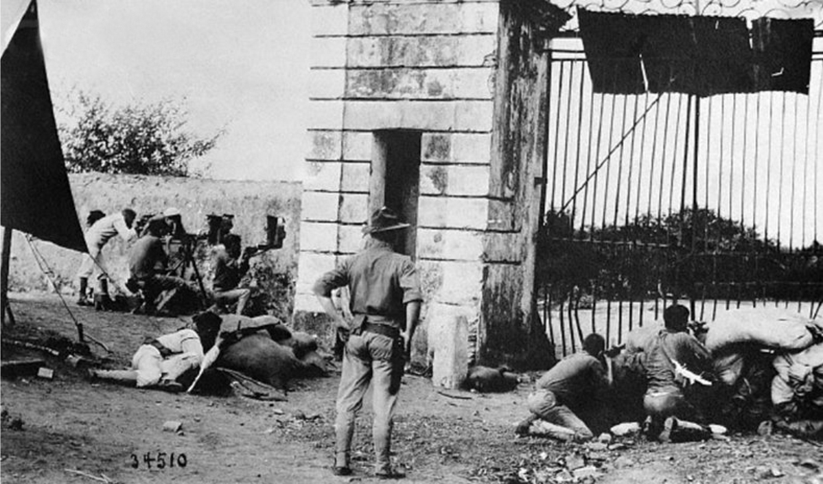
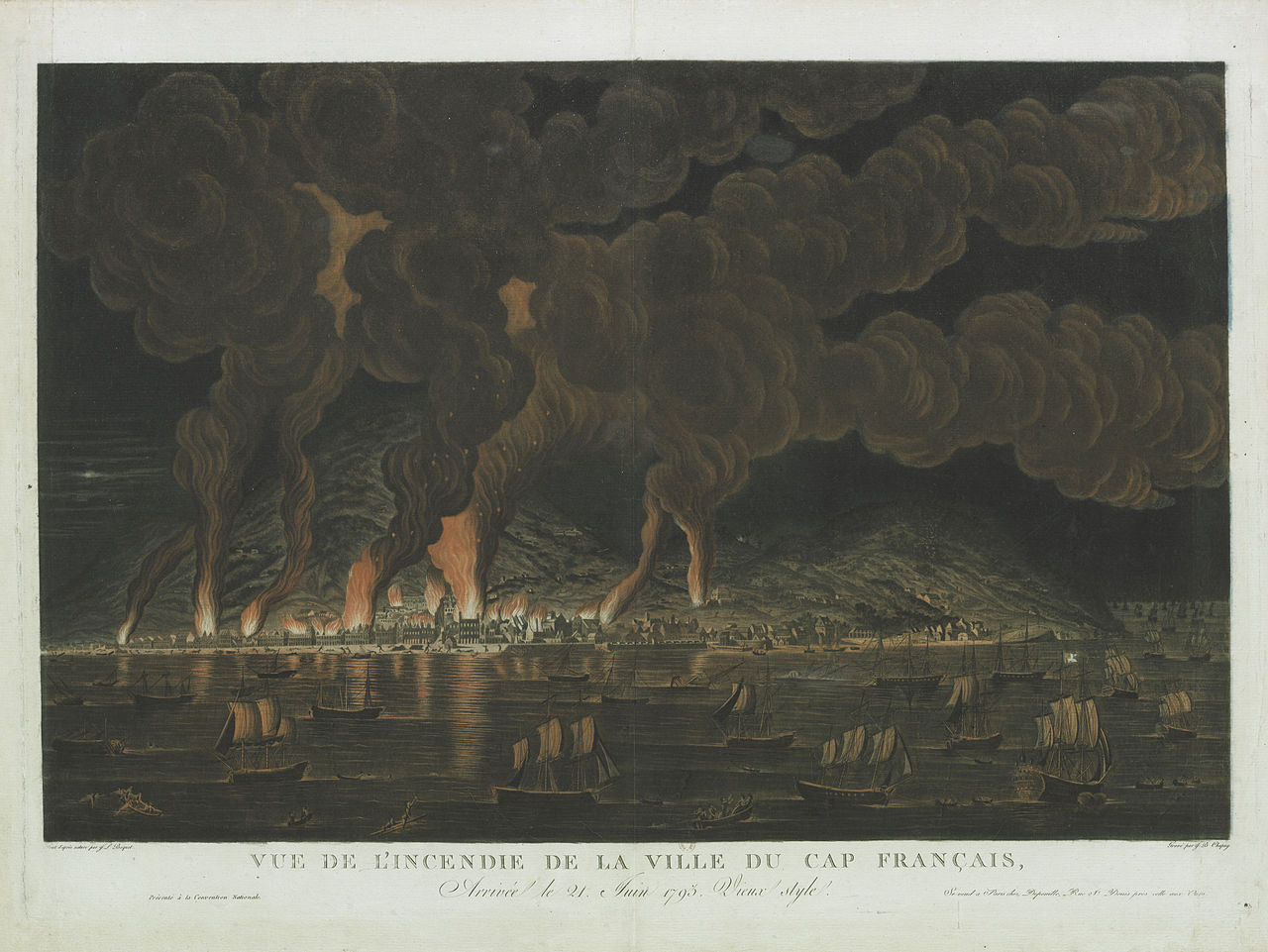
During the colonial period Cap-Haïtien (often called Cap-Français) was one of the most important towns in the French colony of Saint-Domingue and a center of trade and plantation administration. The area played a prominent role in the Haitian Revolution; nearby battlefields and fortifications mark events that led to Haiti's independence in the early 19th century. Within easy travel distance are major historical sites associated with that era, including the mountain Citadelle and royal residence complex recognized for their cultural value.
Culture, economy and transport
The city's economy blends port activities, local commerce, agriculture from surrounding plains, and growing tourism. Historic architecture, churches and narrow streets attract visitors, while markets and festivals reflect a mix of African, European and Creole influences. Transport links include roads to other northern towns and an international airport that facilitates both domestic and regional flights.
Notable features and distinctions
Cap-Haïtien is noted for its colonial-era character, proximity to UNESCO-listed historical parks, and its role as a gateway to northern Haiti's tourist and cultural attractions. Its coastal position on the Atlantic gives it a different maritime climate and trade orientation than the Caribbean-facing south, contributing to distinct economic patterns and local traditions.
Questions and answers
Q: What is Cap-Haïtien?
A: Cap-Haïtien is a city in northern Haiti and it is the capital of the Nord Département.
Q: In which part of Haiti is Cap-Haïtien located?
A: Cap-Haïtien is located in northern Haiti.
Q: What is the distance between Cap-Haïtien and Port-au-Prince?
A: Cap-Haïtien is about 260 km north of the Haitian capital Port-au-Prince.
Q: What bodies of water is Cap-Haïtien located near?
A: Cap-Haïtien is located on the coast of the Cap-Haïtien Bay on the Atlantic Ocean.
Q: What are the communes that make up the Cap-Haïtien arrondissement?
A: The Cap-Haïtien arrondissement has three communes: Cap-Haïtien, Limonade, and Quartier-Morin.
Q: What is an arrondissement?
A: An arrondissement is a part of a department in Haiti.
Q: What are the geographical features surrounding Cap-Haïtien?
A: The central part of Cap-Haïtien is situated between the Cap-Haïtien Bay to the east and mountains to the west.
Related articles
Author
AlegsaOnline.com Cap-Haïtien (Le Cap) — northern Haitian port city and historical center Leandro Alegsa
URL: https://en.alegsaonline.com/art/16686
Sources
- commons.wikimedia.org : Cap-Haitien
- gallica.bnf.fr : Description topographique, physique, civile, politique et historique de la partie française de l'isle Saint-Domingue