Aiguille de Chambeyron
Aiguille de Chambeyron is a prominent needle‑shaped peak in the southern Alps near the France–Italy border, above 3,000 m, known for steep ridges, alpine climbing routes and its position between Rhône and Po basins.
Overview
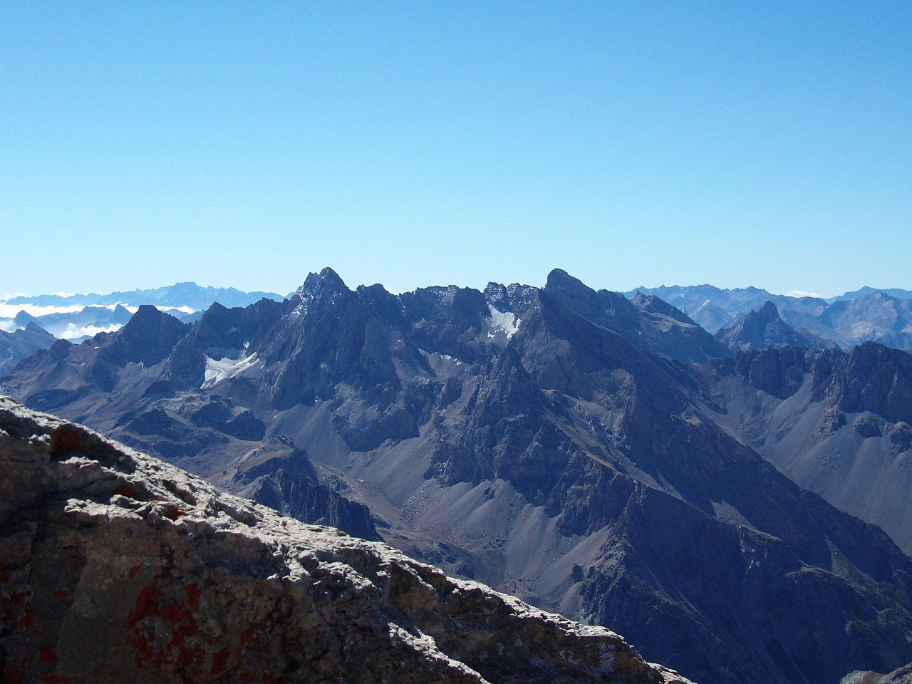
The Aiguille de Chambeyron is a notable summit in the southern Alps, lying close to the France–Italy border. Its name, with the French word "aiguille" meaning "needle", reflects the peak's sharp, pointed profile that stands out from surrounding ridges. The mountain rises to well over 3,000 metres and is the highest summit in the portion of the Alps lying south of Monte Viso. Its prominence and form make it a landmark for hikers, mountaineers and local communities.
Image gallery
3 Images

Location and access
The peak is located just west of the main Alpine watershed that separates the Rhône basin to the west from the Po basin to the east. This position means that routes and approaches may start from valleys on either side of the divide. Practical route and topo information can be found in regional maps and guides; consult topographic resources and local regional guides before planning an ascent.
Geology and morphology
The Aiguille de Chambeyron is composed of hard metamorphic and igneous rocks that help form its steep ridges and often exposed faces. Erosion, frost action and glacial sculpting have contributed to the craggy, serrated skyline. Snowfields and the remnants of small cirque glaciers can persist on shaded aspects, and summer conditions often leave mixed terrain of rock and firn near the summit.
Hydrology and environment
Because the mountain sits close to the watershed between two major European drainage systems, precipitation falling on opposite slopes contributes to very different river networks: waters from the western side eventually join the Rhône system, while eastern runoff reaches the Po basin. The surrounding high‑alpine environment supports specialized plant and animal communities adapted to short growing seasons and severe winters.
Mountaineering
Aiguille de Chambeyron attracts climbers and experienced hikers. Routes range from demanding scrambles on the easier ridgelines to more technical climbs on steeper faces. Typical ascents begin from nearby valleys and alpine huts; guidebooks, route descriptions and current reports are essential preparatory reading. See detailed route descriptions and local safety information for conditions and recommended equipment. Weather changes rapidly at altitude, and objective hazards such as loose rock and late snowfields should be respected.
Cultural and conservation context
The mountain is associated with traditional pastoralism and the history of Alpine exploration in the region. It lies within landscapes valued for outdoor recreation and biodiversity; parts of the area may be subject to conservation measures or park regulations to protect fragile habitats and to manage visitor impact. For administrative and conservation details consult regional park authorities and local historical resources.
Practical information
- Best season: summer to early autumn for non‑glaciated approaches; winter and spring climbs require full alpine experience and equipment.
- Approach: use established trailheads and mountain huts; allow time for acclimatisation and route finding.
- Resources: check mountain weather services, recent trip reports and alpine portals such as alpine portals for updates.
This entry provides an overview; for technical climbs, route grades, current conditions and access rules consult specialised guidebooks, local offices and the links above. Respect local regulations and the natural environment when visiting.
Questions and answers
Q: Where is Aiguille de Chambeyron located?
A: Aiguille de Chambeyron is located near the border between France and Italy, to the west of the main chain of the Alps.
Q: What separates the basin of the Rhône river?
A: The main chain of the Alps separates the basin of the Rhône river to the west.
Q: What separates the basin of the Po river?
A: The main chain of the Alps separates the basin of the Po river to the east.
Q: What is Aiguille de Chambeyron known for?
A: Aiguille de Chambeyron is known for being the highest peak in the Alps south of Monte Viso.
Q: How high is Aiguille de Chambeyron?
A: The exact height of Aiguille de Chambeyron is not given in the text.
Q: Is Aiguille de Chambeyron a popular tourist destination?
A: There is no information in the text about whether Aiguille de Chambeyron is a popular tourist destination.
Q: Is Aiguille de Chambeyron located entirely within France?
A: There is no information in the text about whether Aiguille de Chambeyron is located entirely within France.
Tags
Related articles
Author
AlegsaOnline.com Aiguille de Chambeyron Leandro Alegsa
URL: https://en.alegsaonline.com/art/1550
Sources
- peakbagger.com : "Aiguille de Chambeyron, France"
- peakware.com : "Aiguille de Chambeyron, France"
- summitpost.org : "Aiguille de Chambeyron"
- altituderando.com : "Aiguille de Chambeyron"