Burgundy (Bourgogne): Region, History, and Cultural Significance
Burgundy (Bourgogne) is a historic region of eastern France known for its wines, medieval duchy, and cultural heritage; since 2016 it is part of Bourgogne-Franche-Comté, with Dijon as its traditional capital.
Overview
Burgundy, in French Bourgogne, is a historical and former administrative region in France. In the 2016 reorganisation of French regions it became part of the larger administrative region Bourgogne-Franche-Comté. The name also denotes the long-established cultural and viticultural territory in eastern France known for its distinctive wines and medieval legacy. The demonym and adjective in French is Bourguignon.
Image gallery
10 Images


Geography and subdivisions
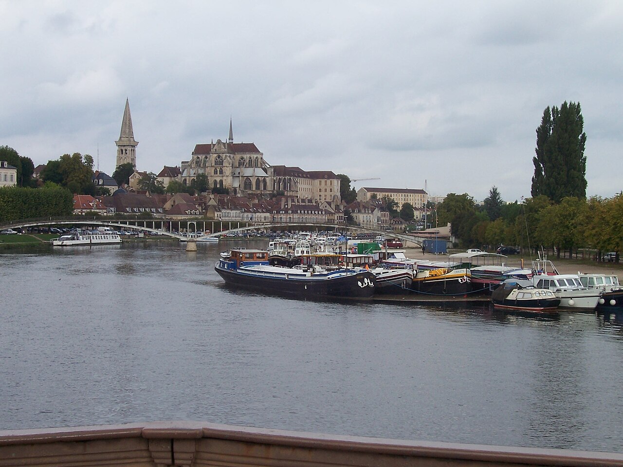
Burgundy covered about 31,500 square kilometres, roughly six percent of metropolitan France, and included a varied landscape of river valleys, limestone plateaus and wooded hills. Its traditional administrative structure comprised four departments governed as part of the region: a general list follows.
The city of Dijon served as the regional capital and remains an important cultural and administrative center.
History and identity
As a historical entity, Burgundy has roots in the early medieval period and later became the powerful Duchy of Burgundy, influential in the late Middle Ages through dynastic ties and territorial expansion. The duchy was a major political and cultural player in Europe, fostering art, architecture and court culture. Over centuries the historic boundaries, institutions and economic patterns evolved, but a distinct Burgundian identity persisted through language, cuisine and regional traditions.
Economy, culture and wine
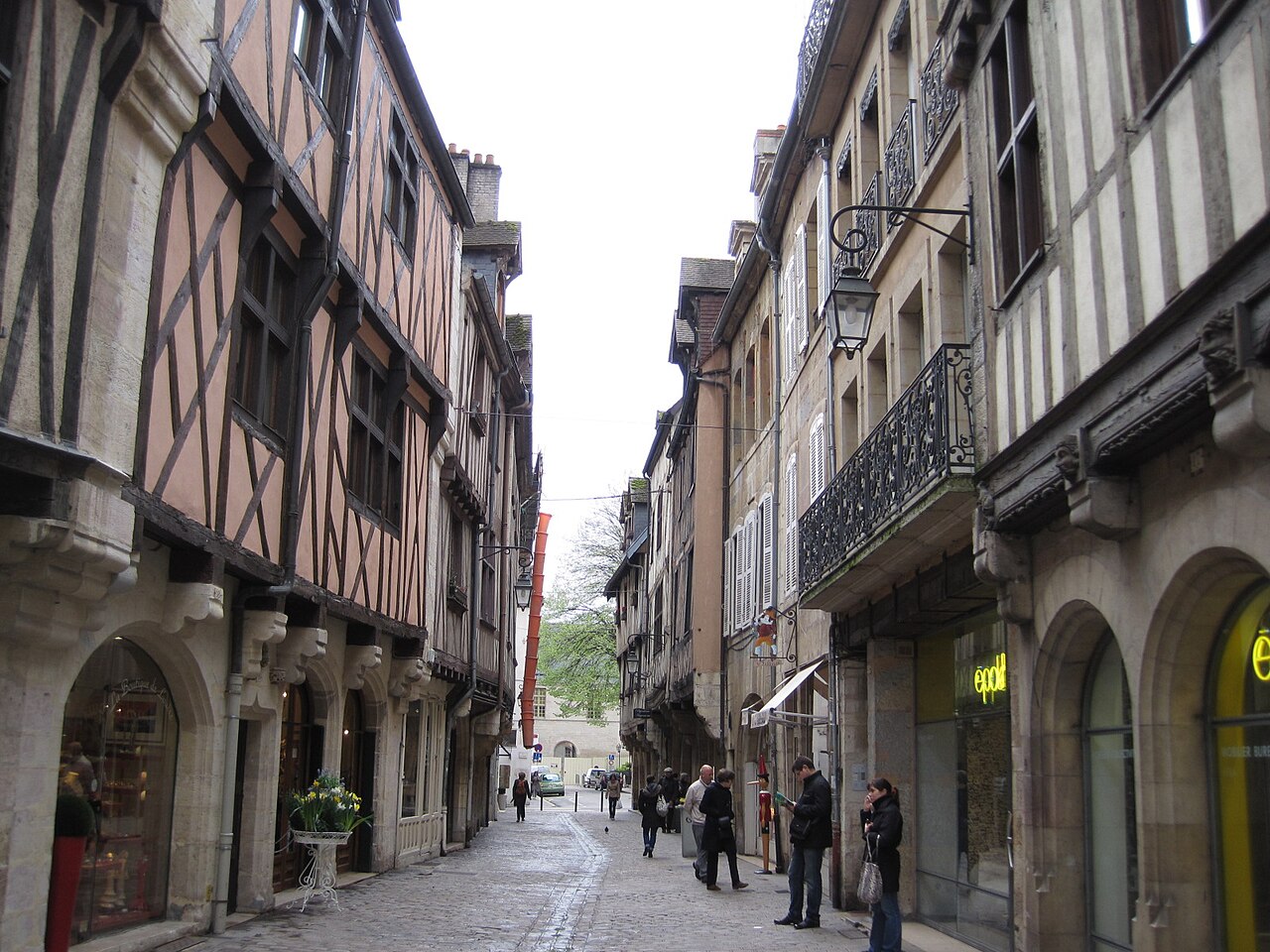
Burgundy's economy has long combined agriculture, particularly viticulture, with industry and services. The region's vineyards are internationally celebrated; Burgundy wines are classically associated with grape varieties such as Pinot Noir and Chardonnay, and its classification system emphasizes terroir and village origin. Beyond wine, Burgundy is known for culinary specialties, historic monasteries, Romanesque churches and preserved urban centers that attract tourism.
Notable facts and modern status
Today Burgundy's administrative functions operate within the larger Bourgogne-Franche-Comté framework, but the historical, cultural and economic importance of the Burgundian territory is still recognized. Visitors and scholars study its medieval archives, sample its wines and explore landscapes that reflect centuries of human influence. For further regional information see the regional overview and departmental resources provided by official and cultural sites.
For general reference about the region and its departments consult regional portals and cultural guides: historic region, eastern France context.
Geography
To the east, Burgundy is bordered by the Franche-Comté region, and to the north by Champagne-Ardenne and Île-de-France. To the west is the Centre-Val de Loire region, while to the south are the Auvergne and Rhône-Alpes regions.
Burgundy, with the Morvan, a spur of the Massif Central, has a share in the ancient crystalline areas. Otherwise, Mesozoic sediments (mostly from the Jura) form the bedrock. On the eastern flank, fracture steps lead to the Saône furrow.
The Burgundian Gate, as the name of the natural depression between the Vosges and the Jura, does not border the present-day region of Burgundy, but the Free County, and thus refers to the name historically assigned to different areas.
History
→ Main article: Burgundian history
The history of today's French region of Burgundy must be distinguished from the complex development of the various territories whose name has been associated at certain times since the time of the migration of peoples with the name of the East Germanic tribe of the Burgundians; today's region, as a geographically and culturally evolved unit with a core area in the Saône basin, which largely corresponds to the Duchy of Burgundy that existed from the 10th century until the French Revolution, is the only large geographical unit that still refers to this tradition by name today. The following refers largely to this area, but the delimitation of the historical region has been more mobile over 1500 years than that of almost any other European region.
Early history
The present region was already inhabited by people in the Palaeolithic Age. Finds at the rock of Solutré prove a dense settlement already for the time around 15,000 BC. But already at the time of the Neanderthals and the first modern humans from about 40,000 years ago, there is increasing evidence of sites, for example the Grottes-de-la-Verpillière I and II near Germolles, Mellecey.
From the 6th century BC until the arrival of the Romans, the Celtic culture of the Gauls is predominant, represented mainly by the Haeduians and the Mandubians, who are mentioned in Caesar's De bello Gallico. Important settlements of the tribes were Bibracte near today's Autun and Alesia near Dijon.
Roman times
Around 59 BC, the Romans under Caesar defeated the Helvetii and other Gallic tribes at Bibracte (now Saint-Léger-sous-Beuvray), on Mont Beuvray, between Autun and Le Creusot. In 52 BC, the Romans, again under Caesar, put down the Gallic revolt under Vercingetorix at Alesia, now Alise-Sainte-Reine. This was followed by the incorporation of Gaul into the Roman Empire and the slow linguistic and cultural Romanization of its inhabitants.
Around 43 BC Augustodunum (Autun) was founded. Around 280, viticulture began in the region.
After the battle of the Catalaunian Fields in 451, the Burgundians - coming from the north - settled in the region with the toleration of the Romans. However, the capital of the Burgundian Empire was initially Genava (Geneva).
Frankish region
Since 534, the name Burgundia denoted a Frankish sub-kingdom (Kingdom of Burgundy), which was cut into eastern and western halves in the Treaty of Verdun in 843 when the Frankish Empire was divided: In the east (largely around Lake Geneva), the new Kingdom of Burgundy (Hochburgund) was created; in the west, a French feudal duchy was created, which is the starting point for today's region.
Duchy and Province
The Duchy of Burgundy was ruled by a collateral line of the French royal house, the Capetians, from 1032 to 1361 (Elder House of Burgundy). It passed to Philip of Valois in 1363, who founded the House of Burgundy as a collateral line of the French royal house of Valois. This House of Burgundy set about extensive territorial expansion, which led to the formation of an intermediate kingdom between France and the Holy Roman Empire, the southern part of which was the old Duchy of Burgundy and, for a time, the Free County, and the northern part of which was the Netherlands. After the death of the last male duke from the House of Valois, Charles the Bold, in the Burgundian Wars (1477), this ruling complex was divided. The House of Habsburg, through the marriage of Maximilian to Charles the Bold's heiress daughter, Mary of Burgundy, secured the (economically) most important parts of the realm, namely Flanders and the Free County. The duchy itself, however, i.e. the western part of the Burgundian core territory, was reclaimed by the French crown as a man fief, since the dukedom had fallen to Charles the Bold's daughter Mary of Burgundy. The duchy was not re-conferred throughout the Ancien Régime, but was part of the French Crown's own dominions. However, it did not become part of the Domaine royal, but remained self-governing as a province with its own parlement.
See also: Burgundian history#Duchy, Free County and Netherlands (10th-17th century)
Dissolution after the French Revolution (1790)
The Duchy was dissolved after the French Revolution in the course of the division of the state into départements in 1790; with it the designation Burgundy for a political-administrative unit disappeared.
Igamie Dijon (1948-1964)
After the Second World War, on 21 March 1948, a number of departments of France were each grouped together under the supervision of a special envoy of the central government (acronym: IGAME) to form larger territorial confederations known as Igamies. Among them was the Igamie Dijon, which comprised the eight départements that later became the French regions of Bourgogne and Franche-Comté, thus for the first time since the early Middle Ages abolishing the administrative division between the western and eastern heartlands of Burgundy. The Igamie existed until 1964.
French Region (1956-2015)
When France was divided into programme regions in 1956, the region of Burgundy (Bourgogne) was formed from four départements in its current boundaries. In 1972, the region was given the status of an établissements public under the direction of a regional prefect. The decentralisation laws of 1982 also gave the Burgundy Region the status of a territorial collectivity (territorial entity), which had previously been held only by the communes and the départements. In 1986, the Burgundy Regional Council was elected by direct universal suffrage for the first time. Since then, the region's powers vis-à-vis the central government in Paris have been gradually extended.
The region has been linked to the German state of Rhineland-Palatinate by a regional partnership since 1962, which was institutionalised with the CRB Haus Burgund in Mainz. The Prime Minister Kurt Beck was declared an honorary citizen of Burgundy in 2012 on the 50th anniversary of the partnership.
On 1 January 2016, the Burgundy region merged with the neighbouring Franche-Comté region to form the Bourgogne-Franche-Comté region.


Questions and answers
Q: Where is Burgundy located?
A: Burgundy is a former administrative region of France, now part of the administrative region of Bourgogne-Franche-Comté. It is an historic region in eastern France.
Q: What is the French adjective and name for the inhabitants of this region?
A: The French adjective and name for the inhabitants of this region is Bourguignon.
Q: How large is Burgundy?
A: With over 31,500 square kilometres (12,200 sq mi), it is one of the largest regions in France, covering about 6% of the territory of the country.
Q: What are the four departments that make up Burgundy?
A: The four departments that make up Burgundy are Côte-d'Or, Nièvre, Saône-et-Loire and Yonne.
Q: What city serves as capital for Burgundy?
A: The capital city for Burgundy is Dijon.
Q: Is there any other notable information about Burgundy?
A: Yes - it has been an historic region in eastern France since ancient times.
Tags
Related articles
Author
AlegsaOnline.com Burgundy (Bourgogne): Region, History, and Cultural Significance Leandro Alegsa
URL: https://en.alegsaonline.com/art/15426
Sources
- citypopulation.de : "France: Bourgogne [Burgundy]"
- peakbagger.com : "Haut Folin, France"
- insee.fr : "Populations légales 2012 des départements et des collectivités d'outre-mer"