
Brunei‑Muara District
Brunei‑Muara is Brunei's smallest district by area and its most populous; it contains the national capital, major administrative centers and the country's principal port.
Overview
Brunei‑Muara is one of the districts of Brunei and serves as the political and economic heart of the country. Although it is the smallest district in land area, it contains the national capital, Bandar Seri Begawan, and accommodates the largest share of Brunei's population. The district combines urban neighborhoods, suburban communities and traditional riverine settlements.
Image gallery
10 Images


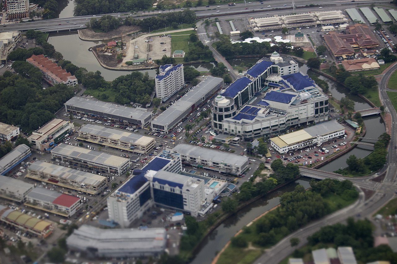


Geography and urban character
Located on the northern coast of Borneo, Brunei‑Muara includes coastal plains, estuaries and the mouth of the Brunei River. Much of the district has been developed for housing, government institutions, commercial centers and port facilities. Prominent urban areas and suburbs include Gadong, Kianggeh and Mentiri, which host shopping, administrative and recreational functions used by residents and visitors.
Administration and mukims
The district is divided into several administrative subdistricts known as mukims; a commonly cited organisation (as of mid‑2007) lists eighteen mukims. These subdivisions range from fully urban wards to traditional village communities, including parts of the historic water settlement often called Kampong Ayer.
- Berakas A
- Berakas B
- Gadong A
- Gadong B
- Kianggeh
- Kilanas
- Kota Batu
- Lumapas
- Mentiri
- Pengkalan Batu
- Sengkurong
- Serasa
- Burong Pingai Ayer (water village)
- Peramu (water village)
- Saba (water village)
- Sungai Kebun (water village)
- Sungai Kedayan (water village)
- Tamoi (water village)
For further detail on local governance and the role of mukims within municipal planning, see general references about mukims.
Economy and infrastructure
Brunei‑Muara functions as the administrative and commercial hub of the country. Many ministries, diplomatic missions and service industries are concentrated here. The district also hosts the principal maritime facility, Muara Port, which is Brunei's largest and deepest port and supports international trade, fishing and naval activities. Retail centers, markets and small manufacturing complement government and service employment.
History, culture and notable features
The area around Bandar Seri Begawan has been central to Bruneian history, governance and culture for centuries. One of the district's distinctive elements is Kampong Ayer, the traditional water village built on stilts along the Brunei River; several mukims include sections of this settlement. The district mixes contemporary urban development with sites of cultural importance, mosques, museums and public parks that reflect Brunei's heritage and contemporary life.
Visitors and students of the country often begin in Brunei‑Muara because it concentrates political institutions, cultural attractions and transport connections that provide an introduction to the wider nation.
Questions and answers
Q: Where is the Brunei-Muara district located?
A: The Brunei-Muara district is located in Brunei.
Q: What is the capital city of Brunei-Muara district?
A: The capital city of Brunei-Muara district is Bandar Seri Begawan.
Q: What is the size of the Brunei-Muara district?
A: The Brunei-Muara district is the smallest district in Brunei.
Q: What is the population of the Brunei-Muara district?
A: The Brunei-Muara district has the most people in Brunei.
Q: What is the name of the largest and deepest port in Brunei?
A: The largest and deepest port in Brunei is the Muara Port.
Q: How many mukims are there in the Brunei-Muara district?
A: As of July 2007, there are 18 mukims or subdistricts in the Brunei-Muara district.
Q: What are water village mukims?
A: Water village mukims are a type of mukim in Brunei-Muara district that are located in water villages.
Related articles
Author
AlegsaOnline.com Brunei‑Muara District Leandro Alegsa
URL: https://en.alegsaonline.com/art/14875
Sources
- depd.gov.bn : Sheet T4
- pos.gov.bn : "Archived copy" · web.archive.org
- tools.wmflabs.org : 4°54′N 114°54′E / 4.9°N 114.9°E / 4.9; 114.9