M65 motorway (Lancashire, England)
East–west motorway in Lancashire linking the M6 near Preston to the A56 at Colne, about 26 miles long. Serves Blackburn, Burnley and surrounding towns; important for regional traffic and freight.
Overview
The M65 is an east–west motorway located entirely within Lancashire, in north‑west England. It runs for roughly 26 miles (about 42 km) and provides a continuous high‑speed route between the national motorway network and towns across East Lancashire. The route begins where it meets the M6 near Preston and finishes at Colne, where it connects to the A56 heading towards Harrogate.
Image gallery
2 Images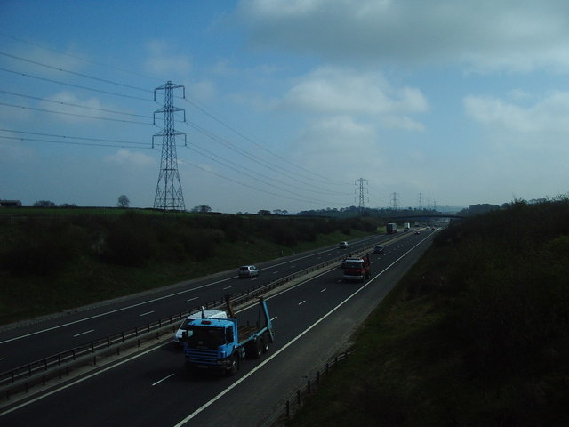

Route and characteristics
The M65 crosses several major corridors, including a junction with the M61, and runs past or close to key urban centres such as Blackburn and Burnley. Most of the carriageway is dual carriageway motorway standard designed to carry a mix of local commuter traffic and longer‑distance freight. Junctions provide access to surrounding primary routes and regional industrial areas.
History and development
Construction of the motorway took place in stages during the latter part of the 20th century and into the late 20th century, with sections opening progressively to improve east‑west connectivity across Lancashire. Over time the M65 has been the focus of targeted improvement works and junction upgrades to respond to changing traffic patterns and local development.
Uses and regional importance
The M65 plays a practical role for commuters, business travel and goods movement between towns in East Lancashire and the broader national network via the M6 and M61. It supports local economies by improving access to industrial estates, distribution centres and town centres, and helps to relieve traffic on smaller A‑roads running parallel to it.
Notable facts and considerations
- The motorway links several distinct communities and is an important artery for regional transport planning.
- It terminates at Colne and continues as the A56 toward destinations including Harrogate, giving a direct route from the motorway network into Yorkshire.
- Sections have been subject to improvement and management schemes to maintain safety and traffic flow.
For maps, junction lists and live traffic information consult official transport resources or regional highway authorities via the links above.
Questions and answers
Q: What is the M65 motorway?
A: The M65 is a motorway in Lancashire, England.
Q: Where does the M65 motorway start?
A: The M65 motorway starts from the M6 near Preston.
Q: Does the M65 motorway pass Blackburn and Burnley?
A: Yes, the M65 motorway passes Blackburn and Burnley.
Q: How long is the M65 motorway?
A: The M65 motorway is 26 miles (42 km) long.
Q: Where does the M65 motorway end?
A: The M65 motorway ends in Colne, where it links onto the A56 towards Harrogate.
Q: Which other motorway does the M65 motorway cross?
A: The M65 motorway crosses the M61.
Q: In which county is the M65 motorway located?
A: The M65 motorway is located in Lancashire, England.
Author
AlegsaOnline.com M65 motorway (Lancashire, England) Leandro Alegsa
URL: https://en.alegsaonline.com/art/141982