
M18 motorway (Great Britain)
The M18 is a motorway in Yorkshire, England, linking the M1 near Rotherham to the M62 near Goole. It serves Doncaster and provides a route toward the Humber ports and Hull.
Overview: The M18 is a motorway in Yorkshire that provides a strategic east–west link in northern England. It connects the M1 corridor to the Humber region, running from the M1 near Rotherham toward the M62 close to Goole. The route offers a direct approach to Doncaster and onward access to ports and the city of Hull.
Image gallery
3 Images

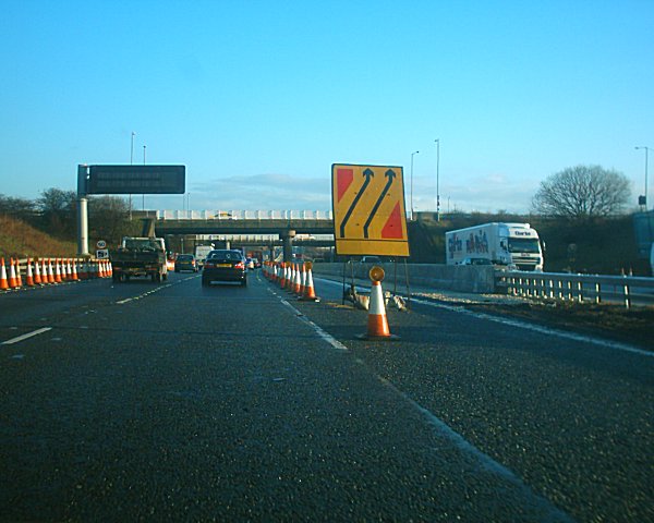
Route and characteristics
The M18 extends across South and West Yorkshire. It is a purpose-built motorway with grade-separated junctions and hard shoulders, designed for long-distance and local traffic. Along its course it passes near urban centres and industrial areas, serving as a relief route that helps distribute traffic between the north–south M1 and the east–west M62 corridors.
History and development
Construction of the M18 took place in stages, with sections opened in the mid-to-late 20th century as part of wider motorway expansion in England. The road was planned to improve access to the Humber ports and to support economic growth in the surrounding region, including the development of freight and commuter movements around Doncaster and Rotherham.
Major connections
- M1 — western terminus near Rotherham and the main north–south motorway.
- Junctions serving Rotherham and nearby townships.
- Key access to Doncaster, a principal urban and transport hub.
- Eastern link with the M62 near Goole, connecting toward the Humber estuary and coastal routes.
Uses and significance
The M18 carries a mix of long-distance freight, regional commuting, and local traffic. It is often used by heavy goods vehicles travelling between the Midlands and the Humber ports, and by commuters accessing employment centres in Doncaster. Its role in connecting major motorways makes it a useful bypass for traffic avoiding urban congestion on adjacent routes.
Notable points: the motorway has been subject to incremental upgrades and periodic maintenance works to manage capacity and safety. For more detailed maps, junction lists and traffic information see official transport and local authority resources: local links and transport network pages (region, coastal access, Doncaster). Additional technical and historical references are available from specialist road archives and government publications.
Questions and answers
Q: Where is the M18 motorway located?
A: The M18 motorway is located in Yorkshire, England.
Q: What cities does the M18 motorway pass through?
A: The M18 motorway passes through Rotherham and Doncaster.
Q: Where does the M18 motorway connect the M1 with?
A: The M18 motorway connects the M1 with the area around the Humber, such as Hull.
Q: How long is the M18 motorway?
A: The M18 motorway is about 26 miles (42 km) long.
Q: What is the endpoint of the M18 motorway?
A: The M18 motorway ends at the M62 near Goole.
Q: What is the purpose of the M18 motorway?
A: The purpose of the M18 motorway is to provide a direct route for traffic between the M1 and the area around the Humber, including Hull.
Q: What region of the United Kingdom is the M18 motorway located in?
A: The M18 motorway is located in Great Britain, specifically in the county of Yorkshire in England.
Author
AlegsaOnline.com M18 motorway (Great Britain) Leandro Alegsa
URL: https://en.alegsaonline.com/art/141956