
U.S. states and territories by area (total, land, and water)
Ordered listing of U.S. states, the federal district, and major territories by total area, with explanations of land vs water area, notable rankings, and historical and practical context.
Overview
This article summarizes how the United States' constituent parts compare by area. The ranking commonly used by statisticians and geographers sorts the 50 states, the District of Columbia, and the principal inhabited territories by total area and also allows separate comparisons by land area and by water area. A complete, tabulated listing is maintained by official agencies and can be consulted for exact figures; see the complete list at official area tables.

Image gallery
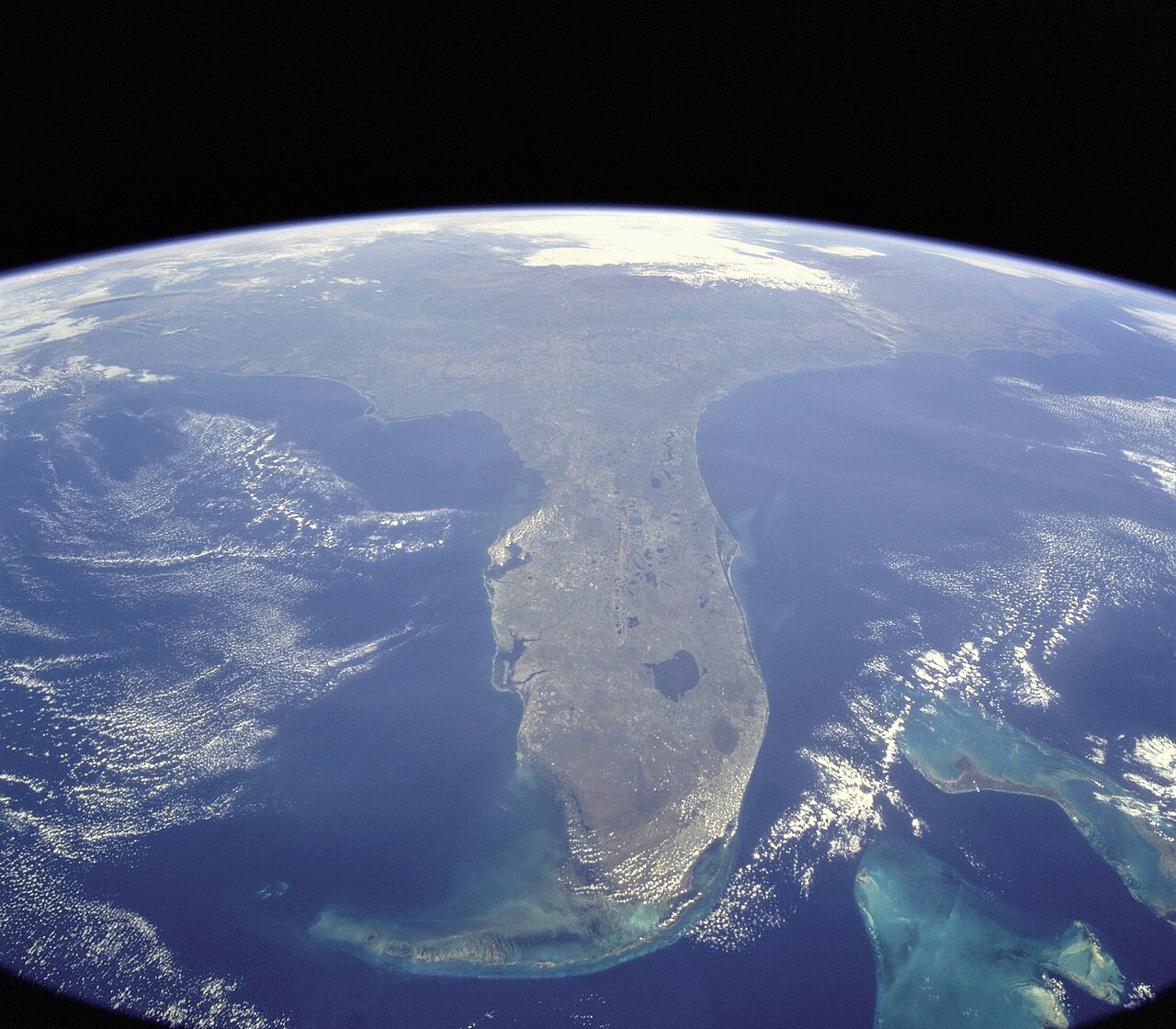
7 Images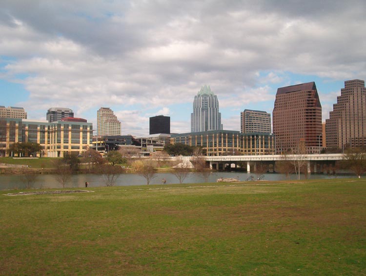



Definitions and measurement
Total area combines land plus inland and coastal water within state boundaries. Land area excludes those waters. Water area typically counts lakes, reservoirs, rivers, and coastal water inside territorial limits; in some cases this includes portions of the Great Lakes that lie within state jurisdiction. Different agencies may report slightly different values because of varying methods for coastal limits, tidal zones, or recent shoreline changes.
Notable rankings and characteristics
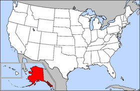
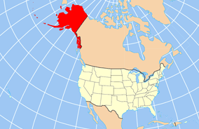
Alaska is by far the largest state in total area, land area, and water area. The next-largest state, Texas, is much smaller in comparison — roughly two fifths of Alaska's size — illustrating how uneven state areas can be. At the other extreme, Rhode Island is the smallest state by total and land area, and the District of Columbia occupies far less area than any state. Michigan stands out for water area because of its boundaries on the Great Lakes; its shoreline and inland lakes give it one of the highest water-area totals among states.

- Largest: Alaska (total, land, and water).
- Second-largest: Texas (about 40% of Alaska by total area).
- Smallest state: Rhode Island.
- Notable water area: Michigan ranks high due to the Great Lakes and inland waters.
Territories, the federal district, and special cases
Rankings that include the United States' territories list inhabited areas such as Puerto Rico, Guam, the U.S. Virgin Islands, American Samoa, and the Northern Mariana Islands alongside the states and the District of Columbia. These territories are typically much smaller in land area than the contiguous states, but they are included in comprehensive area comparisons for federal and geographical reference; see territorial listings at territory area tables. Many territories have greater proportions of water or coastal area relative to land.
History, boundaries, and causes of variation
State and territorial sizes reflect historical processes: colonial charters, international treaties, purchases such as the Louisiana Purchase and the acquisition of Alaska, natural features (rivers, mountain ranges, lakes), and later rectangular divisions established by surveyors in the western United States. These origins explain why some states have irregular shorelines and large water components while others have straight survey lines.
Practical importance and notable facts
Area matters for land management, transportation planning, conservation, and emergency response, but it does not determine political representation in Congress. Low population density is common in very large states; for example, Montana is larger than each of its neighboring states by land area, and only a few states (notably Alaska and Wyoming) have lower population densities. Scenic and economic differences also follow from area: large states can encompass diverse climates and resource bases, and states with extensive water area often have significant fisheries, shipping, and recreation industries. 

Questions and answers
Q: What is the largest state in total area, land area, and water area?
A: Alaska is the largest state in total area, land area, and water area.
Q: How much of the total area of Alaska does Texas take up?
A: Despite being the second largest state, Texas is only 40% of the total area of the largest state, Alaska.
Q: Does Montana have a lower population density than its bordering states?
A: Yes, Montana is larger than every state it borders; only Alaska and Wyoming have a lower population density.
Q: What body of water can be seen at sunset in Michigan?
A: Sunset on Lake Michigan. Michigan is second behind Alaska in water area.
Q: Is there a list that orders U.S. states by their areas?
A: Yes, this is a complete list of the U.S. states, federal district, and its major territories ordered by total area, land area, and water area.
Q: How many states are listed on this list?
A: This list includes all U.S. states as well as federal district and its major territories for a total number of listed items greater than 50 (50+).
Author
AlegsaOnline.com U.S. states and territories by area (total, land, and water) Leandro Alegsa
URL: https://en.alegsaonline.com/art/141692