Brentwood (Washington, D.C.)
Brentwood is a Northeast Washington, D.C. neighborhood named for an early 19th-century estate. This article surveys its history, landmarks, development, infrastructure, and notable events, including the 2001 anthrax attacks.
Overview
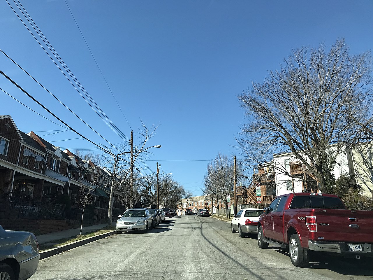
Brentwood is a neighborhood in Northeast Washington, D.C., that developed around a large early 19th-century estate and has evolved into a mixed residential, institutional, and light-industrial area within the District. The name derives from the Brentwood Mansion, a house built circa 1817 by Robert Brent, who served as an early mayor of Washington City. The estate that carried the Brentwood name originally covered a considerably larger tract of land than the area now designated as the Brentwood neighborhood. Over the 19th and 20th centuries that estate was subdivided, sold and repurposed, and parts of it were incorporated into adjacent institutions such as Gallaudet University and the city’s commercial and transportation infrastructure. The modern neighborhood is generally bordered by Rhode Island Avenue NE to the north, New York Avenue to the south, Montana Avenue (and adjacent streets) to the east, and the railroad corridor used by the Washington Metro’s Red Line and by intercity rail to the west. It is served by nearby Metrorail stations, and its land use reflects the layered history of private estate, military use, industrial activity and urban redevelopment.
Image gallery
4 Images


Historical development and the Brentwood estate
The origin of the neighborhood traces to the Brentwood Mansion, erected as part of a working farm and rural estate in the early 1800s. Robert Brent built the house as part of family holdings and passed it to his daughter and her husband; subsequent generations enlarged and managed the property. During the 19th century, ownership and stewardship of the estate changed hands within a network of families and government officers. Members of the Patterson family, for example, were prominent residents in the later 19th century and made the mansion a social center in some periods. Prominent national figures and officials were guests at events connected with the property, a reflection of its proximity to the federal city and to officials who served in the Navy and other services. The house itself has been the subject of historical interest: after its demolition and destruction in the early 20th century, drawings, paintings and descriptions of the mansion appeared in local histories and architectural studies, and researchers have debated who may have designed the building. At one time some accounts associated the mansion with Benjamin Henry Latrobe, the architect who worked on the United States Capitol, but documentary evidence is not conclusive and Latrobe’s records for the relevant years are sparse. Modern researchers often point to collections of images and archival records held by local historical societies and art libraries when reconstructing the building’s appearance and the estate’s evolution.
Turning points: subdivision, military use, and urbanization
Through the late 19th and early 20th centuries the estate underwent several important transformations. Financial strains, changing family circumstances and the pressures of a growing federal city led to gradual subdivision and sale of land. In the first decades of the 20th century the mansion itself was damaged by fire and ultimately demolished; part of the former grounds was used during World War I as a military staging area known as Camp Meigs. In the interwar and postwar decades further sales and eminent domain acquisitions converted large portions of the original estate into institutional sites, government facilities, commercial properties and residential blocks. The property’s conversion to institutional and civic uses included parcels that were incorporated into the campus of Gallaudet University, a major institution for deaf and hard-of-hearing students located adjacent to Brentwood. Over the mid-20th century the remaining large parcels were gradually broken up, sold, or condemned for public projects, a process that set the modern footprint of the neighborhood and dispersed ownership among private developers, local institutions and municipal agencies.
Landmarks, institutions and notable sites
Although the Brentwood Mansion no longer stands, the neighborhood and its immediate surroundings contain several landmarks and institutions that preserve the area’s public and commercial identity. These include institutional facilities associated with education and transportation, a significant wholesale and retail market, a major federal postal facility, and rail and transit operations. Key sites and elements associated with Brentwood’s identity include:
- Gallaudet University: Portions of the old estate were acquired by or donated to the university, and some campus buildings and residence halls occupy land that once belonged to the Brentwood property. Campus buildings and student life have been a constant presence near the neighborhood for many decades.
- Union Market / Florida Avenue Market: Developed from property belonging to heirs of the original estate, this wholesale produce and food market (often called Union Market or the Florida Avenue Market) became a longstanding commercial hub for produce distribution to the city and region. The market’s development shaped industrial and retail patterns along Florida Avenue and in adjacent streets, influencing employment and small-business activity in the neighborhood. Comprehensive studies and planning analyses of the market and its surroundings have been produced by city planning agencies and neighborhood groups; such documents document both historical evolution and contemporary redevelopment considerations (Florida Avenue Market study).
- Federal postal facility: A major mail processing center was established on a site in Brentwood and for many years served as one of the city’s principal postal sorting facilities. That facility later became the focus of national attention during the 2001 anthrax attacks and was subsequently renamed in honor of postal employees who were killed after exposure to anthrax spores; the events of 2001 and their aftermath affected operations, security measures and public perceptions of postal facilities nationwide (2001 anthrax attacks and related coverage). Contemporary references to the facility often note both its functional role and its elevated security profile following the attacks (coverage of affected U.S. senators).
- Rail and transit facilities: Brentwood’s western edge is defined by a busy rail corridor used by commuter and intercity services. The corridor is closely associated with the Washington Metro’s Red Line and with Amtrak’s Northeast Corridor operations, and it creates a clear physical boundary for the neighborhood. The presence of rail facilities and yards nearby has influenced land use patterns, including the siting of transit maintenance yards and freight-handling operations (Amtrak and regional rail).
Transportation, infrastructure and land use
Brentwood occupies a location where multiple transportation arteries converge, and that situation has shaped both its economic role and its urban form. Major roadways such as New York Avenue and Rhode Island Avenue provide important east–west connections across the city, while rail lines and transit stations define the western edge and link Brentwood to downtown Washington, suburban jurisdictions and the broader Northeast Corridor. The neighborhood is served by Washington Metropolitan Area Transit Authority (WMATA) lines and stations in the vicinity; in addition, the area contains or abuts maintenance and operating facilities used by transit agencies. Historically, the proximity to rail and a large municipal post office encouraged a mix of light industrial, distribution, and commercial activities along the corridors adjacent to the rail right-of-way, while blocks farther from heavy infrastructure evolved toward residential and institutional uses. In the later 20th and early 21st centuries, parts of the neighborhood have been the subject of redevelopment initiatives seeking to reconcile industrial land uses with residential demand, to reconfigure underused parcels for new mixed-use projects, and to enhance transit-oriented development opportunities because of the neighborhood’s relative proximity to central Washington.
Social history, culture and notable events
Brentwood’s social and cultural narrative is shaped by its transition from an elite rural estate to a diverse urban neighborhood. The mansion that gave the area its name was at different times a private home, a social venue connected to families with naval and government ties, and, after a damaging fire, ultimately a ruin that was cleared in the early 20th century. The subdividing of the estate produced both conflict and opportunity; legal contests over land and compensation sometimes reached high levels of the judiciary, illustrating the ways in which personal property, municipal authority and federal projects intersected in the District. In the 20th century, the neighborhood’s profile was further altered by wartime uses, by the development of wholesale markets and lumberyards, and by large institutional neighbors such as Gallaudet University. The Brentwood postal facility became a focal point of national concern during the 2001 anthrax episodes, a crisis that had local and national consequences and prompted heightened attention to biosecurity and facility safety; references to those events often appear in accounts of the neighborhood’s recent history (the 2001 attacks, and reporting concerning impacted public figures and employees, see coverage related to senators and postal workers).
Distinguishing features and continuing change
Several distinguishing characteristics mark Brentwood as a notable part of Washington’s urban fabric. First, its name preserves a visible link to early 19th-century landholding and to the municipal history of Washington, D.C., even though the physical mansion has been gone for many decades. Second, the pattern of land subdivision and the persistence of large institutional parcels illustrate how city neighborhoods evolve in response to economic forces, public projects and private development decisions. Third, Brentwood is a place where transportation infrastructure — roads, a major rail corridor and transit facilities — comes into direct contact with residential blocks and institutional campuses, creating challenges and opportunities for planning and redevelopment. Today, the neighborhood continues to experience change: proposals for market-area redevelopment, repurposing of industrial sites, and projects that seek to knit together residential, commercial and transit functions appear periodically in municipal planning documents and community discussions. These contemporary debates often reference earlier chapters of the neighborhood’s story — the mansion, the market, the military camp and the postal facility — as part of a long continuum of transformation that reflects broader patterns of urban change in the nation’s capital. For readers seeking deeper archival or visual material about the mansion and early estate, several specialized collections and historic studies hold drawings, photographs and written accounts that document Brentwood’s earlier built environment and its role in the social life of 19th-century Washington (see, for example, specialized art-library holdings and local histories that discuss the house and its owners, and brief online extracts of older books and planning studies; a general neighborhood overview may be consulted through local resources here, and contextual connections to early municipal officials are discussed in primary-source and biographical summaries related to Robert Brent). Additional background on related historical persons and institutions includes references to national figures who interacted with or were contemporaries of Brentwood-area residents, including memory of architectural work on the Capitol by Benjamin Latrobe (Latrobe and the Capitol), associations with political leaders of the Reconstruction era (President Ulysses S. Grant) and naval officers whose family ties connected them to the estate (Admiral David Dixon Porter).
Brentwood exemplifies how a district neighborhood can retain historical identity even as its physical fabric and uses change. It remains a neighborhood of overlapping roles — residential, institutional, commercial and transport-related — and continues to feature in planning discussions about how best to balance preservation, economic vitality and the everyday needs of residents and institutions in this part of Washington, D.C.
Questions and answers
Q: What is the Brentwood Mansion?
A: The Brentwood Mansion was a large estate built in 1817 by Robert Brent, the first mayor of Washington City. It was given to his daughter Eleanor and Congressman Joseph Pearson as a wedding present.
Q: Who designed the Brentwood Mansion?
A: Although many people think Benjamin Latrobe designed it, there is no definitive answer since records from this period are poor.
Q: Who owned the mansion during President Ulysses S. Grant's administration?
A: Elizabeth (Eliza) Worthington Patterson and her husband Carlile Pollock Patterson owned the mansion during President Ulysses S. Grant's administration (1869-1877).
Q: What happened to the property after C.P. Patterson's death in 1881?
A: After C.P. Patterson's death in 1881, long-delayed financial problems came to a head and Congress enacted a private bill excusing accumulated District of Columbia property taxes on the Patterson land three years later in June 6, 1884.
Q: Who managed the transformation of the property into an urbanized part of D.C.?
A: Lt Francis Winslow (II), son-in-law of C P Patterson, resigned from Navy to devote himself to subdividing, renting, developing, and selling portions of the property after 19 years of Naval service during post-war years and managed its transformation into an urbanized part of D.C..
Q: When did Brentwood Mansion burn down?
A: The vacant Brentwood Mansion burned down in 1917, 100 years after it was built .
Q: What is located on part of former Patterson land today? A: The new headquarters for Bureau Alcohol Tobacco Firearms (ATF) is located on part of former Patterson land today
Related articles
Author
AlegsaOnline.com Brentwood (Washington, D.C.) Leandro Alegsa
URL: https://en.alegsaonline.com/art/13948
Sources
- historydc.org : "History DC"
- gallery.mac.com : gallery.mac.com/sissoed
- supreme.justia.com : supreme.justia.com/us/188/646/case.html