2015 Atlantic hurricane season: summary, notable storms, and impacts
A below‑average Atlantic hurricane season with 11 named storms and four hurricanes. Early preseason activity, a strong El Niño influence, and notable storms such as Ana, Erika and Hurricane Joaquin shaped its impacts.
The 2015 Atlantic hurricane season officially ran from June 1 to November 30 and produced 11 named storms and four hurricanes, making it a below‑average season by storm count. Activity was strongly affected by a developing El Niño in the tropical Pacific, which tends to increase wind shear and suppress tropical cyclone formation over the Atlantic basin. Despite the suppressing influence, the season produced a mix of short‑lived systems and a few storms with significant humanitarian and maritime impacts.
Image gallery
10 Images


Season context and timing
Forecasters entered 2015 expecting relatively quiet Atlantic activity because of the anticipated El Niño. Several agencies issued seasonal outlooks calling for a reduced number of tropical cyclones. The first named storm, Ana, formed in May — nearly a month before the official June 1 start — marking the first preseason named storm since 2012’s Beryl. Ana’s early formation was an unusual feature of the year and highlighted how individual disturbances can develop outside the climatological peak despite a generally suppressed season. The season’s final system, Kate, dissipated before the official November 30 end.
Characteristics and storm types
The season included a mix of tropical storms and hurricanes; many systems remained weak or short‑lived because of hostile upper‑level winds and dry air. A small number intensified into hurricanes, and an even smaller subset reached major hurricane strength. Atlantic seasons are typically judged by counts of named storms, hurricanes, and accumulated cyclone energy (ACE). In 2015 the counts were below long‑term averages, reflecting the overall moderating influence of El Niño.
Notable storms and impacts
- Ana — Formed in May and became the season’s first named storm, notable for its early timing and for being the first preseason storm since Beryl.
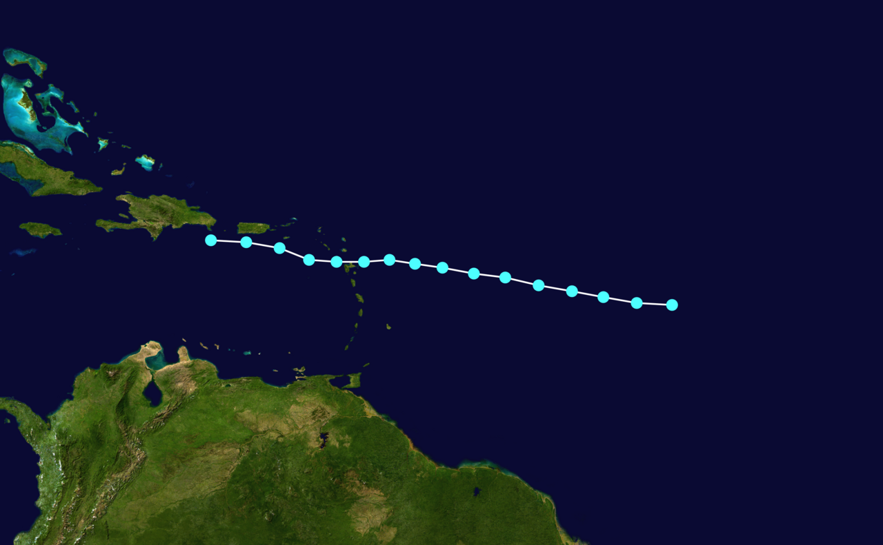
- Tropical Storm Erika — Produced heavy rainfall and catastrophic flooding in parts of the eastern Caribbean; it was responsible for severe local damage and loss of life in areas such as Dominica.
- Hurricane Joaquin — The season’s most powerful and widely reported cyclone, Joaquin produced destructive winds and storm surge in the central Bahamas and was associated with maritime disasters, including the sinking of the cargo vessel El Faro.
Forecasts, anomalies and notable facts
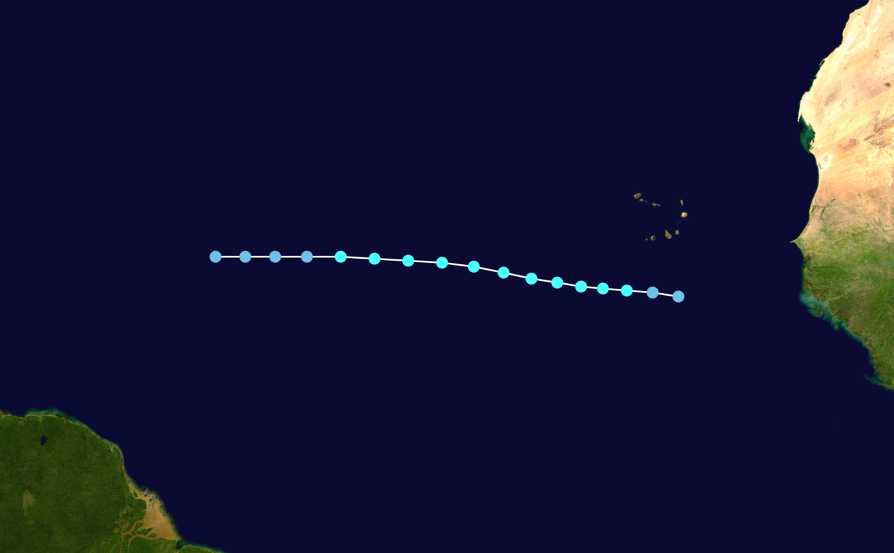
Predictions at the start of the year typically called for only modest activity, with some agencies suggesting as few as six to ten tropical cyclones. The actual number of named storms exceeded the lowest predictions but remained below climatological averages. The early formation of Ana (a preseason system) was the most prominent timing anomaly; otherwise the season followed the expected pattern of suppressed development due to El Niño‑related wind shear. One consequence was fewer long‑lived Cape Verde‑type hurricanes originating from African easterly waves than in more active years.
Beyond storm counts, 2015 is remembered for the human impacts of a handful of systems rather than for basinwide intensity: heavy rainfall and flooding in island nations, dangerous marine conditions, and significant disruptions to shipping and local economies. The season demonstrates how even a relatively quiet year in numerical terms can produce storms with serious local consequences. For additional historical context and storm details, see contemporary season summaries and archived advisories such as those linked to season reports.
Questions and answers
Q: When did the 2015 Atlantic hurricane season start?
A: The 2015 Atlantic hurricane season officially started on June 1.
Q: What was the earliest a hurricane has happened since 2003?
A: The earliest a hurricane has happened since 2003 was Ana in 2015.
Q: How many storms occurred during the 2015 Atlantic hurricane season?
A: 11 storms occurred during the 2015 Atlantic hurricane season.
Q: How many of those storms reached hurricane status?
A: 4 of those storms reached hurricane status.
Q: When did the first named storm, Ana, develop?
A: The first named storm, Ana, developed nearly a month before the official start of the season.
Q: What were most agencies predicting for this season's number of tropical cyclones?
A: Most agencies predicted that only 6–10 tropical cyclones would form.
Q: When did Kate diminish and how long before the official end of the season was it?
A: Kate diminished 18 days before the official end of the season on November 30th.
Author
AlegsaOnline.com 2015 Atlantic hurricane season: summary, notable storms, and impacts Leandro Alegsa
URL: https://en.alegsaonline.com/art/133692