
2011 Pacific typhoon season
Overview of the 2011 Pacific typhoon season: basin definition, agencies and naming, seasonal pattern, impacts, forecasting and notable operational distinctions.
Overview
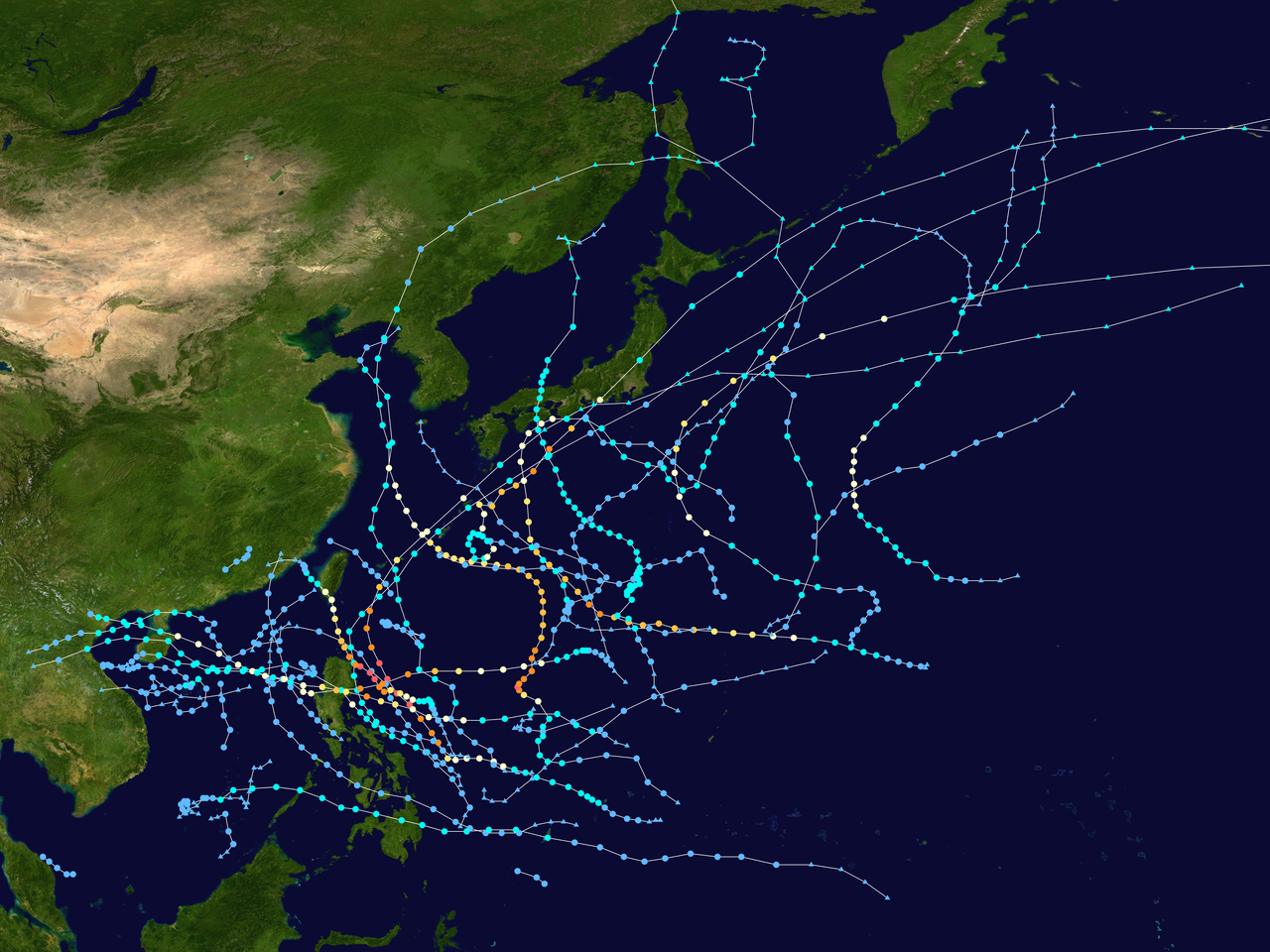
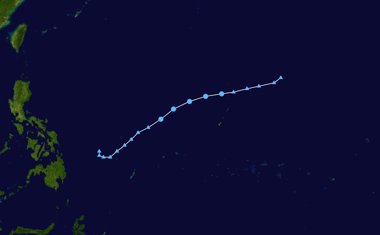
The 2011 Pacific typhoon season refers to the tropical cyclone activity in the northwestern portion of the Pacific Ocean during the calendar year 2011. The basin considered here lies north of the equator between roughly 100°E and the 180° meridian. Although tropical cyclones can form at any time of year in this region, most activity traditionally occurs between late spring and late autumn, with a concentration of storms between May and November.
Image gallery
10 Images




Basin boundaries and seasonal character
The northwestern Pacific is the planet's most active tropical cyclone basin. Systems that form here vary widely in size, structure and duration, from short-lived tropical depressions to long-lived, intense typhoons. Seasonal behavior is influenced by large-scale climate patterns such as the El Niño–Southern Oscillation (ENSO), monsoon trough activity, sea-surface temperatures and vertical wind shear. In 2011, as with other years, the season produced a mix of storms that tracked toward the Philippines, Taiwan, Japan, China and other coastal areas of Southeast Asia.
Agencies, naming and classification
Multiple meteorological agencies monitor and classify cyclones in this basin, and differences in responsibility and methods can result in a single system having more than one identifier or name.
- Japan Meteorological Agency (JMA) serves as the official Regional Specialized Meteorological Center for the western North Pacific and names tropical cyclones when they reach sufficient strength according to its 10‑minute sustained wind criteria. The JMA's assessments are used for official warnings across much of the basin.
- Joint Typhoon Warning Center (JTWC), operated by the United States, issues tropical cyclone warnings for U.S. interests and uses 1‑minute sustained wind estimates; it assigns a numeric identifier with a "W" suffix for systems it monitors.
- Philippine Atmospheric, Geophysical and Astronomical Services Administration (PAGASA) assigns local names to systems that enter or form within its area of responsibility—generally the region between about 115°E and 135°E longitude and between 5°N and 25°N latitude—even if those systems already have international names.
Because JMA uses 10‑minute winds and JTWC uses 1‑minute winds, reported intensities can differ between agencies; PAGASA applies its own name list for domestic communications, which can mean one storm carries both an international name and a Philippine name.
Impacts and typical consequences
Tropical cyclones in the northwestern Pacific commonly bring heavy rainfall, strong winds, storm surge and flooding. Low-lying coastal areas and mountainous islands are particularly vulnerable to flash floods and landslides. Even relatively weak systems can cause significant disruption through prolonged rainfall, while stronger typhoons may produce widespread damage to infrastructure, agriculture and housing. Preparedness, timely warnings and evacuation measures are essential to reduce casualties and economic loss.
Forecasting, records and operational notes
Forecasting in the basin relies on satellite imagery, numerical weather prediction models and reconnaissance from regional agencies. Public advisories synthesize wind estimates, forecast tracks and recommended safety actions. On average, about 27 tropical storms form in the western North Pacific each year, but annual totals and the number of intense typhoons vary from year to year. Operationally, the existence of multiple naming lists and differing wind measurement standards is a notable feature of this basin and is important for users to understand when comparing reports from different agencies.
Significance and historical context
The 2011 season fits within the long record of western North Pacific cyclone activity that has shaped coastal development, disaster response planning and meteorological science in the region. Lessons from each season, including forecasting successes and encountered challenges, contribute to improved warning systems, international coordination and public resilience ahead of future seasons.
Questions and answers
Q: What is the scope of this article?
A: The scope of this article is limited to the Pacific Ocean to the north of the equator between 100th meridian east and the 180th meridian.
Q: When does the Pacific typhoon season typically occur?
A: The Pacific typhoon season typically occurs between May and November.
Q: Who assigns names to tropical cyclones in the Northwestern Pacific Ocean?
A: In the Northwestern Pacific Ocean, there are two separate agencies who assign names to tropical cyclones - Japan Meteorological Agency and Philippine Atmospheric, Geophysical and Astronomical Services Administration.
Q: What criteria must be met for a storm to be named by Japan Meteorological Agency?
A: For a storm to be named by Japan Meteorological Agency, it must have 10-minute sustained wind speeds of at least 65 km/h (40 mph) anywhere in the basin.
Q: What area does Philippine Atmospheric, Geophysical and Astronomical Services Administration cover when assigning names to storms?
A: Philippine Atmospheric, Geophysical and Astronomical Services Administration assigns names to storms that move into or form as a tropical depression in their area of responsibility between 135°E and 115°E and between 5°N and 25°N even if they have already been assigned a name by Japan Meteorological Agency.
Q: How are tropical depressions monitored by United States' Joint Typhoon Warning Center identified?
A: Tropical depressions monitored by United States' Joint Typhoon Warning Center are given a number with a "W" suffix.
Q: How many storms form on average each year in this basin?
A: On average, 27 storms form in this basin every year.
Author
AlegsaOnline.com 2011 Pacific typhoon season Leandro Alegsa
URL: https://en.alegsaonline.com/art/133656