
2010 Canterbury earthquake
A magnitude 7.1 earthquake struck near Darfield, west of Christchurch on 4 September 2010, causing widespread shaking, surface rupture and infrastructure damage and prompting a Civil Defence state of emergency.
Overview
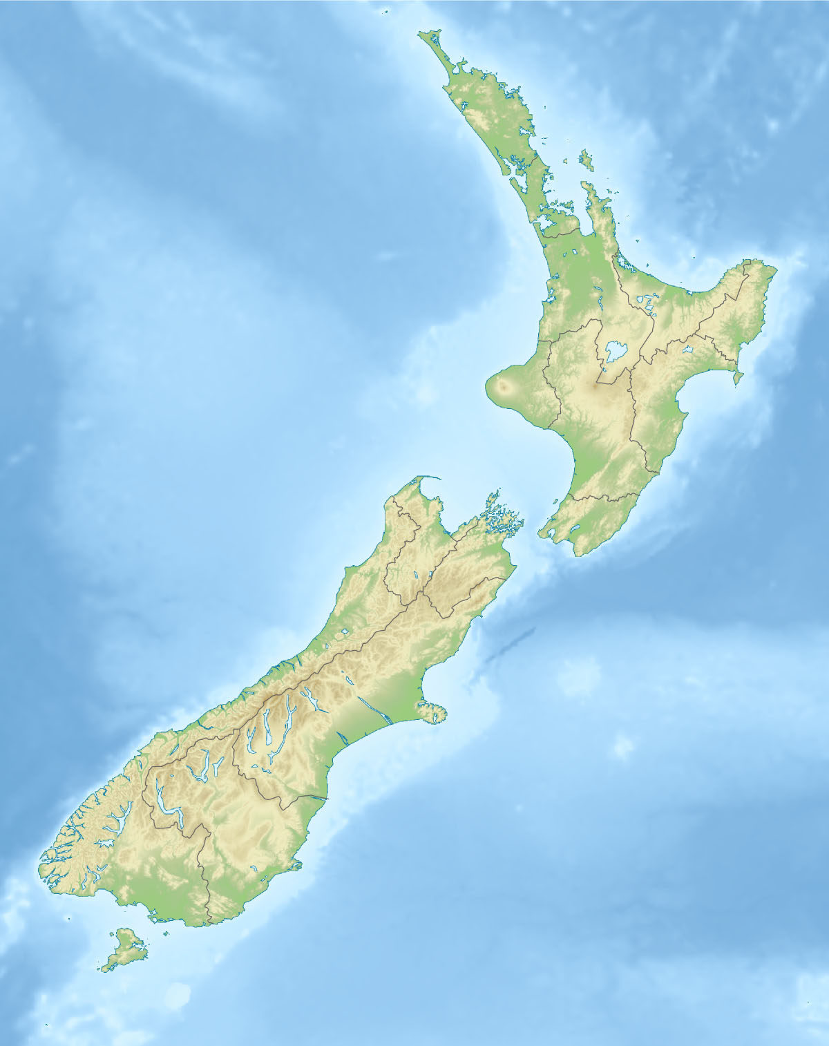
At 4:35 am local time on 4 September 2010 (16:35 3 September UTC) a magnitude 7.1 earthquake struck the Canterbury region on New Zealand's South Island. The epicentre was located about 40 kilometres west of Christchurch, near the town of Darfield, at a shallow depth of roughly 10 kilometres. Strong shaking was widely felt across the South Island and as far north in the North Island as New Plymouth. Numerous aftershocks followed the main shock, including several above magnitude 5; these aftershocks persisted for months and formed a prolonged seismic sequence.
Image gallery
10 Images


Geology and rupture
The earthquake occurred within the complex plate-boundary region where the Pacific and Australian Plates interact. It ruptured one or more previously unrecognised crustal faults beneath the Canterbury Plains. Because the faulting was shallow and the mainshock was large, intense ground motions were transmitted into Christchurch and surrounding settlements. Field observations documented visible surface offsets, ground cracking across farmland, and localized patterns of uplift and subsidence. Seismologists and geologists mapped the rupture to better understand fault geometry, stress transfer and the potential for further activity in the area.
Surface effects and environmental impact
The event produced visible surface deformation in rural areas: fences and roads were offset, and some shallow fissures opened across paddocks. In low-lying or poorly drained zones there were reports of sand and water being ejected to the surface (liquefaction) and of ground settlement. These processes affected farmland, transport routes and agricultural infrastructure in parts of the region, and required repairs and remediation work in the months after the shock.
Impacts on Christchurch and surrounding districts
Although the main event occurred early in the morning and resulted in relatively few immediate injuries, it caused considerable disruption. Power and water supplies were interrupted in Christchurch and nearby towns, and many older and unreinforced masonry buildings—particularly in the port town of Lyttelton—suffered damage, including parts of churches and hotel facades. Businesses in the central city closed temporarily while safety inspections were carried out. Initial damage estimates were in the order of up to NZ$2 billion. Civil Defence reported two people seriously injured as a result of the quake.
Emergency response and recovery
Civil Defence declared a state of emergency for Christchurch and the Selwyn District to coordinate response and recovery activities. Emergency services, local authorities and utility companies carried out rapid assessments of buildings, infrastructure and lifelines. The event tested local emergency plans, public communication systems and the capacity to inspect and secure damaged structures. Recovery included restoring utilities, repairing roads and supporting affected households and businesses.
Scientific significance and later events
The September 2010 quake was important scientifically because it revealed previously unmapped faulting beneath a populated area and highlighted the potential for large, shallow crustal earthquakes away from the better-known plate-bounding faults. The sequence also preceded a later and more destructive event in the region: on 22 February 2011 a severe aftershock struck near Christchurch, causing much greater damage and loss of life. Findings from the 2010–2011 Canterbury sequence have informed seismic hazard assessments, building standards and urban resilience planning in New Zealand.
Further reading and resources
- Official geological summary and technical reports
- Seismological data and aftershock catalogues
- Regional tectonics and fault maps for the South Island
- New Zealand Civil Defence emergency guidance and historic notices
- Time-stamped chronology and converted UTC records
- Scientific analyses of aftershocks and ground motion
- Accounts of shaking felt across the North Island
- Local reports on effects as far as New Plymouth
- Regional impact assessments for Christchurch and Lyttelton
Questions and answers
Q: When did the 2010 Canterbury earthquake occur?
A: The earthquake occurred on September 4, 2010 at 4:35 am local time.
Q: Where did the earthquake strike?
A: The earthquake struck the South Island of New Zealand, 40 km west of Christchurch near the town of Darfield.
Q: What was the magnitude of the earthquake?
A: The earthquake had a powerful 7.1 magnitude.
Q: Were there any aftershocks reported?
A: Yes, there were strong aftershocks reported, including ones of magnitude 5.3.
Q: How far did the earthquake shake?
A: The earthquake was felt widely across the South Island and in the North Island as far north as New Plymouth.
Q: What kind of damage did the earthquake cause?
A: The earthquake caused a lot of damage, such as cutting off power and water supply mainly in the city of Christchurch. Historic buildings in Lyttelton were also damaged along with two people who were seriously injured.
Q: Was there a state of emergency declared after the earthquake?
A: Yes, a state of emergency was declared by Civil Defence for Christchurch and the Selwyn District.
Author
AlegsaOnline.com 2010 Canterbury earthquake Leandro Alegsa
URL: https://en.alegsaonline.com/art/133641