2004 Pacific hurricane season
Summary of the 2004 Pacific hurricane season: dates, typical behavior, monitoring agencies, impacts, and how this season fit into broader climate patterns and forecasting practice.
Overview
The 2004 Pacific hurricane season officially began in the eastern North Pacific on May 15 and in the central North Pacific on June 1. The formal season ran through November 30, the conventional window when the majority of tropical cyclones form in the northeastern Pacific. These administrative dates are used by forecasters to organize monitoring and post-season analysis rather than to limit the possibility of out-of-season storms.
Image gallery
10 Images


Formation, tracks, and typical characteristics
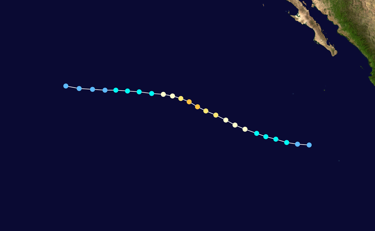
Storms in the eastern and central Pacific usually originate from disturbances over warm ocean waters and are steered by subtropical ridges and trade winds. Many systems track westward away from the Mexican coast, often weakening over cooler water or when encountering hostile upper-level winds. When conditions are favorable—ample moisture, weak shear, and warm sea-surface temperatures—tropical depressions can intensify into named storms and hurricanes. The central Pacific basin, monitored separately, sees fewer named storms overall but can be affected when systems move westward from the eastern Pacific.
Monitoring and forecasting
Responsibility for tracking and forecasting Pacific tropical cyclones is split between the National Hurricane Center (NHC) for the eastern Pacific and the Central Pacific Hurricane Center (CPHC) for the central Pacific. Forecast products include advisory tracks, intensity estimates, and watches and warnings for coastal areas. Seasonal outlooks produced before and during the year take into account sea-surface temperatures and large-scale climate drivers such as the El Niño–Southern Oscillation, which influence the frequency and intensity of storms.
Impacts and preparedness
Although many Pacific storms remain over open water, they can still produce dangerous seas, heavy rainfall, flash flooding, and coastal erosion along parts of Mexico, the Baja California peninsula, and occasionally farther afield. Local authorities issue watches and warnings when systems threaten land. Preparedness advice emphasizes securing property, heeding evacuation orders, and avoiding flood-prone areas. Shipping and coastal communities must also monitor developments because even distant cyclones can generate hazardous swells.
Seasonal context and notable features
Each Pacific season differs in activity and impact. Analysts compare years by counting tropical depressions, named storms, hurricanes, and major hurricanes and by assessing accumulated cyclone energy. Post-season reports summarize storm tracks, damages, and lessons learned. These analyses inform improvements in forecasting models and public communication strategies for subsequent seasons. For a concise account of the official season dates and convention, see the National Weather Service summaries and seasonal overviews here.
Further information
- Operational advisories and archives are maintained by the NHC and CPHC; historical storm data are used for research and preparedness planning.
- Climatological summaries and post-season reports help place individual seasons in the context of multi-decadal variability and anthropogenic climate influences.
- Public safety resources stress evacuation plans, emergency supplies, and attention to local official guidance when tropical cyclones approach.
For more detailed storm-by-storm accounts, consult the basin archives and post-season reports produced by meteorological agencies and research organizations that compile best-track data and damage assessments.
Questions and answers
Q: When did the 2004 Pacific hurricane season officially begin?
A: The 2004 Pacific hurricane season officially started on May 15, 2004 in the eastern Pacific.
Q: When did it begin in the central Pacific?
A: The 2004 Pacific hurricane season began on June 1, 2004 in the central Pacific.
Q: When did the season end?
A: The 2004 Pacific hurricane season lasted until November 30, 2004.
Q: What is the significance of the dates May 15 and June 1?
A: These dates conventionally delimit the period of each year when most tropical cyclones form in the northeastern Pacific Ocean.
Q: What is a tropical cyclone?
A: A tropical cyclone is a rotating, organized system of clouds and thunderstorms that originates over tropical or subtropical waters.
Q: What is the northeastern Pacific Ocean?
A: The northeastern Pacific Ocean is the region of the Pacific Ocean located to the east of 140 degrees west longitude.
Q: How does the 2004 Pacific hurricane season compare to other seasons in the region?
A: The text does not provide information to answer this question.
Author
AlegsaOnline.com 2004 Pacific hurricane season Leandro Alegsa
URL: https://en.alegsaonline.com/art/133606