Bosanka (river, central Bosnia)
Small right-bank tributary of the Vrbanja in central Bosnia. About 6 km long, sourced on Uzlomac mountain, with several tributaries, historic watermills and wartime impacts on nearby villages.
Overview
The Bosanka is a short river in central Bosnia and Herzegovina that joins the Vrbanja as a right-bank tributary. It is a modest upland stream with a total length of roughly six kilometres. The river drains a small forested valley and passes through several rural settlements before flowing into the Vrbanja between the villages of Dabovci and Dudići.
Image gallery
1 Image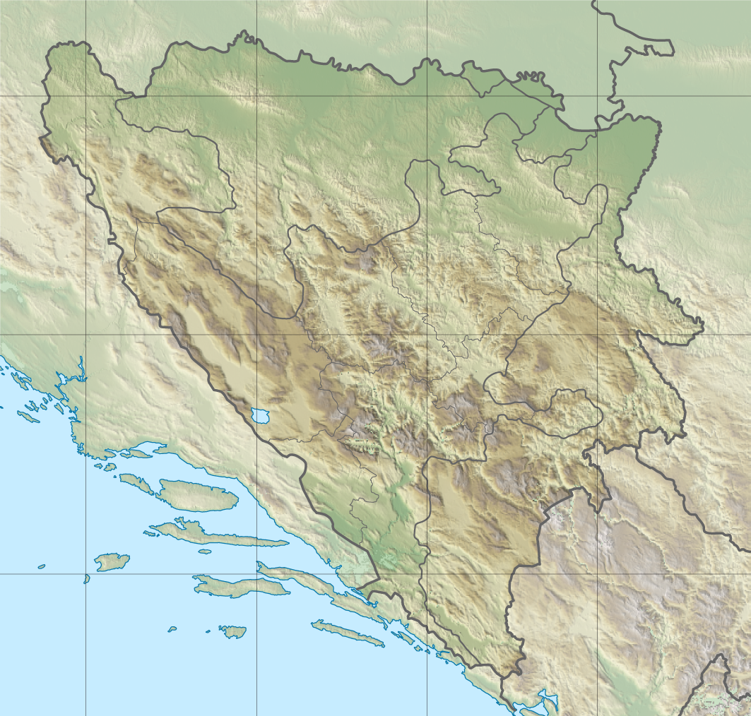
Source, course and tributaries
The Bosanka rises on the southern slopes of the Uzlomac range at an elevation near 800 metres. Its headwaters originate in a cluster of springs and small streams that combine to form the main channel. The river follows a generally south-westward course and reaches the Vrbanja downstream from the village of Vrbanjci, close to the regional M-4 roadway linking Banja Luka and Doboj. The precise point where the Bosanka meets the Vrbanja is commonly noted by local maps and travellers alike (mouth location).
Its principal named tributary is the Vodalka, which joins from the left. The Vodalka basin itself is fed by several smaller creeks: on its eastern side are streams such as Zmajevac, Pirizevac and Breska; on the western side, smaller courses include Jelovac, Pušića potok, Svinjara and Jošavka. The headwater system is sometimes described as four primary source streams that converge to form the Bosanka proper (headwaters).
Human uses and local features
The valley of the Bosanka has long supported small-scale agricultural and domestic activities. In the mid-20th century the river and its tributaries powered several traditional watermills; historical records note a cluster of mills operating in the Bosanka and Vodalka basins, used for grinding grain and other local processing (watermills). The river flows past or through small villages such as Petrovići and others along its short course.
History and wartime impact
The area surrounding the Bosanka lies within a region affected by the conflicts of the 1990s. During the Bosnian War many communities in the Vrbanja valley experienced displacement and violence; residents of several nearby villages were expelled or killed and some settlements suffered destruction. Villages in the broader region, including Večići, Vrbanjci and others, remain marked by that recent history. Local recovery and return of displaced people have been uneven, and wartime memory continues to shape community life.
Ecology and conservation
As a small upland watercourse, the Bosanka supports the typical freshwater fauna and riparian vegetation of central Bosnian streams: aquatic invertebrates, amphibians and small fish, together with riverbank shrubs and mixed woodland on surrounding slopes. Because of its size the river is sensitive to changes in land use, erosion and pollution. Conservation of water quality and riparian corridors on small tributaries like the Bosanka is important for maintaining biodiversity in the larger Vrbanja watershed (Vrbanja).
Notable facts and references
- The source area is on Uzlomac mountain, a modest upland massif in central Bosnia.
- Its mouth lies near the M-4 highway that connects regional centres (Banja Luka–Doboj).
- Historic watermills were recorded in the mid-20th century (local mills).
- Wartime events affected nearby communities; these events are part of the local contemporary history (Večići, Vrbanjci).
For maps, local histories and conservation information, readers can consult regional geographic sources and local authorities. Further details about the Vrbanja river system and its tributaries are available through hydrological surveys and municipal records (Vrbanja, mouth description, headwater notes).
Questions and answers
Q: What is Bosanka?
A: Bosanka is a river in central Bosnia.
Q: What is the length of Bosanka?
A: The length of Bosanka is about 6 kilometres (3.7 mi).
Q: Where does Bosanka rise from?
A: Bosanka rises on the southern slopes of the Uzlomac mountain (elevation about 800 metres (2,600 ft)) in four streams.
Q: What is the only significant tributary to Bosanka?
A: The only significant (left) tributary to Bosanka is the Vodalka.
Q: How many watermills were there in the Bosanke and Vodalke river basins in 1950?
A: In 1950, there were eight watermills in the Bosanke and Vodalke river basins.
Q: Which villages were affected during the War in Bosnia in the area of Bosanka?
A: During the War in Bosnia, people living in the area of Bosanka were expelled and killed, especially in the village of Vrbanjci, and nearby surrounding Večići, Hrvaćani, Garići and Rujevica.
Q: Where is the mouth of Bosanka located?
A: The mouth of Bosanka in Vrbanja river is between the villages of Dabovci and Dudići, downstream from Vrbanjci, along highway M-4 (Banja Luka - Doboj).
Related articles
Author
AlegsaOnline.com Bosanka (river, central Bosnia) Leandro Alegsa
URL: https://en.alegsaonline.com/art/13176
Sources
- tools.wmflabs.org : 44°35′N 17°25′E / 44.583°N 17.417°E / 44.583; 17.417