
Matthew Flinders: navigator, cartographer and the circumnavigator of Australia
English naval officer Matthew Flinders (1774–1814) led the first recorded circumnavigation of Australia, produced influential coastal charts, advocated the name 'Australia', and survived long captivity on Mauritius.
Matthew Flinders (16 March 1774 – 19 July 1814) was an English naval officer, explorer and chartmaker whose surveys of the southern ocean and the coastline of the Australian continent permanently shaped European understanding of the region. Trained as a Royal Navy officer, Flinders commanded detailed mapping voyages that confirmed key features such as the insularity of Van Diemen's Land and produced the first comprehensive circumnavigation of the mainland later called Australia. For a concise biographical summary see Matthew Flinders RN and more on his role as a navigator.
Image gallery
10 Images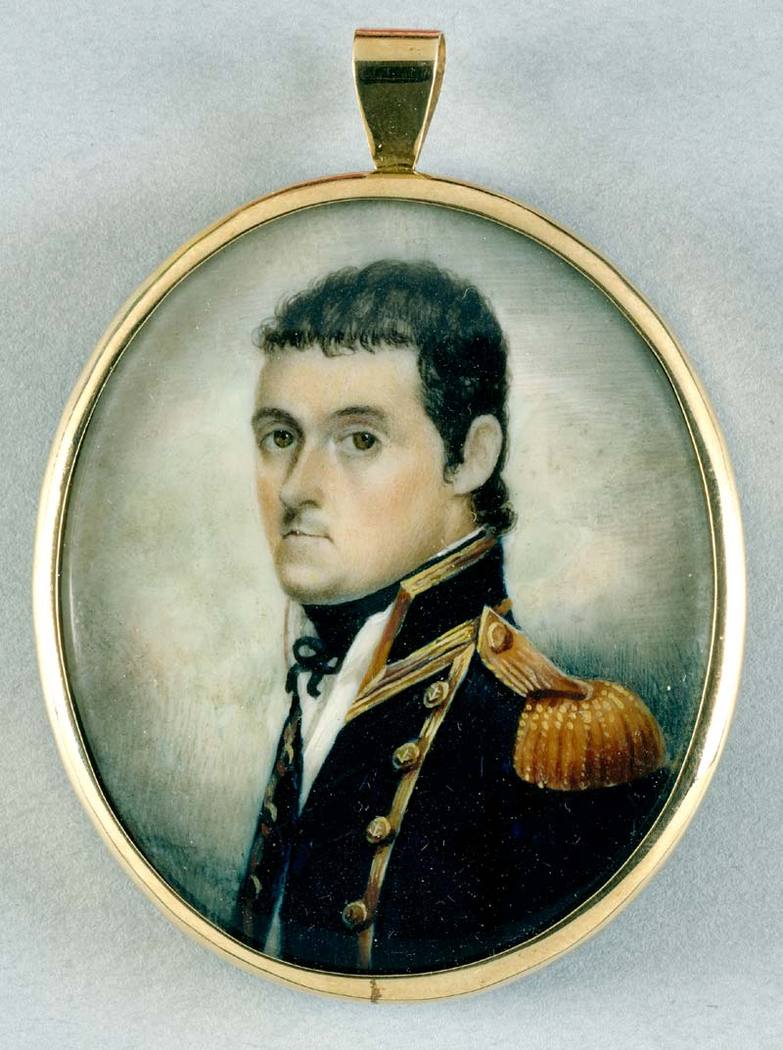


Major voyages and achievements
Between 1791 and 1810 Flinders made three major voyages into the southern oceans. Working closely with surgeons and fellow seafarers, he combined careful coastal observations with navigation techniques of his era, producing charts of much of the coastline. His most famous expedition was the 1801–1803 voyage in the small ship Investigator, during which he completed the first documented circumnavigation of the Australian mainland. That expedition is described in accounts of the first circumnavigation and his mapping work across Australia.
- Early collaboration with George Bass resulted in the discovery and survey of what became known as Bass Strait; see the partnership with George Bass.
- Surveys in the late 1790s confirmed Van Diemen's Land (now Tasmania) was not attached to the mainland but an island, changing navigation and settlement plans for the region; historical name Van Diemen's Land is often noted in early reports.
Detention and publication
On his return voyage to England in 1803, injuries to his ship required a stop at Isle de France (now Mauritius). Although Britain and France were at war, Flinders expected that scientific work would secure safe passage. Instead he was detained by the French governor and remained under custodial restriction for more than six years while the Napoleonic wars continued — a diplomatic episode that involved officials from both Britain and France. During confinement he wrote detailed logs and began composing the narrative and charts that later formed his major work.
While imprisoned, Flinders refined his argument for adopting a single name for the continent. He promoted the term "Australia" as a concise umbrella for the lands variously called New Holland and New South Wales. After his release and return to England in 1810 his health had been significantly weakened by years at sea and by imprisonment, and he died in 1814 before he was able to see the full impact of his publications.
Book, maps and legacy
Flinders' principal publication, A Voyage to Terra Australis — an account illustrated by detailed charts and an atlas — made a lasting contribution to maritime geography and to British colonial policy. The book and accompanying maps were acclaimed for their accuracy and for the systematic approach to coastal surveying. Modern historians and navigators continue to acknowledge Flinders' charts and descriptions as foundational; his advocacy of the name Australia helped it enter official and popular usage. See references to his atlas and published account at A Voyage to Terra Australis.
Beyond charts and a published narrative, Flinders left a more complex legacy: he worked with indigenous figures, most notably the Aboriginal man Bungaree who accompanied parts of the voyages and acted as an intermediary, and he demonstrated the practical benefits of careful hydrographic work for navigation, settlement and science. His life combined seafaring skill, systematic observation and a persistence that overcame political setbacks; today he is commemorated in place names, historical studies and ongoing interest in the early mapping of the Australian continent.
Questions and answers
Q: Who was Matthew Flinders?
A: Matthew Flinders was an English navigator and cartographer who led the first circumnavigation of Australia and identified it as a continent.
Q: What did George Bass and Flinders confirm during their second voyage?
A: During their second voyage, George Bass and Flinders confirmed that Van Diemen's Land (now Tasmania) was an island.
Q: What did Flinders do during his third voyage?
A: During his third voyage, Flinders circumnavigated the mainland of what would become known as Australia, along with Aboriginal man Bungaree.
Q: Why did Flinder's vessel need urgent repairs at Isle de France (Mauritius)?
A: On his way back to England in 1803, Flinder's vessel needed urgent repairs at Isle de France (Mauritius).
Q: Why was he kept under arrest for more than six years?
A: Although Britain and France were at war, Flinders thought the scientific nature of his work would ensure safe passage, but a suspicious governor kept him under arrest for more than six years.
Q: What did he record while in captivity?
A: While in captivity, he recorded details of his voyages for future publication. He also put forward his rationale for naming the new continent 'Australia', as an umbrella term for New Holland and New South Wales – a suggestion taken up later by Governor Macquarie.
Q: What happened to his health during this period?
A: His health suffered greatly during this period due to being held captive for such a long time. Despite reaching home in 1810, he didn't live to see the publication of his widely praised book and atlas A Voyage to Terra Australis.
Author
AlegsaOnline.com Matthew Flinders: navigator, cartographer and the circumnavigator of Australia Leandro Alegsa
URL: https://en.alegsaonline.com/art/126401