
List of roads in Metro Manila
Overview and organization of major roads in Metro Manila, their classification, notable examples, history and how lists are compiled for the capital region.
Overview
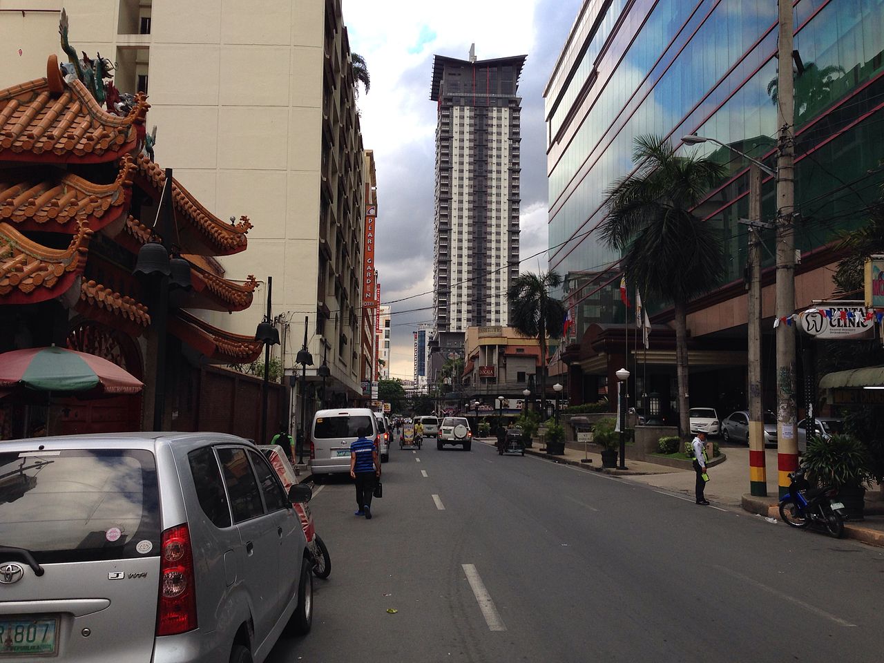
This article describes a compiled list of important roads within Metro Manila, the capital region of the Philippines. The scope covers streets, avenues and highways whose primary sections lie inside the metropolitan area, and it also notes routes that extend into neighboring provinces. Such lists are useful for transportation planning, navigation, historic reference and public information.
Image gallery
10 Images




Classification and characteristics
Roads in the metropolitan area are commonly described as highways, avenues, boulevards or streets, depending on their design, width and role. Major thoroughfares serve as arterial links between cities and districts; smaller streets provide local access. The local planning framework also recognizes circumferential and radial corridors that help organize the urban transport network. Responsibility for maintenance is typically split between national agencies for major routes and city or municipal governments for local roads.
Notable examples (selected)
- Epifanio de los Santos Avenue (commonly EDSA) — the primary circumferential artery serving many cities within the region.
- Roxas Boulevard — a widely known waterfront boulevard that connects southern parts of the bayfront.
- Commonwealth Avenue — a major east–west/wide avenue in the northern districts.
- Quezon Avenue and España Boulevard — principal corridors for traffic, commerce and buses.
- Taft Avenue and Ortigas Avenue — important routes that connect commercial and educational districts.
- Circumferential Road 5 (C-5) — part of a network intended to relieve inner-city congestion by providing an alternative ring route.
These examples are representative rather than exhaustive. Many roads have alternate or historical names, and some sections carry distinct local identities despite a single official name.
History, development and uses
The road network developed over centuries: early paths and colonial-era streets laid the groundwork, later expanded during the American and postwar periods as the metropolis grew. Today major roads carry mixed traffic — private vehicles, buses, jeepneys, freight and paratransit — and are often aligned with public-transport routes and rail crossings. Road upgrades, flyovers and dedicated bus or cycle lanes are frequently part of ongoing efforts to improve flow and safety.
How lists are organized and presented
Comprehensive listings are typically arranged alphabetically, by administrative jurisdiction, by road type (national vs local) or by functional classification (arterial, collector, local). Entries commonly include the official name, common abbreviation, termini, the cities crossed and notes on any sections outside the metropolitan boundary. Because roads change over time — through renaming, extension or realignment — reputable lists indicate the date of the latest update and cite official sources where available.
For further reference on the region and its transport network consult regional planning materials and municipal road inventories, or follow local government portals and national infrastructure agencies for the most current information.
Questions and answers
Q: What is the text about?
A: The text is about an alphabetical list of important roads located in Metro Manila, the capital region of the Philippines.
Q: Are there any roads included that are not located in Metro Manila?
A: Yes, some roads have parts that are located outside of Metro Manila, such as neighboring provinces.
Q: How are roads classified in Metro Manila?
A: Roads in Metro Manila are usually classified into highways, avenues, and streets.
Q: Where is Metro Manila located?
A: Metro Manila is located in the Philippines.
Q: Is this list alphabetical or numerical?
A: This list is alphabetical.
Related articles
Author
AlegsaOnline.com List of roads in Metro Manila Leandro Alegsa
URL: https://en.alegsaonline.com/art/125101