Counties of Rhode Island: Overview, list, and administrative role
A concise guide to Rhode Island's five counties: names, role, history, and how county lines are used in a state without county governments.
Overview
Rhode Island, nicknamed the Ocean State, Little Rhody, and the Plantation State, is divided into five counties. These counties function primarily as geographic and statistical units rather than as independent local governments. Local public services and government are provided by Rhode Island's cities and towns, while county boundaries are still used for certain administrative, judicial, and statistical purposes.
Image gallery
1 Image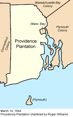
List of counties
The state contains five counties. Their names and general distinctions are listed below; for additional data and official references see the state list and the state's information pages about the U.S. state of Rhode Island.
- Providence County — Covers the area around the capital and includes the state's largest population centers.
- Kent County — Lies south of Providence County and includes a mix of suburban and coastal communities.
- Washington County — Commonly called "South County," it occupies much of the southern mainland and shoreline.
- Newport County — Encompasses Aquidneck Island and the city of Newport, noted for maritime history and tourism.
- Bristol County — A smaller coastal county with a long colonial and maritime heritage.
Historical background
The counties of Rhode Island were established during the colonial era in the 17th and 18th centuries, before the American Declaration of Independence. Rhode Island was one of the original thirteen colonies and the first to declare independence in 1776. Over time, as municipal governments matured, the state never developed active county governments; instead, town and city administrations became the primary units of local governance.
Administrative role and uses
Although counties in Rhode Island lack governing bodies, they retain practical importance. State and federal agencies use county boundaries for organizing courts, law enforcement districts, public records, planning, and the collection of statistics. The Federal Information Processing Standards (FIPS) assigns Rhode Island the state code 44; county codes are combined with that prefix (for example, as 44XXX) to uniquely identify each county in national datasets and census products.
Notable distinctions
Rhode Island is one of the U.S. states with the fewest counties, tied with Hawaii for having the second-lowest number. Only Delaware has fewer counties. The small number of counties and the predominance of municipal government make Rhode Island an example of a state where county boundaries are more about geography and administrative convenience than local political authority.
For demographic, legal, and historical research, county names and codes remain useful reference points. Contemporary maps and state resources continue to present the five-county framework as a practical way to understand Rhode Island's regional divisions.
Questions and answers
Q: What are some of the nicknames for Rhode Island?
A: The Plantation State, The Ocean State, or Little Rhody.
Q: How many counties does Rhode Island have?
A: Rhode Island is tied with Hawaii for having the second lowest number of counties of any U.S. state, with five counties.
Q: Does Rhode Island have local government at the county level?
A: Although Rhode Island is divided into counties, it does not have any local government at the county level. Instead, local governance is provided by the eight cities and thirty-one towns.
Q: What is Washington County often referred to as?
A: Within Rhode Island, Washington County is often referred to as South County.
Q: When was the colony of Rhode Island formed?
A: The colony of Rhode Island was formed in the 17th century.
Q: Was Rhode Island one of the original American colonies?
A: Yes, Rhode Island was the first of the thirteen original American colonies to declare independence from British rule in 1776.
Q: What is the Federal Information Processing Standard (FIPS) code used for?
A: The Federal Information Processing Standard (FIPS) code is used by the United States government to uniquely identify states and counties, and Rhode Island's code is 44.
Related articles
Author
AlegsaOnline.com Counties of Rhode Island: Overview, list, and administrative role Leandro Alegsa
URL: https://en.alegsaonline.com/art/124630
Sources
- clickandlearn.cc : "How Many Counties are in Your State?"
- naco.org : "NACo - Find a county"
- sec.state.ri.us : "Know Rhode Island"
- itl.nist.gov : "FIPS Publish 6-4"
- epa.gov : "EPA County FIPS Code Listing"
- geology.com : "Rhode Island County Map with Administrative Cities"
- rootsweb.com : "Rhode Island Counties and Towns"
- quickfacts.census.gov : "Rhode Island QuickFacts from the US Census Bureau"