Blizzard (severe snowstorm)
A blizzard is an intense winter storm marked by heavy blowing snow, strong winds and low temperatures; it has defined meteorological criteria, serious impacts, and specific forecasting methods.
A blizzard is a severe winter storm distinguished by sustained strong winds, falling or blowing snow, and very low visibility for an extended period. While the casual use of the word sometimes describes any large winter storm, meteorological agencies use specific criteria to classify an event as a blizzard. Understanding those criteria, how blizzards form, and what hazards they pose helps communities prepare and respond.
Image gallery
10 Images


Key characteristics
- Reduced visibility: Near-zero visibility, mainly caused by blowing snow rather than just snowfall.
- Strong winds: Persistent gusts and sustained winds that pick up and transport snow, often referred to in forecasts; see related discussions on wind behavior here.
- Cold temperatures: Very low temperatures accompany blizzards and worsen risks of frostbite and hypothermia; for context consult material about cold weather here.
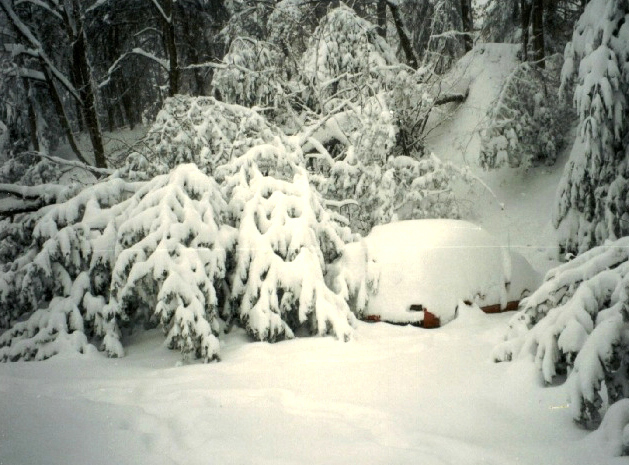
These elements often combine so that open landscapes, roads, and infrastructure become difficult or impossible to use. Blowing snow can create drifts and conceal roadways, while persistent winds keep snow suspended in the air.
Formation and meteorology
Blizzards generally develop when strong synoptic-scale systems produce a sharp temperature contrast and ample moisture. Interaction between a surface low-pressure area and an adjacent high-pressure region can create the pressure gradients that drive the winds responsible for the storm's severity; introductory explanations are available here and here. The storm’s snowfall may be locally enhanced by uplift mechanisms, and existing loose snow can be picked up by the flow to produce blowing snow see more.
Impacts, risks and examples
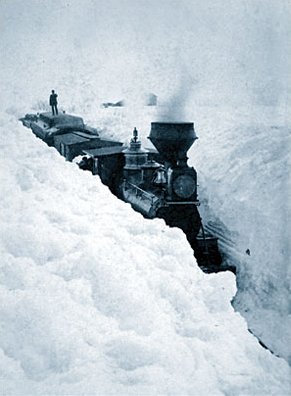
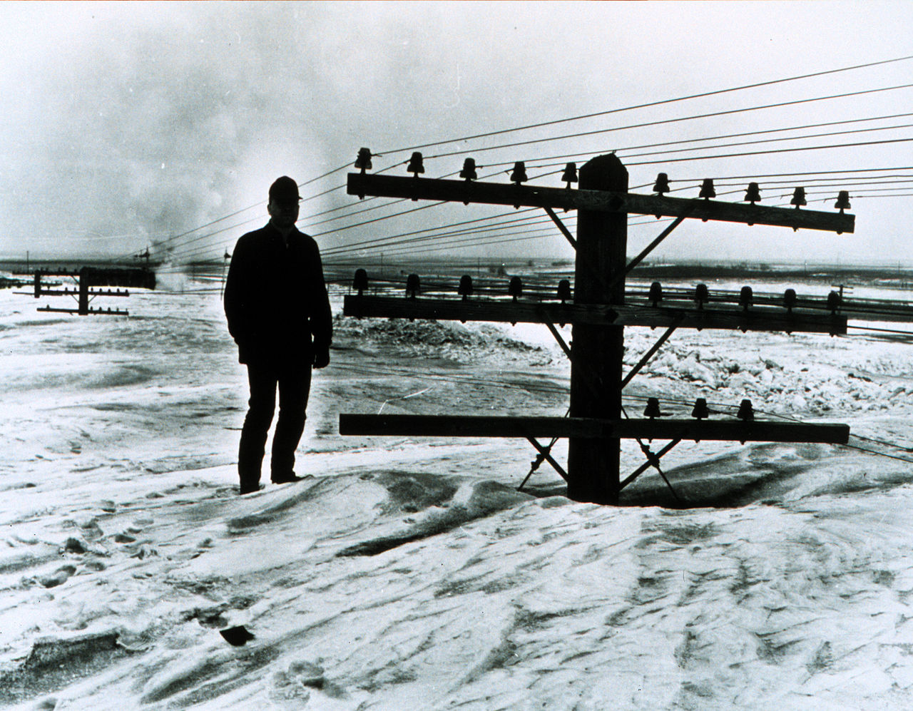
Blizzards can shut down transportation, interrupt power, isolate communities, and create life‑threatening conditions. Common hazards include whiteout conditions, road closures, collapsed roofs from accumulated snow, and exposure-related health issues. Historical events demonstrate the range of impacts from short, intense blizzards to multi-day storms that paralyze broad regions.
Forecasting, warnings and public guidance
Meteorological services issue watches, warnings, and advisories when conditions meet established thresholds. Forecasting combines satellite imagery, weather station data, and numerical models to predict wind, temperature, and snowfall. Public guidance emphasizes staying informed, avoiding travel during warnings, stocking emergency supplies, and understanding how media reports may use terminology imprecisely more on media use.
Distinctions and notable facts
Not every heavy snowstorm qualifies as a blizzard: the defining issue is the combination of wind-driven reduced visibility and duration, not only snowfall totals. The phenomenon of blowing snow that creates whiteout conditions is central to the definition and often causes the greatest hazards. For further reading on specific aspects of blizzard dynamics and preparedness, see additional resources blowing snow, cold impacts, and synoptic interactions such as high pressure meeting low pressure.
Awareness of local warning criteria and simple preparedness steps can substantially reduce risk during blizzard conditions.
Questions and answers
Q: What is a blizzard?
A: A blizzard is a severe snowstorm that is characterized by low temperatures, strong winds, and a lot of blowing snow.
Q: How are blizzards formed?
A: Blizzards start when a high pressure system touches a low pressure system.
Q: What is the difference between a blizzard and a big winter storm?
A: The word blizzard is sometimes used incorrectly by news media to talk about big winter storms even if the storm is not a blizzard.
Q: What are the weather conditions during a blizzard?
A: A blizzard is characterized by low temperatures, strong winds, and a lot of blowing snow.
Q: Is a blizzard a common occurrence?
A: No, blizzards are not a common occurrence as they are severe and happen under specific weather conditions.
Q: How is a blizzard different from other types of snowstorms?
A: A blizzard is different from other types of snowstorms due to its extreme weather conditions such as low temperatures, strong winds, and blowing snow.
Q: Can the media incorrectly report a blizzard?
A: Yes, the word blizzard is sometimes used incorrectly by news media to refer to big winter storms even if they do not meet the criteria of a blizzard.
Tags
Related articles
Author
AlegsaOnline.com Blizzard (severe snowstorm) Leandro Alegsa
URL: https://en.alegsaonline.com/art/12200