1979 Pacific typhoon season
Summary of the 1979 Pacific typhoon season: activity summary, agencies and naming, notable storms (including record‑setting Typhoon Tip), impacts, and meteorological significance.
The 1979 Pacific typhoon season produced a busy and varied set of tropical cyclones in the northwestern Pacific Ocean. While the basin has no official start or end dates and can generate storms year‑round, most activity in 1979 clustered between June and December. During the year, 28 tropical depressions formed; 23 of these strengthened into tropical storms, 14 became typhoons, and four reached super typhoon intensity.
Image gallery
10 Images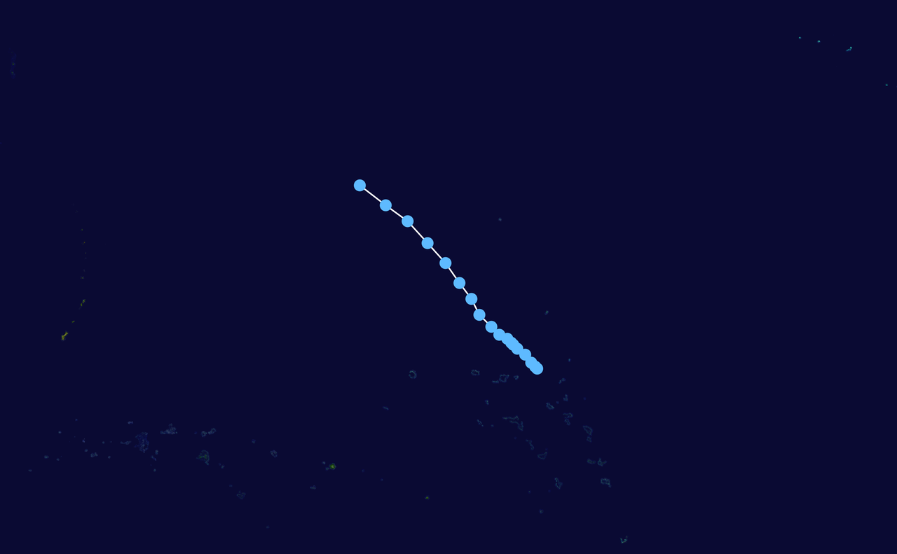


Season statistics
- Tropical depressions: 28
- Tropical storms: 23
- Typhoons: 14
- Super typhoons: 4
Meteorological agencies that monitored and classified storms in 1979 included the Japan Meteorological Agency (JMA) and the Joint Typhoon Warning Center (JTWC); the Philippine Atmospheric, Geophysical and Astronomical Services Administration (PAGASA) issued local names and warnings for systems that entered the Philippine Area of Responsibility. Classification and naming conventions differ slightly among agencies, so storm counts and intensities can vary depending on the source.
Notable storms and records
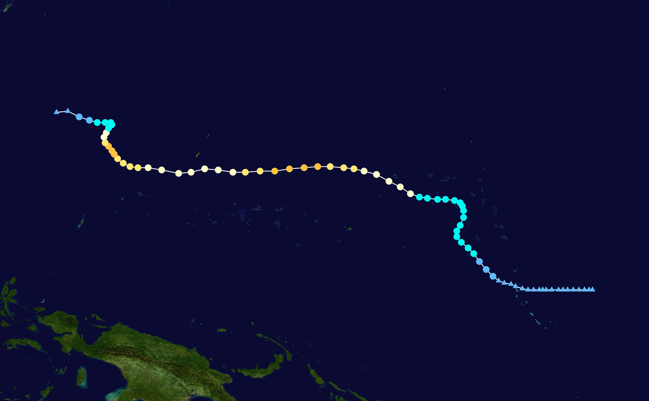
The most historically significant system of the year was Typhoon Tip, which formed in October 1979. Tip remains the most intense tropical cyclone on record in terms of central pressure and one of the largest by physical size. Best‑known estimates put Tip's minimum central pressure at about 870 hPa and its cloud and wind field spanning a diameter of roughly 2,220 km. Tip's exceptional characteristics have made it a frequent subject of research into tropical cyclone dynamics and measurement techniques.
Aside from Tip, the season produced several other intense systems; four storms reached sustained intensities classified as super typhoons by the JTWC. These high‑intensity events contributed to significant weather impacts across East and Southeast Asia.
Impacts and significance
Storms during the 1979 season affected a wide area, including the Philippines, Taiwan, Japan, coastal China and the Korean Peninsula. Impacts typically included heavy rainfall, flooding, landslides, storm surge and disruption to shipping and coastal communities. The season occurred during an era when satellite monitoring and numerical forecasting were improving rapidly, and observations from large storms such as Tip informed subsequent advances in storm analysis, forecasting methods and emergency planning.
For more on the regional climatology and basin limits, see material on the northwestern Pacific Ocean and how it supports year‑round tropical cyclone activity.
Questions and answers
Q: When did the 1979 Pacific typhoon season start and end?
A: There are no official limits for the 1979 Pacific typhoon season, so it ran year-round in 1979.
Q: When do most tropical cyclones tend to form in the northwestern Pacific Ocean?
A: Most tropical cyclones tend to form in the northwestern Pacific Ocean between June and December.
Q: How many tropical depressions formed in the Western Pacific in 1979?
A: 28 tropical depressions formed in the Western Pacific in 1979.
Q: How many of the tropical depressions that formed in the Western Pacific in 1979 became tropical storms?
A: 23 of the tropical depressions that formed in the Western Pacific in 1979 became tropical storms.
Q: How many storms reached typhoon intensity in the 1979 Pacific typhoon season?
A: 14 storms reached typhoon intensity in the 1979 Pacific typhoon season.
Q: How many of the 14 storms that reached typhoon intensity in the 1979 Pacific typhoon season reached super typhoon strength?
A: Four of the 14 storms that reached typhoon intensity in the 1979 Pacific typhoon season reached super typhoon strength.
Q: What is the difference between a typhoon and a super typhoon?
A: A super typhoon is a typhoon with maximum sustained winds of at least 240 km/h (150 mph).
Related articles
Author
AlegsaOnline.com 1979 Pacific typhoon season Leandro Alegsa
URL: https://en.alegsaonline.com/art/112156