Yass, New South Wales
Yass is a historic service town in the Southern Tablelands of New South Wales, Australia, known for its 19th‑century main street, agricultural hinterland and annual community festivals.
Overview
Yass is a regional town in the Southern Tablelands of New South Wales, within the Yass Valley local government area. It functions as a service and market centre for surrounding farms and smaller settlements and is noted for a well preserved 19th‑century main street. The town name is commonly thought to be derived from an Aboriginal word transcribed as "Yarrh" or "Yharr," often interpreted to mean "running water." Yass combines a rural economy with tourism and community services typical of inland Australian country towns.
Image gallery
10 Images


Location and geography
Yass lies roughly 280 km southwest of Sydney and about 56 km north of Canberra, placing it within easy driving distance of these capital cities. It sits near the route that links Melbourne and Sydney, although much through traffic now uses the Hume Freeway bypass around the town. The Yass River flows past the township and later joins the Murrumbidgee River, forming part of the larger Murray–Darling catchment. The surrounding landscape is typical of the Southern Tablelands: rolling grazing country, mixed cropping paddocks and pockets of native woodland.
History
Prior to European settlement the district was home to Aboriginal people whose connections to the land and waterways are reflected in place names and local history. European pastoral settlement expanded across the tablelands in the 19th century, with Yass developing as a service centre for wool and livestock enterprises. Many buildings from the 1800s survive along the main street and in surrounding town precincts, giving Yass its distinctive colonial streetscape. Transport links — including a local branch railway in earlier decades and the highway corridor — shaped its role as a regional hub.
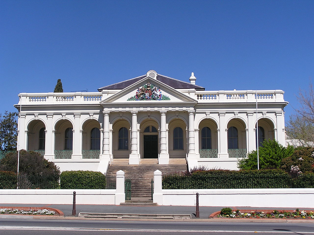
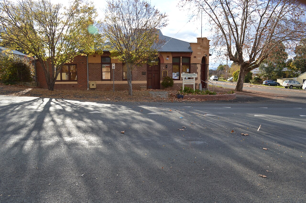
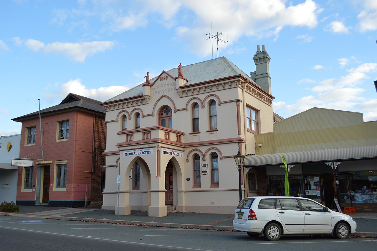
Built environment and heritage
The town retains a well‑preserved main street with sandstone and timber buildings, historic hotels with prominent verandahs and period commercial facades that attract visitors interested in heritage architecture. Public buildings, churches and war memorials contribute to the town’s historic character. Conservation of these places is an ongoing focus for local groups and the council, balancing preservation with contemporary services.
Economy and land use
Yass serves as a centre for livestock grazing, wool production and mixed farming in the surrounding shire. Light industry, regional service providers, specialty food producers and artisan businesses contribute to the local economy. Tourism linked to heritage architecture, short‑break visits from nearby cities and events provides an important supplementary income stream for hospitality and retail businesses.
Community life and events
Community festivals, agricultural shows and markets are important to Yass’s social life. Annual events include the Pride of Erin Festival and the Yass Show, typically held in March, and an arts‑and‑crafts festival in November that showcases makers, local produce and visual arts. Regular country markets, historical society activities and sporting clubs sustain active civic engagement throughout the year.
Climate and environment
Yass experiences a temperate climate with cool to mild seasons, warm summers and cool winters that can bring frosts. Native vegetation remnants and river corridors provide habitat for regional wildlife and are valued for conservation and recreational use. The Yass River and nearby watercourses have been important for agriculture and settlement.
Access and visitor information
The town is conveniently sited for visitors travelling between Melbourne and Sydney and for day trips from Canberra. Much traffic now uses the Hume Freeway bypass, which reduces through‑traffic while leaving the town accessible by local roads. Visitors most commonly enjoy the historic main street, local galleries and cafés, and nearby rural scenery; the distinctive hotels and verandahs are often singled out by tourists and day‑trippers as highlights (verandahs and hotels).
- Administration: part of the Yass Valley local government area and regional planning networks
- Waterways: Yass River flows past the town into the Murrumbidgee River
- Distances: roughly 280 km from Sydney and about 56 km from Canberra
- Visitor resources: local museum and council sites, regional tourism pages and event calendars (see local visitor information and community noticeboards)
For up‑to‑date event dates, opening hours of heritage sites and transport options consult local visitor services and the Yass Valley community information portals. Local historical societies, archives and council records offer more detailed material for researchers and residents interested in the town’s past and its place in the Southern Tablelands region.
Further reading and practical planning resources are available through regional government and tourism pages covering New South Wales and Australia, and through community websites that host event schedules and visitor guides.
Questions and answers
Q: Where is Yass located?
A: Yass is located in the Southern Tablelands of New South Wales, Australia.
Q: What is the Yass Valley Shire?
A: The Yass Valley Shire is the administrative district that includes Yass.
Q: What is the meaning of the name Yass?
A: The name Yass probably comes from an Aboriginal word "Yarrh" (or "Yharr"), meaning 'running water'.
Q: How far is Yass from Sydney and Canberra?
A: Yass is located about 280 km southwest of Sydney and 56 km north of Canberra.
Q: Which major road runs through Yass?
A: The Hume Highway, which is the main road between Melbourne and Sydney, runs through Yass.
Q: What river flows past Yass?
A: The Yass River flows past the town and later flows into the Murrumbidgee River.
Q: What are some popular events held in Yass?
A: Some popular events held in Yass include the Pride of Erin Festival and Yass Show in March, and the Yass Arts-and-Crafts Festival in November.
Related articles
Author
AlegsaOnline.com Yass, New South Wales Leandro Alegsa
URL: https://en.alegsaonline.com/art/109667
Sources
- censusdata.abs.gov.au : "Yass (state suburb)"
- wikidata.org : wikidata.org/wiki/Q1380121
- localhero.biz : "Local history of Yass"
- nswrail.net : "Yass Branch"
- theage.com.au : "Yass"