
Willamette River
Major north-flowing river in northwestern Oregon. The Willamette runs about 187 miles, shapes the Willamette Valley and supports cities, agriculture, transport, and important ecological habitats.
The Willamette River is a principal tributary of the Columbia River, contributing a substantial share of that river's spring and summer flow. Its main stem stretches roughly 187 miles and lies entirely within northwestern Oregon. Unusual among large rivers in the United States, it flows generally northward, draining a broad valley between the Coast Range and the Cascade Range.
Image gallery
10 Images


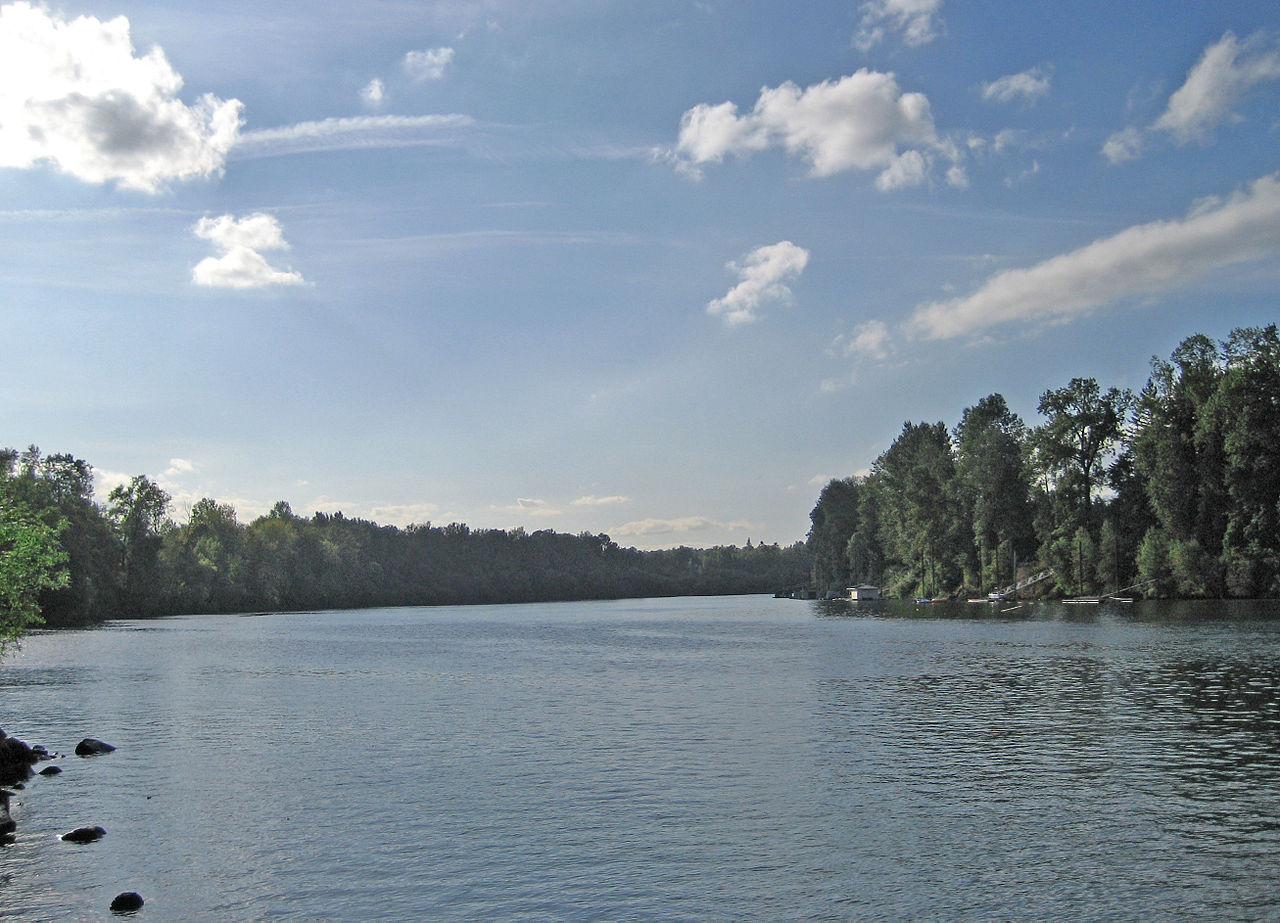


Overview and setting
The Willamette and its network of tributaries form the productive Willamette Valley, a lowland basin that contains a major portion of Oregon's population and much of the state's farmed land. Two of the valley's principal cities, Salem (the state capital) and Portland (the largest city), have strong historical and economic ties to the river. Portland sits near the Willamette's confluence with the Columbia and has long relied on the river for industry, transport, and recreation.
Physical characteristics
The Willamette's main stem is about 187 miles (301 km) long and, depending on seasonal conditions, delivers roughly 12–15% of the Columbia River's total discharge. Its basin includes upland headwaters, forested mountain tributaries, and extensive lowland floodplains. Major tributaries that feed the Willamette include the Santiam, McKenzie, Calapooia, Clackamas and Yamhill rivers, which together create a dendritic network that drains much of western Oregon.
- Length: ~187 miles (main stem)
- Contribution to Columbia River flow: commonly estimated at 12–15%
- Main uses: agriculture, municipal water supply, navigation, recreation
Geologic history
The river basin's long-term form reflects tectonic forces: the region was shaped by plate tectonics and later sculpted by volcanism from the Cascades and by persistent erosion. Near the end of the last ice age, catastrophic outburst floods known as the Missoula Floods reworked portions of the landscape, leaving distinctive channels and sedimentary deposits. These processes combined to produce the broad, fertile valley and the river's present course through western Oregon's lowlands and foothills, defining the basin's overall drainage basin.
Human history and cultural importance
People have occupied the Willamette watershed for more than ten thousand years. Indigenous communities maintained villages along the lower river and at its mouth on the Columbia, relying on salmon, camas, and other resources. With Euro-American settlement in the 19th century, the valley became a center for agriculture, trade, and river transportation. Towns and cities grew along the Willamette, and the river corridor became integral to regional development.
Uses, ecology, and contemporary challenges
Today the Willamette supports irrigated farms, urban water supplies, commercial and recreational navigation, and a range of fisheries. Historically abundant runs of Pacific salmon and steelhead have declined in many reaches because of habitat loss, dams, pollution and changes in flow regime; restoration and conservation efforts remain important regional priorities. Water quality, flood management, and balancing urban and agricultural demands continue to shape policy and community action along the river.
Notable facts include the river's northward direction and its central role in concentrating population and agriculture in western Oregon. Its combination of geological history, ecological value, and economic importance makes the Willamette an instructive example of how rivers influence both landscape and human settlement.
Questions and answers
Q: What is the Willamette River?
A: The Willamette River is a major tributary of the Columbia River, accounting for 12 to 15 percent of the Columbia's flow.
Q: Where is the Willamette River located?
A: The Willamette River is located entirely in northwestern Oregon in the United States.
Q: How long is the main stem of the Willamette River?
A: The main stem of the Willamette River is 187 miles (301 km) long.
Q: What is the Willamette Valley?
A: The Willamette Valley is a basin that contains two-thirds of Oregon's population, including the state capital, Salem, and the state's largest city, Portland, which surrounds the Willamette's mouth at the Columbia.
Q: How was the river's drainage basin modified?
A: The river's drainage basin was significantly modified by the Missoula Floods at the end of the most recent ice age.
Q: How long have humans been living in the Willamette River watershed?
A: Humans have been living in the watershed over 10,000 years ago.
Q: Were there once many tribal villages along the lower river?
A: Yes, there were once many tribal villages along the lower river and in the area around its mouth on the Columbia. Indigenous peoples lived throughout the upper reaches of the basin as well.
Author
AlegsaOnline.com Willamette River Leandro Alegsa
URL: https://en.alegsaonline.com/art/108161
Sources
- willamette-riverkeeper.org : "Facts About the Willamette River" · web.archive.org
- oregonencyclopedia.org : "Willamette River"
- waterdata.usgs.gov : "Water-Year Summary for Site USGS 14211720"
- 140.194.76.129 : "Willamette River Multi-Purpose Development in the 1930s" · web.archive.org