
Wellington, New South Wales
Regional town in central-west NSW at the confluence of the Macquarie and Bell Rivers; service centre for Wellington Shire with agriculture, heritage sites and nearby limestone caves.
Overview
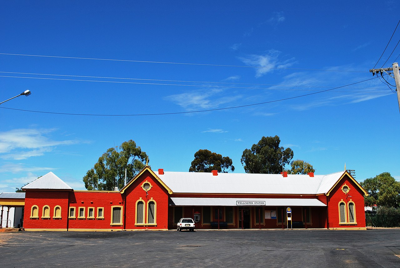
Wellington is a regional town in central‑western New South Wales and the administrative centre of Wellington Shire. Situated where the Macquarie River meets the Bell River, the town serves as a local hub for surrounding farms, small businesses and public services.
Image gallery
4 Images


Geography and transport
The town lies on the plains of the central west and historically developed around the river junction that provided water and transport links. It is located roughly 360–370 km from Sydney by road, at the intersection of the Great Western and Mitchell Highways, providing road connections to larger regional centres and to the state capital (route information).
History and development
European settlement in the area dates to the early 19th century. The town grew as a service and supply point for pastoral runs and later for cropping districts. Over time Wellington evolved from a rural outpost into the seat of the local government area, managing services and infrastructure for the surrounding shire.
Economy and attractions
The local economy is dominated by agriculture—sheep and cattle grazing, broadacre cropping and associated services. Tourism and heritage conservation also play a role: nearby limestone features and fossil sites attract visitors interested in natural history. The region offers river recreation, fishing and rural events that draw people from the wider district.
Climate and population
Wellington experiences a temperate inland climate. Average summer temperatures typically range from about 17.5°C to 31.7°C, while winter daytime and overnight temperatures commonly fall between roughly 1.5°C and 15°C. At the time of the 2001 census the town recorded a population of 4,672 and the wider Wellington Shire had about 9,200 residents; more recent counts may differ as demographics change over time (population data).
Notable facts and practical information
- Wellington is the administrative centre for the Wellington Shire local government area.
- The confluence of the Macquarie and Bell Rivers is a defining geographic feature and local focal point.
- Nearby caves and fossil localities are significant for visitors and researchers interested in the region's natural history.
For more detailed local services, heritage listings and visitor information consult regional guides and the shire council resources (local portal).
Questions and answers
Q: Where is Wellington located?
A: Wellington is located in New South Wales.
Q: Which two rivers join together in Wellington?
A: The Macquarie and Bell Rivers join together in Wellington.
Q: What is the Wellington Shire Local Government Area?
A: The Wellington Shire Local Government Area is the center of the town.
Q: How far is Wellington from Sydney?
A: Wellington is 362kms from Sydney on the Great Western Highway and Mitchell Highway.
Q: What are the average summer temperatures in Wellington?
A: The average summer temperatures in Wellington are between 17.5º Celsius and 31.7º Celsius.
Q: How many people lived in Wellington in 2001?
A: In 2001, there were 4,672 people living in Wellington.
Q: How many people lived in the Wellington Shire in 2001?
A: In 2001, there were 9,200 people living in the Wellington Shire.
Related articles
Author
AlegsaOnline.com Wellington, New South Wales Leandro Alegsa
URL: https://en.alegsaonline.com/art/107210