Warsaw — Capital and Largest City of Poland
Warsaw (Polish: Warszawa) is Poland's capital and largest city, a political, cultural and economic centre known for its reconstructed Old Town, museums, universities and riverside setting on the Vistula.
Overview: Warsaw (Warszawa) is the capital and largest city of Poland, located in the Masovian Voivodeship in east-central Poland. It serves as the country's principal seat of government, a national transportation hub and an economic centre. The metropolitan area is home to roughly one and three quarters to two million people, depending on the boundaries applied; residents are commonly known in English as Varsovians.
Image gallery
10 Images


Names and language variants
The name of the city appears in many languages and historical forms. Variants include Latin and Spanish Varsovia, French Varsovie, Portuguese Varsóvia, German and Dutch Warschau, Lithuanian Varšuva, Hungarian Varsó and Czech Varšava. In Polish the city is called Warszawa, and older English texts may use forms derived from Latin or other languages.
Geography and administration
Warsaw straddles the Vistula River and combines dense central districts with residential neighborhoods, parks and industrial areas. As both a municipality and the voivodeship capital, the city hosts ministries, courts and many regional authorities. Its green spaces and riverfront promenades are important urban features.
History and reconstruction
Originally a medieval settlement, Warsaw rose in prominence over centuries and became the principal seat of the Polish state in the early modern era. The city suffered extensive damage during World War II, including the destruction of much of the historic centre and heavy casualties during the 1944 Uprising. In the postwar period major reconstruction projects rebuilt key landmarks and the Old Town, a restoration widely noted for its historical care and inscribed as a UNESCO World Heritage Site.
Culture, education and economy
Warsaw is a major cultural centre with national museums, theatres, concert halls and galleries. Prominent higher education institutions, including large public universities and technical schools, shape research and professional life. The city is also Poland's financial hub, with banking, corporate headquarters and a stock exchange concentrated in modern business districts.
Landmarks and transport
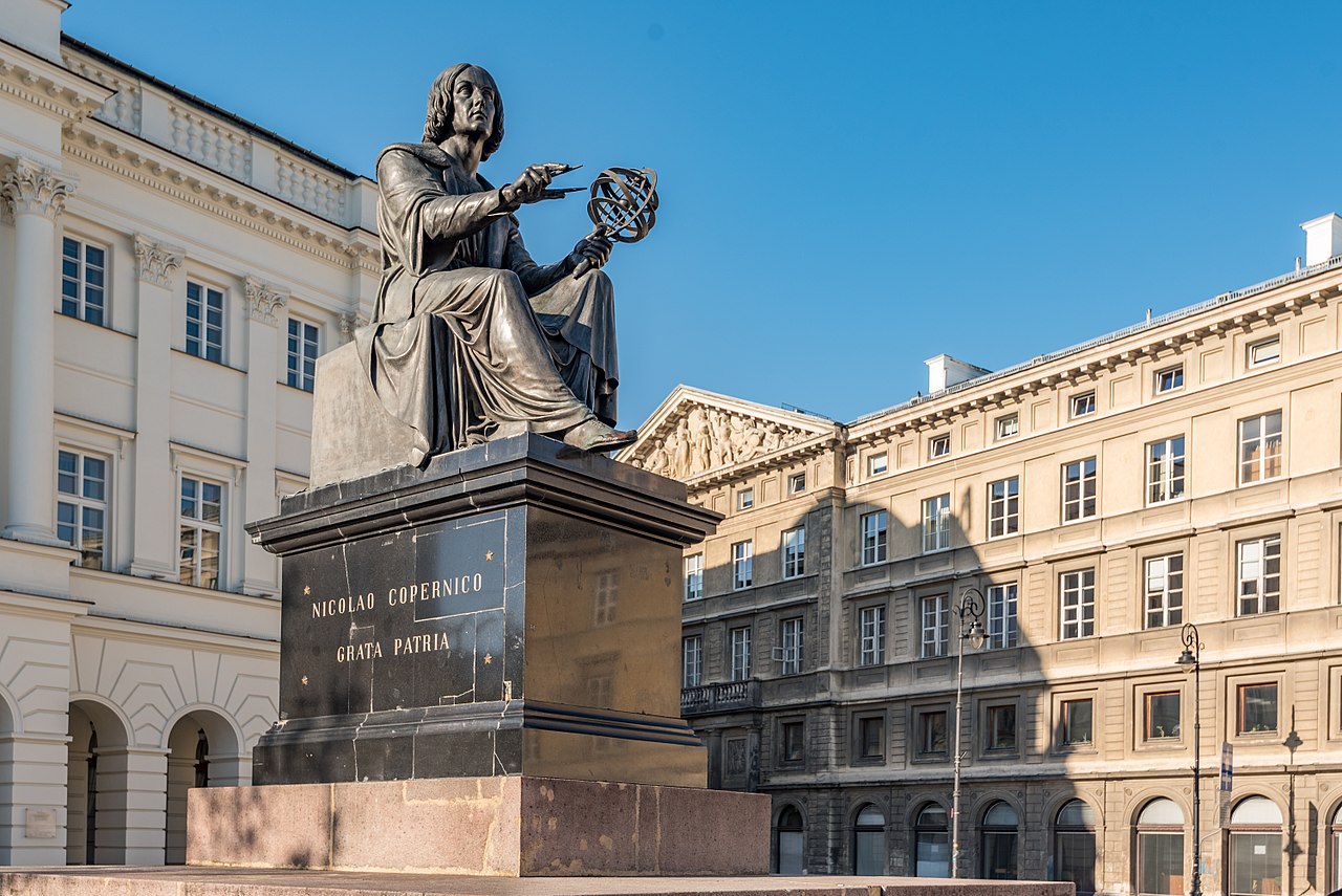
Visitors and residents alike frequent the reconstructed Old Town and Royal Castle, the historic parks such as Łazienki, and notable modern and historic buildings such as the Palace of Culture and Science. Transport includes an international airport, national and international rail links, a metro system, trams and extensive bus networks that together support commuting and tourism.
Demographics and neighbourhoods
Warsaw's population is diverse in age and occupation and the urban area contains distinctive districts with different characters—historic central quarters, riverside areas, postwar housing estates and newer commercial zones. Urban planning, housing, and infrastructure continue to evolve as the city grows.
Significance
- Political centre: seat of national government and many diplomatic missions.
- Cultural life: museums, festivals, theatres and universities attract national and international audiences.
- Economic role: major centre for finance, services and industry in Poland.
For further reading on Warsaw's history, monuments and civic institutions consult reputable guidebooks and national cultural resources that provide detailed, up-to-date information on the city's development and offerings.

Name origin
According to popular tradition, Warszawa was originally a remote little fishing settlement on the banks of the Vistula. It is said to have been founded by the poor fisherman Warsz and his wife Sawa. According to the tale, Sawa was a mermaid who lived in the river (see Warsz's coat of arms) and fell in love with the fisherman.
Warsaw was first mentioned in 1241 in the Latin formula of a deed of donation (actum et datum Varschevie, i.e. "decreed and issued at Warsaw"), later medieval names include Warseuiensis (1321, Latin adjective), Varschewia (1342) and Warschouia (1482).
The etymology of the toponym is unclear. The most common hypothesis, favoured among others by Aleksander Brückner, is that the name of the town goes back to the genitive form of the proper name Warsz and thus means something like "[village/estate] of Warsz"; however, this first name itself is hardly documented and its derivation is uncertain, possibly it is a short form of Warcisław. The presumed owner and eponym of the settlement may have been a property owner in the area of today's Solec and Mariensztat districts and may have been a member of the noble family of Rawa or Rawicz.
Other authors assume a Baltic origin of the name, whereby a whole series of etyma offer themselves for comparison, for example the adjective *virš-ī'n- "upper" (cf. Lithuanian viršùs "height, peak, summit"); according to Simas Karaliūnas', Warszawa rather goes back to a Lithuanian Ãpvaršuva, which is supposed to mean "place, with duty of hospitality [to the visiting king]" (cf. Lithuanian apvaišinti, "to entertain all") and is also supposed to have given rise to the name of the royal estate Opvoišovo near Pajūris in Tauroggen.
The city's official name today is Miasto stołeczne Warszawa ("The Capital City of Warsaw"). The inhabitants of Warsaw are called Warsovians - in Polish Warszawiak, Warszawianin (male), Warszawianka (female), Warszawiacy and Warszawianie (plural).
Geographical position
Warsaw is located on the middle Vistula River, in the glacial valley of the Vistula River, and on the Middle Mazovian Depression at an average altitude of 100 meters above sea level. The city spreads out on both sides of the Vistula and is located about halfway between the Carpathian Mountains and the Baltic Sea - it is about 350 km each. The historic city centre is located on the left, western bank of the Vistula on the elongated Vistula cliff Skarpa Wiślana, which rises relatively steeply about 15 to 30 metres above the Vistula. One of the first bridges in Europe, several hundred metres long, connected the two banks as early as the 16th century. This favoured the expansion of the city development to the right bank of the Vistula, which has always been called Praga. In the city area there are several glacial moraine hills as well as man-made hills. The Vistula River is navigable in the Warsaw area. The city has the inland port of Żerań on the right bank of the Vistula. However, shipping traffic is limited to smaller ships and boats, as the river depth often does not exceed three meters.
Climate
Warsaw is located in the transition zone from maritime to continental climate. The average annual temperature is 8.5 °C. The coldest month is January with an average temperature of -1.9 °C and the warmest is July with 19 °C. Summers are warm to hot, winters are cool and sometimes freezing cold. The sum of annual precipitation does not exceed 550 mm. A thick layer of snow is not uncommon in the winter months and the waters in the parks and the Vistula can freeze over completely.
| Warsaw (data from 2015 to 2020) | ||||||||||||||||||||||||||||||||||||||||||||||||
| Climate diagram | ||||||||||||||||||||||||||||||||||||||||||||||||
| ||||||||||||||||||||||||||||||||||||||||||||||||
| Climate data Warsaw
Source: DWD, data: 2015-2020, except sunshine hours from October to December: 2015-2019 | |||||||||||||||||||||||||||||||||||||||||||||||||||||||||||||||||||||||||||||||||||||||||||||||||||||||||||||||||||||||||||||||||||||||||||||||||||||||||||||||||||||||||||||||||||||||||||||||||||||||||||||||
| Warsaw (data from 1961 to 1990) | ||||||||||||||||||||||||||||||||||||||||||||||||
| Climate diagram | ||||||||||||||||||||||||||||||||||||||||||||||||
| ||||||||||||||||||||||||||||||||||||||||||||||||
| Climate data Warsaw
Source: DWD, data: 1961-1990, except rainy days: 1931-1960, humidity: 1951-1960 | |||||||||||||||||||||||||||||||||||||||||||||||||||||||||||||||||||||||||||||||||||||||||||||||||||||||||||||||||||||||||||||||||||||||||||||||||||||||||||||||||||||||||||||||||||||||||||||||||||||||||||||||||||||||||||||||||||||||||||||||||||||||||||||||||||||||||||
City breakdown
Since the last administrative reform in 2002, Warsaw is once again a unified municipality, which at the same time has the status of a district (Polish: powiat). This status is roughly comparable to a district-free city in Germany. Previously, Warsaw was a relatively loose municipal association consisting of several independent municipalities (gminy). Now the city is divided into 18 boroughs (dzielnice), which are quite subordinate to a city-wide administration. Most of the new districts were created from the old municipalities, but with two exceptions:
- The old municipality of Centrum was dissolved and divided into seven districts. Here one returned to the division and naming that had existed until the beginning of the 1990s and which largely originated from pre-war times.
- The former suburban municipality of Wesoła was incorporated when the administrative reform came into force and now forms the district of the same name in the city of Warsaw.
The following are the current districts of Warsaw in numbers (as of 2014):
| Name | Area in km² | Population | Population density in ew./km² |
| Bemowo | 25,0 | 118.057 | 4722 |
| Białołęka | 73,0 | 109.062 | 1494 |
| Bielany | 32,3 | 131.934 | 4084 |
| Mokotów | 35,4 | 218.911 | 6184 |
| Ochota | 9,7 | 84.280 | 8688 |
| Praga-Południe | 22,4 | 178.309 | 7960 |
| Praga-Północ | 11,4 | 67.279 | 5901 |
| Rembertów | 19,3 | 23.812 | 1233 |
| Śródmieście | 15,6 | 120.091 | 7698 |
| Targówek | 24,2 | 123.677 | 5110 |
| Ursus | 9,4 | 56.490 | 6009 |
| Ursynów | 43,8 | 148.385 | 3387 |
| Wawer | 79,7 | 72.921 | 915 |
| Wesoła | 22,6 | 24.073 | 1065 |
| Wilanów | 36,7 | 30.703 | 836 |
| Włochy | 28,6 | 39.940 | 1396 |
| Wola | 19,3 | 138.462 | 7174 |
| Żoliborz | 8,5 | 49.056 | 5771 |
| Total | 516,7 | 1.735.442 | 3356 |

Related articles
Author
AlegsaOnline.com Warsaw — Capital and Largest City of Poland Leandro Alegsa
URL: https://en.alegsaonline.com/art/106632
Sources
- bdl.stat.gov.pl : "Local Data Bank"
- appsso.eurostat.ec.europa.eu : appsso.eurostat.ec.europa.eu/nui/show.do?dataset=urb_lpop1&lang=en
- ec.europa.eu : ec.europa.eu